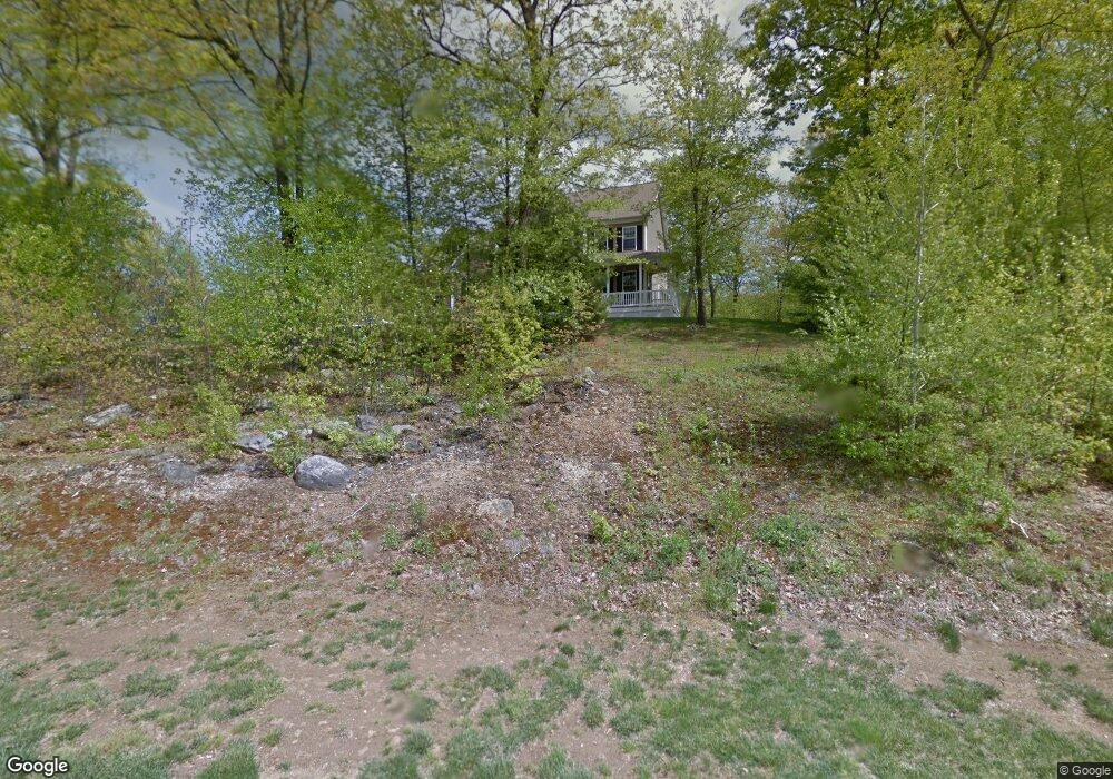
18 Arvida Rd Wolcott, CT 06716
Estimated Value: $621,000 - $759,000
5
Beds
3
Baths
2,536
Sq Ft
$263/Sq Ft
Est. Value
About This Home
This home is located at 18 Arvida Rd, Wolcott, CT 06716 and is currently estimated at $668,011, approximately $263 per square foot. 18 Arvida Rd is a home located in New Haven County with nearby schools including Tyrrell Middle School and Wolcott High School.
Ownership History
Date
Name
Owned For
Owner Type
Purchase Details
Closed on
Dec 18, 2007
Sold by
Cartus Financial Corp
Bought by
Lombardi Anthony and Lombardi Kathleen E
Current Estimated Value
Home Financials for this Owner
Home Financials are based on the most recent Mortgage that was taken out on this home.
Original Mortgage
$320,000
Interest Rate
6.3%
Purchase Details
Closed on
Oct 10, 2007
Sold by
Williams Nancy
Bought by
Cartus Financial Corp
Purchase Details
Closed on
Aug 19, 2004
Sold by
Assenza Builders Inc
Bought by
Williams Nancy
Home Financials for this Owner
Home Financials are based on the most recent Mortgage that was taken out on this home.
Original Mortgage
$120,000
Interest Rate
6.03%
Mortgage Type
Purchase Money Mortgage
Create a Home Valuation Report for This Property
The Home Valuation Report is an in-depth analysis detailing your home's value as well as a comparison with similar homes in the area
Home Values in the Area
Average Home Value in this Area
Purchase History
| Date | Buyer | Sale Price | Title Company |
|---|---|---|---|
| Lombardi Anthony | $400,000 | -- | |
| Cartus Financial Corp | $432,500 | -- | |
| Williams Nancy | $389,900 | -- |
Source: Public Records
Mortgage History
| Date | Status | Borrower | Loan Amount |
|---|---|---|---|
| Open | Cartus Financial Corp | $315,000 | |
| Closed | Cartus Financial Corp | $320,000 | |
| Closed | Cartus Financial Corp | $60,000 | |
| Previous Owner | Williams Nancy | $120,000 |
Source: Public Records
Tax History
| Year | Tax Paid | Tax Assessment Tax Assessment Total Assessment is a certain percentage of the fair market value that is determined by local assessors to be the total taxable value of land and additions on the property. | Land | Improvement |
|---|---|---|---|---|
| 2025 | $10,091 | $280,860 | $62,700 | $218,160 |
| 2024 | $9,288 | $280,860 | $62,700 | $218,160 |
| 2023 | $8,951 | $280,860 | $62,700 | $218,160 |
| 2022 | $8,650 | $280,860 | $62,700 | $218,160 |
| 2021 | $8,646 | $260,880 | $60,750 | $200,130 |
| 2020 | $8,646 | $260,880 | $60,750 | $200,130 |
| 2019 | $8,646 | $260,880 | $60,750 | $200,130 |
| 2018 | $8,400 | $260,880 | $60,750 | $200,130 |
| 2017 | $7,506 | $240,050 | $60,750 | $179,300 |
| 2016 | $7,929 | $274,250 | $62,870 | $211,380 |
| 2015 | $7,701 | $274,250 | $62,870 | $211,380 |
| 2014 | $7,451 | $274,250 | $62,870 | $211,380 |
Source: Public Records
Map
Nearby Homes
- 47 Arvida Rd
- 0 Arvida Rd Unit 24054898
- 3 Pimlico Rd
- 870 Woodtick Rd
- 21 Irene Ave
- 188 Beth Ln
- 16 Crosswinds Ln
- 88 Wakelee Rd Unit 25
- 494 Woodtick Rd
- 105 Industry Ln Unit 10
- 8 Bonnie Ln
- 312 Celia Dr
- 54 Highlawn St
- 438 Atwood Ave
- 0 Woodtick Rd Unit 24119429
- 387 Atwood Ave
- 124 Highlawn St
- 27 Amber Place
- 51 Rockridge Rd
- 263 Atwood Ave
Your Personal Tour Guide
Ask me questions while you tour the home.