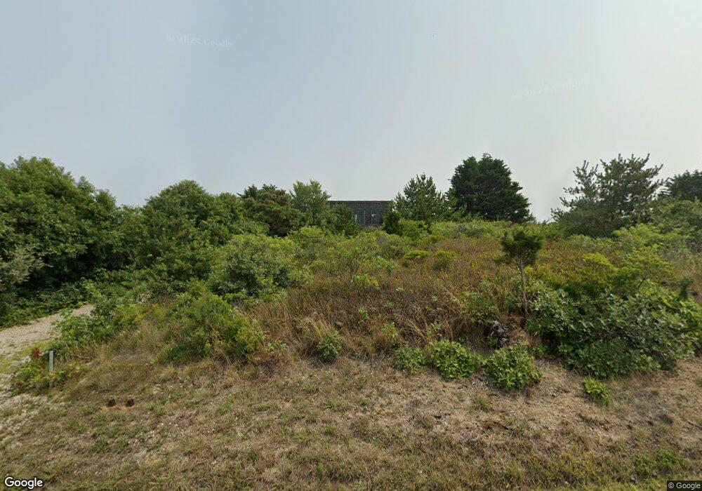
18 Bayview Rd Wellfleet, MA 02667
Estimated Value: $1,760,458 - $1,904,000
3
Beds
2
Baths
2,224
Sq Ft
$818/Sq Ft
Est. Value
About This Home
This home is located at 18 Bayview Rd, Wellfleet, MA 02667 and is currently estimated at $1,819,865, approximately $818 per square foot. 18 Bayview Rd is a home located in Barnstable County with nearby schools including Truro Central School.
Ownership History
Date
Name
Owned For
Owner Type
Purchase Details
Closed on
Jul 31, 2023
Sold by
Frank F Smith Lt and Smith
Bought by
Santina G Smith Lt and Smith
Current Estimated Value
Purchase Details
Closed on
Jul 25, 2017
Sold by
Solo Pamela A
Bought by
Pamela A Solo Lt and Solo
Purchase Details
Closed on
Mar 31, 1997
Sold by
Potts Stanley W and Potts Joanne P
Bought by
Solo Pamela A
Create a Home Valuation Report for This Property
The Home Valuation Report is an in-depth analysis detailing your home's value as well as a comparison with similar homes in the area
Home Values in the Area
Average Home Value in this Area
Purchase History
| Date | Buyer | Sale Price | Title Company |
|---|---|---|---|
| Santina G Smith Lt | -- | None Available | |
| Santina G Smith Lt | -- | None Available | |
| Pamela A Solo Lt | -- | -- | |
| Solo Pamela A | $165,000 | -- | |
| Pamela A Solo Lt | -- | -- | |
| Solo Pamela A | $165,000 | -- |
Source: Public Records
Mortgage History
| Date | Status | Borrower | Loan Amount |
|---|---|---|---|
| Previous Owner | Solo Pamela A | $175,000 | |
| Previous Owner | Solo Pamela A | $297,000 | |
| Previous Owner | Solo Pamela A | $292,000 |
Source: Public Records
Tax History
| Year | Tax Paid | Tax Assessment Tax Assessment Total Assessment is a certain percentage of the fair market value that is determined by local assessors to be the total taxable value of land and additions on the property. | Land | Improvement |
|---|---|---|---|---|
| 2025 | $9,342 | $1,511,700 | $777,400 | $734,300 |
| 2024 | $8,669 | $1,447,300 | $769,700 | $677,600 |
| 2023 | $7,889 | $1,206,300 | $644,900 | $561,400 |
| 2022 | $7,541 | $975,600 | $555,900 | $419,700 |
| 2021 | $6,824 | $924,600 | $555,900 | $368,700 |
| 2020 | $6,744 | $920,000 | $550,300 | $369,700 |
| 2019 | $6,733 | $903,800 | $550,300 | $353,500 |
| 2018 | $6,447 | $874,700 | $550,300 | $324,400 |
| 2017 | $6,003 | $860,100 | $550,100 | $310,000 |
| 2016 | $5,761 | $850,900 | $544,800 | $306,100 |
| 2015 | $5,552 | $837,400 | $539,400 | $298,000 |
Source: Public Records
Map
Nearby Homes
- 4 Highland Rd Unit C
- 32 Twine Field Rd
- 23 Crestview Cir
- 7 Fishermans Rd
- 27 Fishermans Rd
- 4 S Highland Rd Unit C
- 128 Shore Rd
- 3 Bayberry Rd
- 132 Shore Rd Unit 7
- 7 Great Hollow Rd Unit 50
- 7 Great Hollow Rd Unit 50
- 168 Shore Rd Unit 9
- 169 Shore Rd Unit 15
- 2 Aldrich Rd
- 4 Resolution Rd
- 2 Resolution Rd
- 25 Resolution Rd
- 52 Corn Hill Rd
- 2 Meetinghouse Rd Unit 2
- 63 Old Kings Hwy
Your Personal Tour Guide
Ask me questions while you tour the home.
