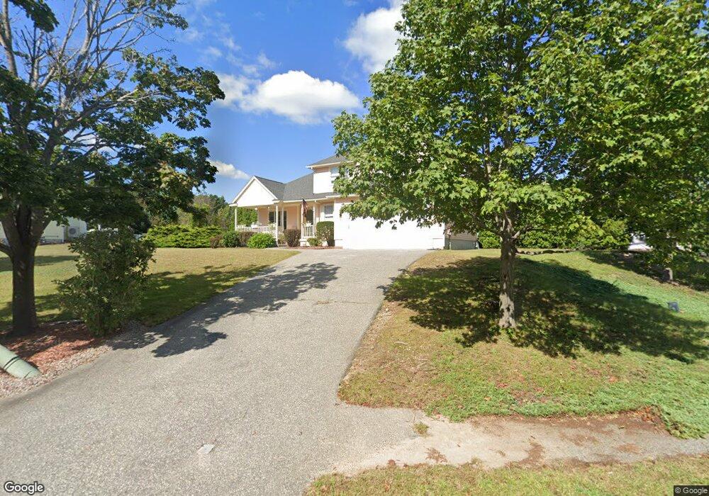
18 Blueberry Ln Wilmington, MA 01887
Estimated Value: $956,120 - $1,258,000
3
Beds
3
Baths
2,391
Sq Ft
$453/Sq Ft
Est. Value
About This Home
This home is located at 18 Blueberry Ln, Wilmington, MA 01887 and is currently estimated at $1,083,780, approximately $453 per square foot. 18 Blueberry Ln is a home located in Middlesex County with nearby schools including Wilmington Middle School, Wilmington High School, and The Pike School.
Ownership History
Date
Name
Owned For
Owner Type
Purchase Details
Closed on
Nov 19, 2009
Sold by
Tomasi Anthony L
Bought by
Tomasi-Jepson Brenda G
Current Estimated Value
Purchase Details
Closed on
Nov 29, 1995
Sold by
Whit Elm Inc
Bought by
Tomasi Antony
Home Financials for this Owner
Home Financials are based on the most recent Mortgage that was taken out on this home.
Original Mortgage
$175,000
Interest Rate
7.37%
Mortgage Type
Purchase Money Mortgage
Create a Home Valuation Report for This Property
The Home Valuation Report is an in-depth analysis detailing your home's value as well as a comparison with similar homes in the area
Home Values in the Area
Average Home Value in this Area
Purchase History
| Date | Buyer | Sale Price | Title Company |
|---|---|---|---|
| Tomasi-Jepson Brenda G | -- | -- | |
| Tomasi Antony | $245,000 | -- |
Source: Public Records
Mortgage History
| Date | Status | Borrower | Loan Amount |
|---|---|---|---|
| Previous Owner | Tomasi Antony | $170,000 | |
| Previous Owner | Tomasi Antony | $175,000 |
Source: Public Records
Tax History Compared to Growth
Tax History
| Year | Tax Paid | Tax Assessment Tax Assessment Total Assessment is a certain percentage of the fair market value that is determined by local assessors to be the total taxable value of land and additions on the property. | Land | Improvement |
|---|---|---|---|---|
| 2025 | $10,091 | $881,300 | $336,600 | $544,700 |
| 2024 | $9,509 | $831,900 | $336,600 | $495,300 |
| 2023 | $9,090 | $761,300 | $285,700 | $475,600 |
| 2022 | $8,591 | $659,300 | $238,000 | $421,300 |
| 2021 | $8,426 | $608,800 | $216,300 | $392,500 |
| 2020 | $8,547 | $629,400 | $216,300 | $413,100 |
| 2019 | $8,399 | $610,800 | $211,500 | $399,300 |
| 2018 | $8,290 | $575,300 | $201,500 | $373,800 |
| 2017 | $7,878 | $545,200 | $201,500 | $343,700 |
| 2016 | $7,628 | $521,400 | $191,900 | $329,500 |
| 2015 | $7,301 | $508,100 | $191,900 | $316,200 |
| 2014 | $6,862 | $481,900 | $182,900 | $299,000 |
Source: Public Records
Map
Nearby Homes
- 398 Andover St
- 23 Pomeroy Rd
- 2 Clover Cir
- B1 Colonial Dr Unit 8
- 12 Taylor Cove Dr Unit 6
- 13 Taylor Cove Dr Unit 13
- 497 S Main St
- 30A Colonial Dr Unit 6
- 10 Voke St
- 4 Porter Rd
- 20 Colonial Dr Unit 3
- 300 Martins Landing Unit 107
- 250 Martins Landing Unit 213
- 9 Marie Dr
- 24 Enfield Dr
- 260 Martins Landing Unit 103
- 240 Martins Landing Unit 409
- 240 Martins Landing Unit 201
- 260 Martins Landing Unit 508
- Lincoln Plan at Martins Landing
- 6 Ashwood Ave
- 16 Blueberry Ln
- 20 Blueberry Ln
- 18 Dogwood Ln Unit 1801
- 4 Ashwood Ave
- 19 Blueberry Ln
- 17 Blueberry Ln
- 15 Blueberry Ln
- 2 Dogwood Ln
- 2 Dogwood Ln
- 21 Blueberry Ln
- 394 Andover St
- 14 Blueberry Ln
- 392 Andover St
- 10 Ashwood Ave
- 390 Andover St
- 11 Blueberry Ln
- 12 Ashwood Ave
- 12 Blueberry Ln
- 14 Ashwood Ave