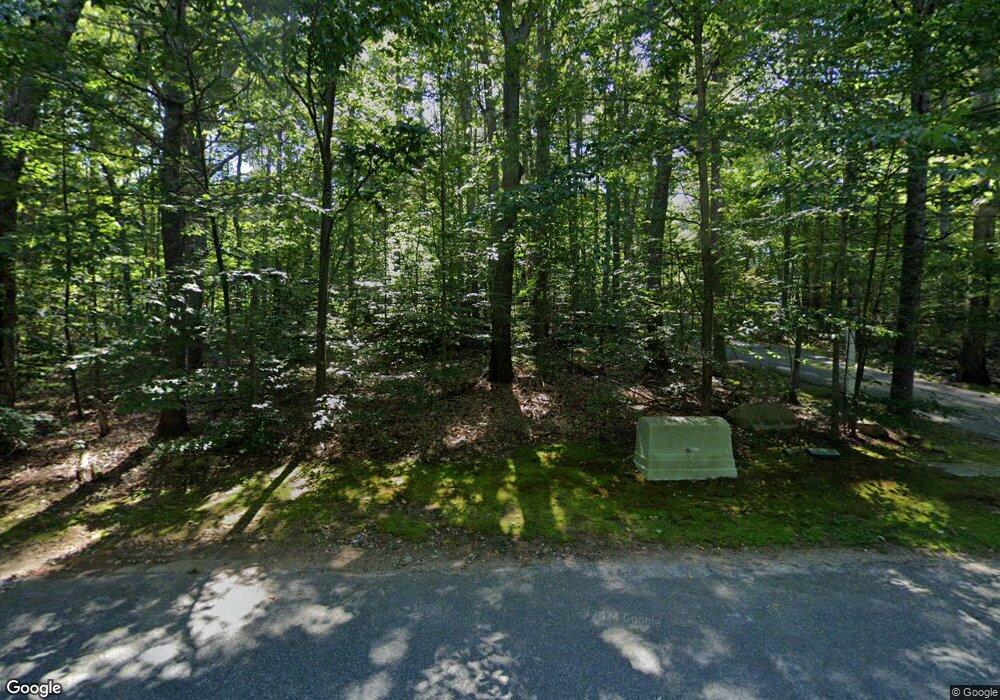
18 Bogastow Brook Rd Sherborn, MA 01770
Estimated Value: $1,404,000 - $1,650,000
4
Beds
3
Baths
3,365
Sq Ft
$449/Sq Ft
Est. Value
About This Home
This home is located at 18 Bogastow Brook Rd, Sherborn, MA 01770 and is currently estimated at $1,509,931, approximately $448 per square foot. 18 Bogastow Brook Rd is a home located in Middlesex County with nearby schools including Pine Hill Elementary School, Dover-Sherborn Regional Middle School, and Dover-Sherborn Regional High School.
Ownership History
Date
Name
Owned For
Owner Type
Purchase Details
Closed on
Oct 7, 1994
Sold by
Parkin Ann
Bought by
Tenney Charles H and Tenney Constance C
Current Estimated Value
Create a Home Valuation Report for This Property
The Home Valuation Report is an in-depth analysis detailing your home's value as well as a comparison with similar homes in the area
Home Values in the Area
Average Home Value in this Area
Purchase History
| Date | Buyer | Sale Price | Title Company |
|---|---|---|---|
| Tenney Charles H | $287,500 | -- |
Source: Public Records
Mortgage History
| Date | Status | Borrower | Loan Amount |
|---|---|---|---|
| Open | Tenney Charles H | $100,000 | |
| Open | Tenney Charles H | $182,000 | |
| Closed | Tenney Charles H | $75,000 | |
| Closed | Tenney Charles H | $205,000 |
Source: Public Records
Tax History Compared to Growth
Tax History
| Year | Tax Paid | Tax Assessment Tax Assessment Total Assessment is a certain percentage of the fair market value that is determined by local assessors to be the total taxable value of land and additions on the property. | Land | Improvement |
|---|---|---|---|---|
| 2025 | $21,736 | $1,311,000 | $578,400 | $732,600 |
| 2024 | $21,606 | $1,274,700 | $558,800 | $715,900 |
| 2023 | $21,437 | $1,190,300 | $558,800 | $631,500 |
| 2022 | $20,794 | $1,092,700 | $536,000 | $556,700 |
| 2021 | $21,253 | $1,082,700 | $536,000 | $546,700 |
| 2020 | $19,771 | $1,016,000 | $536,000 | $480,000 |
| 2019 | $339 | $980,700 | $536,000 | $444,700 |
| 2018 | $18,928 | $980,700 | $536,000 | $444,700 |
| 2017 | $18,909 | $924,200 | $536,000 | $388,200 |
| 2016 | $18,326 | $890,900 | $509,900 | $381,000 |
| 2015 | $17,526 | $862,500 | $483,700 | $378,800 |
| 2014 | $16,964 | $834,000 | $464,100 | $369,900 |
Source: Public Records
Map
Nearby Homes
- 21 Spywood Rd
- 27 Spywood Rd
- 84 Middlesex St
- 2 Towne Lyne Rd
- 54 Spywood Rd
- 50 Walnut St
- 6 Rivendell Ln
- 38 Bullard St
- 00000 S Main St and Bullard St
- 121 Bullard St
- 30 Powderhorn Ln
- 20 Nason Hill Rd
- 9 Bogastow Cir
- 20 Lansing Way Unit 20
- 18 Lansing Way Unit 18
- 6 Glen Ellen Blvd Unit 6
- 210 Causeway St
- 220 S Main St
- 73 Orchard St
- 27 Richardson Dr Unit 27
- 14 Bogastow Brook Rd
- 20 Bogastow Brook Rd
- 153 Nason Hill Rd
- 153 Nason Hill Rd Unit 1
- 159 Nason Hill Rd
- 24 Bogastow Brook Rd
- 40 Bogastow Brook Rd
- 30 Bogastow Brook Rd
- 287 Ridge St
- 0 (Lot 2) 156 Nason Hill Rd Unit 73031027
- 162 Nason Hill Rd
- 166 Nason Hill Rd
- Lot 1A Bogastow Brook Rd
- Lot 1B Bogastow Brook Rd
- 145 Nason Hill Rd
- 160 Nason Hill Rd
- (Lot 2) 156 Nason Hill Rd
- 279 Ridge St
- 31 Bogastow Brook Rd
- 10 Spywood Rd
