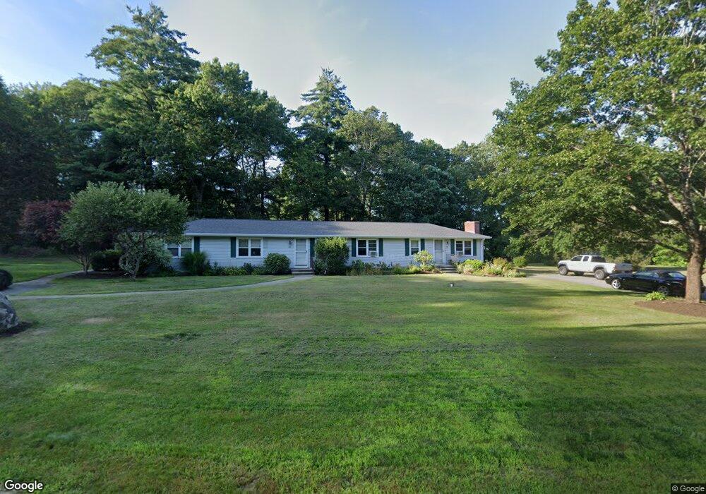
18 Brander Rd Rehoboth, MA 02769
Estimated Value: $542,551 - $681,000
6
Beds
2
Baths
1,968
Sq Ft
$313/Sq Ft
Est. Value
About This Home
This home is located at 18 Brander Rd, Rehoboth, MA 02769 and is currently estimated at $615,138, approximately $312 per square foot. 18 Brander Rd is a home located in Bristol County with nearby schools including Dighton-Rehoboth Regional High School, Grace Baptist Christian Academy, and The Pinecroft School.
Ownership History
Date
Name
Owned For
Owner Type
Purchase Details
Closed on
Apr 7, 2000
Sold by
Household Finance Corp
Bought by
Dorrance Timothy M and Dorrance Donna C
Current Estimated Value
Purchase Details
Closed on
Aug 20, 1999
Sold by
Owens James E
Bought by
Household Fiance Corp
Create a Home Valuation Report for This Property
The Home Valuation Report is an in-depth analysis detailing your home's value as well as a comparison with similar homes in the area
Home Values in the Area
Average Home Value in this Area
Purchase History
| Date | Buyer | Sale Price | Title Company |
|---|---|---|---|
| Dorrance Timothy M | $125,000 | -- | |
| Household Fiance Corp | $20,000 | -- |
Source: Public Records
Mortgage History
| Date | Status | Borrower | Loan Amount |
|---|---|---|---|
| Previous Owner | Household Fiance Corp | $34,998 | |
| Previous Owner | Household Fiance Corp | $118,000 |
Source: Public Records
Tax History
| Year | Tax Paid | Tax Assessment Tax Assessment Total Assessment is a certain percentage of the fair market value that is determined by local assessors to be the total taxable value of land and additions on the property. | Land | Improvement |
|---|---|---|---|---|
| 2025 | $52 | $463,200 | $173,300 | $289,900 |
| 2024 | $4,475 | $393,900 | $173,300 | $220,600 |
| 2023 | $4,706 | $398,700 | $169,700 | $229,000 |
| 2022 | $4,706 | $371,400 | $169,700 | $201,700 |
| 2021 | $4,617 | $348,700 | $161,900 | $186,800 |
| 2020 | $4,575 | $348,700 | $161,900 | $186,800 |
| 2018 | $3,724 | $311,100 | $154,100 | $157,000 |
| 2017 | $3,720 | $296,200 | $154,100 | $142,100 |
| 2016 | $3,599 | $296,200 | $154,100 | $142,100 |
| 2015 | $3,609 | $293,200 | $146,900 | $146,300 |
| 2014 | $3,461 | $278,200 | $139,700 | $138,500 |
Source: Public Records
Map
Nearby Homes
- 40 Duffy Dr
- 49 Teaberry Ln
- 240 Smith St
- 23 Stockade Cir
- 8 Kasmira Way
- 1 Round Farm Rd
- 48 Round Farm Rd
- 52 Round Farm Rd
- 27 Coleman Ave
- 58 Peck St
- 43 Starr Ln
- 20 Mine Brook Rd
- 827 Pike Ave
- 3 Wilmarth St
- 1336 Park St
- 71 Agricultural Ave
- 154 Fairview Ave
- 366 & 0 Pike Ave
- 438 Tremont St
- 127 John Scott Blvd
- Lot#16 Round Farm Rd
- 15 Brander Rd
- 9 King Philip Dr
- 19 Brander Rd
- 11 Brander Rd
- 10 Brander Rd
- 0 Fran Lee Dr Unit 70900691
- 8 Slater St
- 8 King Philip Dr
- 14 Wright St
- 21 King Phillip Dr
- 12 King Phillip Dr
- 12 King Philip Dr
- 9 Brander Rd
- 4 King Phillip Dr
- 16 Slater St
- 16 Slater St
- 15 Wright St
- 4 Slater St
- 11 Wright St
Your Personal Tour Guide
Ask me questions while you tour the home.