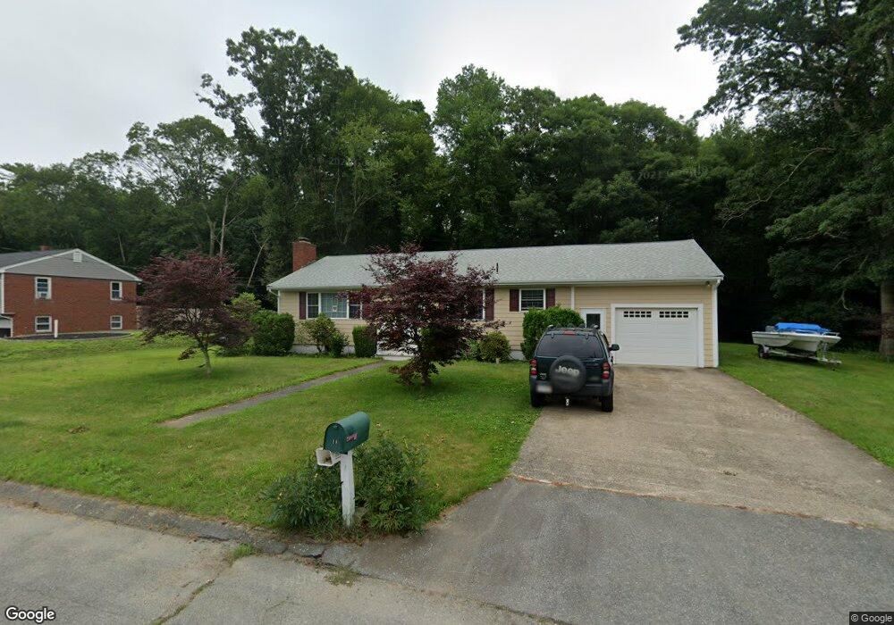
18 Brookside Dr Acushnet, MA 02743
Estimated Value: $504,557 - $578,000
3
Beds
1
Bath
1,068
Sq Ft
$520/Sq Ft
Est. Value
About This Home
This home is located at 18 Brookside Dr, Acushnet, MA 02743 and is currently estimated at $555,639, approximately $520 per square foot. 18 Brookside Dr is a home located in Bristol County with nearby schools including Acushnet Elementary School, Albert F Ford Middle School, and Alma Del Mar Charter School.
Ownership History
Date
Name
Owned For
Owner Type
Purchase Details
Closed on
Mar 30, 2015
Sold by
Daniels Roger A and Daniels Phyllis A
Bought by
Daniels Ft and Daniels
Current Estimated Value
Purchase Details
Closed on
Dec 8, 2006
Sold by
Medeiros Lucille C and Medeiros Robert J
Bought by
Daniels Phyllis A and Daniels Roger A
Home Financials for this Owner
Home Financials are based on the most recent Mortgage that was taken out on this home.
Original Mortgage
$254,000
Interest Rate
6.4%
Mortgage Type
Purchase Money Mortgage
Create a Home Valuation Report for This Property
The Home Valuation Report is an in-depth analysis detailing your home's value as well as a comparison with similar homes in the area
Purchase History
| Date | Buyer | Sale Price | Title Company |
|---|---|---|---|
| Daniels Ft | -- | -- | |
| Daniels Phyllis A | $317,500 | -- |
Source: Public Records
Mortgage History
| Date | Status | Borrower | Loan Amount |
|---|---|---|---|
| Previous Owner | Daniels Phyllis A | $254,000 |
Source: Public Records
Tax History
| Year | Tax Paid | Tax Assessment Tax Assessment Total Assessment is a certain percentage of the fair market value that is determined by local assessors to be the total taxable value of land and additions on the property. | Land | Improvement |
|---|---|---|---|---|
| 2025 | $40 | $374,300 | $122,400 | $251,900 |
| 2024 | $3,932 | $344,600 | $115,700 | $228,900 |
| 2023 | $3,756 | $313,000 | $100,200 | $212,800 |
| 2022 | $3,753 | $282,800 | $95,700 | $187,100 |
| 2021 | $3,625 | $262,100 | $95,700 | $166,400 |
| 2020 | $3,633 | $260,600 | $95,700 | $164,900 |
| 2019 | $3,576 | $252,200 | $97,900 | $154,300 |
| 2018 | $3,464 | $240,200 | $97,900 | $142,300 |
| 2017 | $3,353 | $232,200 | $97,900 | $134,300 |
| 2016 | $3,194 | $219,800 | $91,300 | $128,500 |
| 2015 | $3,030 | $212,200 | $91,300 | $120,900 |
Source: Public Records
Map
Nearby Homes
- 20 Brookside Dr
- 17 Brookside Dr
- 9 Mapleton St
- 15 Brookside Dr
- 14 Brookside Dr
- 18 Green Meadow Dr
- 10 Mapleton St
- 20 Green Meadow Dr
- 13 Brookside Dr
- 16 Green Meadow Dr
- 12 Brookside Dr
- 8 Mapleton St
- 14 Green Meadow Dr
- 17 Green Meadow Dr
- 11 Brookside Dr
- 19 Green Meadow Dr
- 15 Green Meadow Dr
- 6 Mapleton St
- 12 Green Meadow Dr
- 9 Brookside Dr
Your Personal Tour Guide
Ask me questions while you tour the home.