18 Brookstone Ct Lutherville Timonium, MD 21093
Falls Road Corridor NeighborhoodEstimated Value: $889,000 - $1,212,000
--
Bed
5
Baths
4,640
Sq Ft
$227/Sq Ft
Est. Value
About This Home
This home is located at 18 Brookstone Ct, Lutherville Timonium, MD 21093 and is currently estimated at $1,053,998, approximately $227 per square foot. 18 Brookstone Ct is a home located in Baltimore County with nearby schools including Mays Chapel Elementary School, Ridgely Middle, and Dulaney High School.
Ownership History
Date
Name
Owned For
Owner Type
Purchase Details
Closed on
Oct 26, 2004
Sold by
Schwab William B
Bought by
Poggi Stephen L
Current Estimated Value
Purchase Details
Closed on
Mar 25, 2004
Sold by
Quill Elizabeth Ann
Bought by
Schwab William B and Jones Chris M
Purchase Details
Closed on
Dec 17, 2002
Sold by
Desharick Inc
Bought by
Quill Elizabeth Ann
Purchase Details
Closed on
Jan 18, 2000
Sold by
Trivas Stephanie White
Bought by
Desharick Inc
Create a Home Valuation Report for This Property
The Home Valuation Report is an in-depth analysis detailing your home's value as well as a comparison with similar homes in the area
Home Values in the Area
Average Home Value in this Area
Purchase History
| Date | Buyer | Sale Price | Title Company |
|---|---|---|---|
| Poggi Stephen L | $625,000 | -- | |
| Schwab William B | $501,000 | -- | |
| Schwab William B | $501,000 | -- | |
| Quill Elizabeth Ann | $543,000 | -- | |
| Desharick Inc | $75,000 | -- |
Source: Public Records
Tax History Compared to Growth
Tax History
| Year | Tax Paid | Tax Assessment Tax Assessment Total Assessment is a certain percentage of the fair market value that is determined by local assessors to be the total taxable value of land and additions on the property. | Land | Improvement |
|---|---|---|---|---|
| 2025 | $10,142 | $262,600 | $262,500 | $100 |
| 2024 | $10,142 | $835,667 | $0 | $0 |
| 2023 | $5,061 | $830,233 | $0 | $0 |
| 2022 | $9,966 | $824,800 | $262,500 | $562,300 |
| 2021 | $9,975 | $821,433 | $0 | $0 |
| 2020 | $9,975 | $818,067 | $0 | $0 |
| 2019 | $9,934 | $814,700 | $262,500 | $552,200 |
| 2018 | $9,691 | $794,633 | $0 | $0 |
| 2017 | $9,363 | $774,567 | $0 | $0 |
| 2016 | $9,335 | $754,500 | $0 | $0 |
| 2015 | $9,335 | $754,500 | $0 | $0 |
| 2014 | $9,335 | $754,500 | $0 | $0 |
Source: Public Records
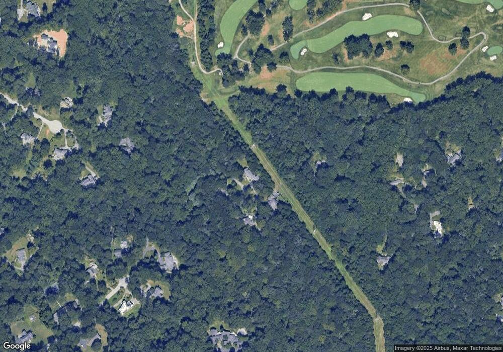
Map
Nearby Homes
- 1011 Coachford Ct
- 8555 Hill Spring Dr
- 4 Nearfield Rd
- 11817 Sherbourne Dr
- 1208 Scotts Knoll Ct
- 8531 Hill Spring Dr
- 28 Alderman Ct
- 6 Tenby Ct
- 12 Sawgrass Ct
- 608 Budleigh Cir
- 1134 Castanea Ct
- 38 Tudor Ct
- 8607 Country Brooke Way
- 640 Lavenham Ct
- 6 Ballindine Ct Unit 101
- 6 Faraday Dr
- 783 Leister Dr
- 9 Trelawny Ct
- 24 Merrion Ct
- 1242 Clearfield Cir
- 16 Brookstone Ct
- 21 Brookstone Ct
- 19 Brookstone Ct
- 830 Bomont Rd
- 17 Brookstone Ct
- 14 Wyndam Ct
- 802 Bomont Rd
- 14 Brookstone Ct
- 15 Brookstone Ct
- 13 Wyndam Ct
- 805 Bomont Rd
- 12 Wyndam Ct
- 16 Woodward Ln
- 1207 Volpe Ct
- 1209 Volpe Ct
- 1203 Volpe Ct
- 803 Bomont Rd
- 800 Bomont Rd
- 13 Brookstone Ct
- 12 Brookstone Ct