18 Brown Rd Wiscasset, ME 04578
Estimated Value: $431,000 - $631,000
3
Beds
3
Baths
1,690
Sq Ft
$304/Sq Ft
Est. Value
About This Home
This home is located at 18 Brown Rd, Wiscasset, ME 04578 and is currently estimated at $514,105, approximately $304 per square foot. 18 Brown Rd is a home located in Lincoln County with nearby schools including Sheepscot Valley Children's House, Wiscasset Christian Academy, and Center for Teaching & Learning.
Ownership History
Date
Name
Owned For
Owner Type
Purchase Details
Closed on
Aug 18, 2006
Sold by
Guest Shawn M and Guest Pamela
Bought by
Wallace Stephen P and Wallace Deborah
Current Estimated Value
Purchase Details
Closed on
Jul 1, 2005
Sold by
Simpson Teresa M
Bought by
Guest Shawn M and Guest Pamela
Home Financials for this Owner
Home Financials are based on the most recent Mortgage that was taken out on this home.
Original Mortgage
$28,000
Interest Rate
5.73%
Mortgage Type
Purchase Money Mortgage
Create a Home Valuation Report for This Property
The Home Valuation Report is an in-depth analysis detailing your home's value as well as a comparison with similar homes in the area
Home Values in the Area
Average Home Value in this Area
Purchase History
| Date | Buyer | Sale Price | Title Company |
|---|---|---|---|
| Wallace Stephen P | -- | -- | |
| Guest Shawn M | -- | -- |
Source: Public Records
Mortgage History
| Date | Status | Borrower | Loan Amount |
|---|---|---|---|
| Previous Owner | Guest Shawn M | $28,000 |
Source: Public Records
Tax History Compared to Growth
Tax History
| Year | Tax Paid | Tax Assessment Tax Assessment Total Assessment is a certain percentage of the fair market value that is determined by local assessors to be the total taxable value of land and additions on the property. | Land | Improvement |
|---|---|---|---|---|
| 2024 | $4,659 | $262,200 | $54,800 | $207,400 |
| 2023 | $4,471 | $262,200 | $54,800 | $207,400 |
| 2022 | $4,213 | $209,800 | $43,900 | $165,900 |
| 2021 | $4,221 | $209,800 | $43,900 | $165,900 |
| 2020 | $4,215 | $209,500 | $43,900 | $165,600 |
| 2019 | $4,169 | $209,500 | $43,900 | $165,600 |
| 2018 | $4,096 | $209,500 | $43,900 | $165,600 |
| 2017 | $3,930 | $209,500 | $43,900 | $165,600 |
| 2016 | $3,920 | $209,500 | $43,900 | $165,600 |
| 2015 | $3,436 | $209,500 | $43,900 | $165,600 |
| 2014 | $3,562 | $209,500 | $43,900 | $165,600 |
| 2013 | $3,394 | $209,500 | $43,900 | $165,600 |
Source: Public Records
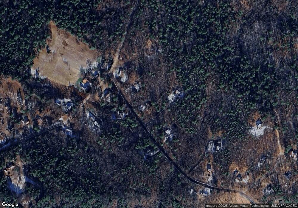
Map
Nearby Homes
- 105 Old Sheepscot Rd
- R05-58A W Alna Rd
- Lot # 0 Deer Ridge Rd
- Lot#4 Bay View Trail
- 977 Alna Rd
- Lot #3 Bay View Trail
- 8 Foye Rd
- 10 Foye Rd
- 3 Langdon Rd
- 48 Us Route 1
- 22 Sand Hill Rd
- 306 Eddy Rd Unit 310
- 306 Eddy Rd Unit 307
- 306 Eddy Rd Unit 309
- 11 Island Ln Unit 1
- 304 Eddy Rd Unit 216
- 200 Main St
- 18 High St
- 18 Churchill St
- 67 Village Way Unit 505
- 8 Brown Rd
- 15 Brown Rd
- Lot 10 Brown Rd
- 26 Brown Rd
- 125 Old Sheepscot Rd
- 30 Brown Rd
- 0 Brown Rd
- 139 Old Sheepscot Rd
- 138 Old Sheepscot Rd
- 33 Brown Rd
- Lot 3 Old Sheepscot Rd
- 122 Old Sheepscot Rd
- 111 Old Sheepscot Rd
- 110 Old Sheepscot Rd
- 62 Brown Rd
- 74 Old Sheepscot Rd
- 63 Brown Rd
- 72 Brown Rd
- 157 Old Sheepscot Rd
- 98 Old Sheepscot Rd