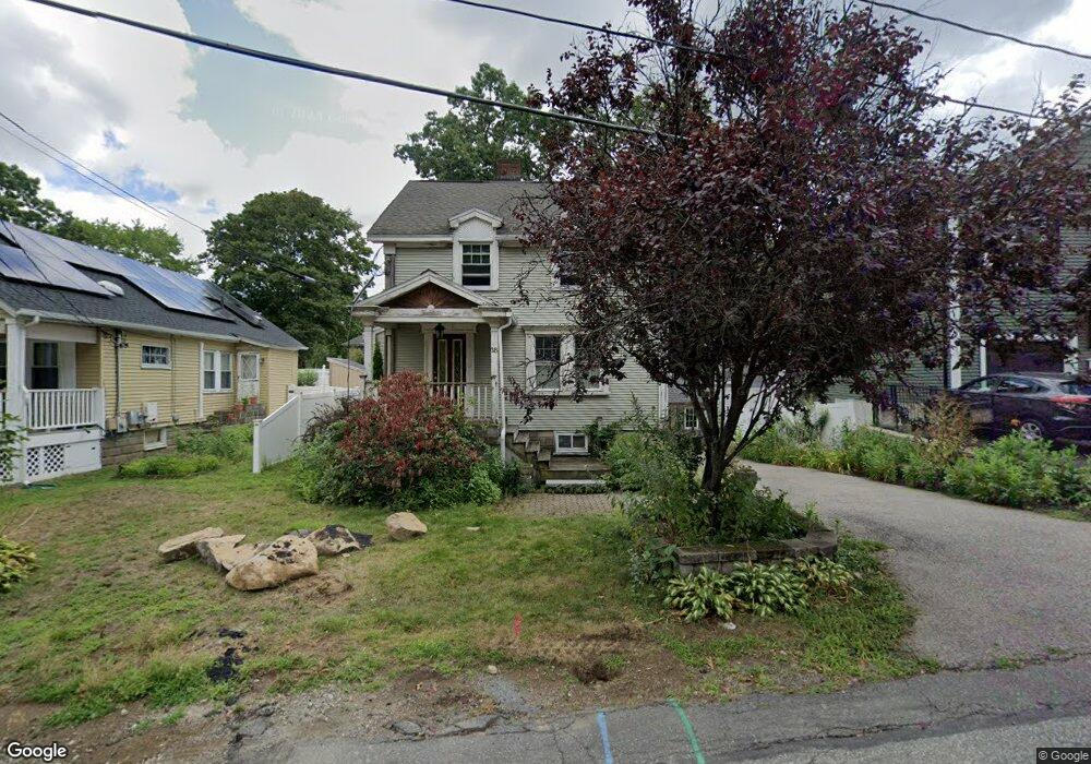
18 Bryant Rd Waltham, MA 02451
Highlands NeighborhoodEstimated Value: $730,000 - $1,239,000
3
Beds
3
Baths
2,432
Sq Ft
$428/Sq Ft
Est. Value
About This Home
This home is located at 18 Bryant Rd, Waltham, MA 02451 and is currently estimated at $1,040,778, approximately $427 per square foot. 18 Bryant Rd is a home located in Middlesex County with nearby schools including Thomas R Plympton Elementary School, John F Kennedy Middle School, and Waltham Sr High School.
Ownership History
Date
Name
Owned For
Owner Type
Purchase Details
Closed on
Sep 26, 2025
Sold by
Daley Gretchen A
Bought by
Lucas Gretchen A and Daley Brian J
Current Estimated Value
Purchase Details
Closed on
Apr 26, 2007
Sold by
Deutsche Bank Natl T C
Bought by
Lucas Gretchen A
Home Financials for this Owner
Home Financials are based on the most recent Mortgage that was taken out on this home.
Original Mortgage
$300,000
Interest Rate
6.18%
Mortgage Type
Purchase Money Mortgage
Purchase Details
Closed on
Sep 27, 2006
Sold by
Kiddu Henry W and Morgan Stanley Abs
Bought by
Deutsche Bk Natl T Co and Morgan Stanley Abs
Purchase Details
Closed on
Nov 25, 2002
Sold by
Specter Frances B Est and Specter
Bought by
Kiddu Henry W
Home Financials for this Owner
Home Financials are based on the most recent Mortgage that was taken out on this home.
Original Mortgage
$220,000
Interest Rate
6.07%
Mortgage Type
Purchase Money Mortgage
Create a Home Valuation Report for This Property
The Home Valuation Report is an in-depth analysis detailing your home's value as well as a comparison with similar homes in the area
Home Values in the Area
Average Home Value in this Area
Purchase History
| Date | Buyer | Sale Price | Title Company |
|---|---|---|---|
| Lucas Gretchen A | -- | -- | |
| Lucas Gretchen A | $350,000 | -- | |
| Lucas Gretchen A | $350,000 | -- | |
| Deutsche Bk Natl T Co | $346,500 | -- | |
| Deutsche Bk Natl T Co | $346,500 | -- | |
| Kiddu Henry W | $275,000 | -- | |
| Kiddu Henry W | $275,000 | -- |
Source: Public Records
Mortgage History
| Date | Status | Borrower | Loan Amount |
|---|---|---|---|
| Previous Owner | Lucas Gretchen A | $300,000 | |
| Previous Owner | Kiddu Henry W | $220,000 |
Source: Public Records
Tax History
| Year | Tax Paid | Tax Assessment Tax Assessment Total Assessment is a certain percentage of the fair market value that is determined by local assessors to be the total taxable value of land and additions on the property. | Land | Improvement |
|---|---|---|---|---|
| 2025 | $10,855 | $1,105,400 | $378,000 | $727,400 |
| 2024 | $7,128 | $739,400 | $378,000 | $361,400 |
| 2023 | $6,506 | $630,400 | $343,000 | $287,400 |
| 2022 | $5,988 | $537,500 | $322,000 | $215,500 |
| 2021 | $5,650 | $499,100 | $294,000 | $205,100 |
| 2020 | $5,441 | $455,300 | $266,100 | $189,200 |
| 2019 | $5,362 | $423,500 | $266,100 | $157,400 |
| 2018 | $4,891 | $387,900 | $246,400 | $141,500 |
| 2017 | $4,591 | $365,500 | $224,000 | $141,500 |
| 2016 | $4,388 | $358,500 | $217,000 | $141,500 |
| 2015 | $4,378 | $333,400 | $203,000 | $130,400 |
Source: Public Records
Map
Nearby Homes
- 28 Galen St
- 69 Jennings Rd
- 14 Willard St
- 43-45 Wellington St Unit 3
- 50 Hammond St
- 103-105 Columbus Ave
- 291-293 School St
- 15 Howard St
- 31 Weston St Unit 2
- 19 Everett St Unit 2
- 50 Worcester Ln
- 32 Vernon St
- 54-56 South St
- 41 Auburn St
- 39 Floyd St Unit 2
- 74 Harvard St
- 7 Pearl St
- 16 Winter St Unit 26C
- 49 Lincoln St
- 12 Curve St
Your Personal Tour Guide
Ask me questions while you tour the home.