18 Burgess Point Rd Wareham, MA 02571
Estimated Value: $514,000 - $572,000
2
Beds
1
Bath
859
Sq Ft
$627/Sq Ft
Est. Value
About This Home
This home is located at 18 Burgess Point Rd, Wareham, MA 02571 and is currently estimated at $538,979, approximately $627 per square foot. 18 Burgess Point Rd is a home located in Plymouth County.
Ownership History
Date
Name
Owned For
Owner Type
Purchase Details
Closed on
Jan 26, 2023
Sold by
Rhodes Christene M
Bought by
Rhodes Christene M and Breese Lisa B
Current Estimated Value
Purchase Details
Closed on
May 8, 2000
Sold by
Clougherty James Est
Bought by
Rhodes Christene M
Create a Home Valuation Report for This Property
The Home Valuation Report is an in-depth analysis detailing your home's value as well as a comparison with similar homes in the area
Home Values in the Area
Average Home Value in this Area
Purchase History
| Date | Buyer | Sale Price | Title Company |
|---|---|---|---|
| Rhodes Christene M | -- | None Available | |
| Rhodes Christene M | -- | None Available | |
| Rhodes Christene M | $150,000 | -- | |
| Rhodes Christene M | $150,000 | -- |
Source: Public Records
Mortgage History
| Date | Status | Borrower | Loan Amount |
|---|---|---|---|
| Previous Owner | Rhodes Christene M | $141,500 | |
| Previous Owner | Rhodes Christene M | $147,500 | |
| Previous Owner | Rhodes Christene M | $157,000 |
Source: Public Records
Tax History Compared to Growth
Tax History
| Year | Tax Paid | Tax Assessment Tax Assessment Total Assessment is a certain percentage of the fair market value that is determined by local assessors to be the total taxable value of land and additions on the property. | Land | Improvement |
|---|---|---|---|---|
| 2025 | $4,759 | $456,700 | $214,000 | $242,700 |
| 2024 | $4,489 | $399,700 | $156,900 | $242,800 |
| 2023 | $319 | $358,400 | $142,700 | $215,700 |
| 2022 | $319 | $316,100 | $142,700 | $173,400 |
| 2021 | $4,145 | $308,200 | $142,700 | $165,500 |
| 2020 | $3,912 | $295,000 | $142,700 | $152,300 |
| 2019 | $3,761 | $283,000 | $148,900 | $134,100 |
| 2018 | $3,630 | $266,300 | $148,900 | $117,400 |
| 2017 | $3,420 | $254,300 | $148,900 | $105,400 |
| 2016 | $3,327 | $245,900 | $154,800 | $91,100 |
| 2015 | $3,467 | $265,300 | $174,200 | $91,100 |
| 2014 | $3,418 | $266,000 | $174,200 | $91,800 |
Source: Public Records
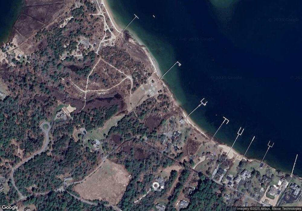
Map
Nearby Homes
- 200 Great Neck Rd
- 46 Winship Ave
- 8 Over Jordan Rd
- 14 Over Jordan Rd
- 10 Over Jordan Rd
- 6 Beacon St Unit 79
- 65 Great Neck Rd
- 45 Kins Ct
- 46 Kins Ct
- 38 Amos Way
- 17 5th St
- 8 Beacon St Unit 80
- 52 Starboard Dr Unit 36H
- 10 Beacon St Unit 83
- 9 10th St
- 26 Highland Ave
- 12 Grove St
- 12 Beacon St Unit 84
- 17 Carleton St Unit 17
- 35 Locust St
- 16 Winship Ave
- Lot 2 Burgess Pt Shores
- Lot 8 Burgess Point Shores
- Lot 2 Burgess Point Shores
- Lot 4 Burgess Point Shores
- 6 Burgess Point Shores
- 0 Burgess Point Shores
- Lot 1 Burgess Point Shores
- Lot 5 Burgess Point Shores
- Lot 6 Burgess Point Shores
- 11 Burgess Point Rd
- Lot 7 Burgess Point Shores
- 8 Burgess Point Shores
- 8 Burgess Point Rd
- 8 Burgess Point Rd
- 8 Burgess Point Shores Rd
- 7 Burgess Point Rd
- 4 Burgess Point Rd
- 30 Burgess Point Rd
- 36 Burgess Point Rd