18 Cannongate Rd Unit 73 Tyngsboro, MA 01879
Estimated Value: $350,000 - $376,000
3
Beds
2
Baths
1,514
Sq Ft
$242/Sq Ft
Est. Value
About This Home
This home is located at 18 Cannongate Rd Unit 73, Tyngsboro, MA 01879 and is currently estimated at $366,101, approximately $241 per square foot. 18 Cannongate Rd Unit 73 is a home located in Middlesex County with nearby schools including Tyngsborough Elementary School, Tyngsborough Middle School, and Tyngsborough High School.
Ownership History
Date
Name
Owned For
Owner Type
Purchase Details
Closed on
Mar 24, 2000
Sold by
Tucker Patrick T
Bought by
Pisani Tina L
Current Estimated Value
Home Financials for this Owner
Home Financials are based on the most recent Mortgage that was taken out on this home.
Original Mortgage
$90,650
Interest Rate
8.31%
Mortgage Type
Purchase Money Mortgage
Purchase Details
Closed on
Jun 30, 1993
Sold by
Sweeney David J and Sweeney Marueen
Bought by
Tucker Patrick
Home Financials for this Owner
Home Financials are based on the most recent Mortgage that was taken out on this home.
Original Mortgage
$57,600
Interest Rate
7.46%
Mortgage Type
Purchase Money Mortgage
Create a Home Valuation Report for This Property
The Home Valuation Report is an in-depth analysis detailing your home's value as well as a comparison with similar homes in the area
Home Values in the Area
Average Home Value in this Area
Purchase History
| Date | Buyer | Sale Price | Title Company |
|---|---|---|---|
| Pisani Tina L | $93,500 | -- | |
| Tucker Patrick | $64,000 | -- |
Source: Public Records
Mortgage History
| Date | Status | Borrower | Loan Amount |
|---|---|---|---|
| Open | Tucker Patrick | $114,000 | |
| Closed | Tucker Patrick | $91,700 | |
| Closed | Tucker Patrick | $90,650 | |
| Previous Owner | Tucker Patrick | $57,600 |
Source: Public Records
Tax History Compared to Growth
Tax History
| Year | Tax Paid | Tax Assessment Tax Assessment Total Assessment is a certain percentage of the fair market value that is determined by local assessors to be the total taxable value of land and additions on the property. | Land | Improvement |
|---|---|---|---|---|
| 2025 | $42 | $339,400 | $0 | $339,400 |
| 2024 | $3,958 | $311,200 | $0 | $311,200 |
| 2023 | $3,946 | $279,100 | $0 | $279,100 |
| 2022 | $3,242 | $217,000 | $0 | $217,000 |
| 2021 | $3,539 | $220,200 | $0 | $220,200 |
| 2020 | $3,411 | $209,900 | $0 | $209,900 |
| 2019 | $2,946 | $174,000 | $0 | $174,000 |
| 2018 | $2,710 | $158,400 | $0 | $158,400 |
| 2017 | $2,480 | $144,500 | $0 | $144,500 |
| 2016 | $2,430 | $138,400 | $0 | $138,400 |
| 2015 | $2,293 | $135,200 | $0 | $135,200 |
Source: Public Records
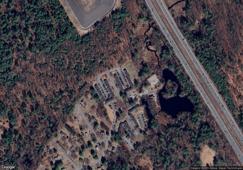
Map
Nearby Homes
- 7 Axletree Rd
- 45 Red Gate Rd
- 0 Dunstable Rd
- 250 Lowell St
- 10 Dickens Ln
- 46 Pawtucket Blvd Unit 37
- 44 Shakespeare St
- 24 Old Tyng Rd
- 0 Lowell St
- 12 Kestrel Ln Unit 7
- 295 Forest St
- 56 Frost Rd
- 28 Juniper Ln Unit 65
- 11 Juniper Ln Unit 14
- 32 Juniper Ln Unit 61
- 43 Juniper Ln Unit 30
- 30 Tamarack Way Unit 30
- 6 Caldwell Dr
- 22 Juniper Ln Unit 66
- 1 Patricia Dr
- 18 Cannongate Rd Unit 78
- 18 Cannongate Rd Unit 77
- 18 Cannongate Rd Unit 76
- 18 Cannongate Rd Unit 75
- 18 Cannongate Rd Unit 74
- 18 Cannongate Rd Unit 72
- 18 Cannongate Rd Unit 71
- 18 Cannongate Rd Unit 70
- 18 Cannongate Rd Unit 69
- 18 Cannongate Rd Unit 67
- 18 Cannongate Rd Unit 66
- 18 Cannongate Rd Unit 65
- 18 Cannongate Rd Unit 64
- 18 Cannongate Rd Unit 63
- 18 Cannongate Rd Unit 62
- 18 Cannongate Rd Unit 61
- 18 Cannongate Rd Unit 60
- 18 Cannongate Rd Unit 59
- 18 Cannongate Rd Unit 58
- 18 Cannongate Rd Unit 57