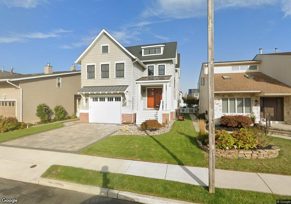
18 Caroline Ln Ocean City, NJ 08226
Estimated Value: $2,753,000 - $3,868,000
--
Bed
--
Bath
2,304
Sq Ft
$1,380/Sq Ft
Est. Value
About This Home
This home is located at 18 Caroline Ln, Ocean City, NJ 08226 and is currently estimated at $3,180,109, approximately $1,380 per square foot. 18 Caroline Ln is a home with nearby schools including Ocean City Primary School, Ocean City Intermediate School, and Ocean City High School.
Ownership History
Date
Name
Owned For
Owner Type
Purchase Details
Closed on
Nov 16, 2007
Sold by
Pedersen Carl R and Pedersen Cynthia L
Bought by
Dougherty Francis G and Dougherty Deborah L
Current Estimated Value
Home Financials for this Owner
Home Financials are based on the most recent Mortgage that was taken out on this home.
Original Mortgage
$965,000
Outstanding Balance
$613,708
Interest Rate
6.48%
Mortgage Type
Purchase Money Mortgage
Estimated Equity
$2,566,401
Purchase Details
Closed on
Aug 26, 2003
Sold by
Calhoun Charles W
Bought by
Pedersen Carl R and Pedersen Cynthia L
Home Financials for this Owner
Home Financials are based on the most recent Mortgage that was taken out on this home.
Original Mortgage
$1,160,000
Interest Rate
5.69%
Create a Home Valuation Report for This Property
The Home Valuation Report is an in-depth analysis detailing your home's value as well as a comparison with similar homes in the area
Home Values in the Area
Average Home Value in this Area
Purchase History
| Date | Buyer | Sale Price | Title Company |
|---|---|---|---|
| Dougherty Francis G | $1,250,000 | Freedom Title & Abstract Com | |
| Pedersen Carl R | $1,160,000 | -- |
Source: Public Records
Mortgage History
| Date | Status | Borrower | Loan Amount |
|---|---|---|---|
| Open | Dougherty Francis G | $965,000 | |
| Previous Owner | Pedersen Carl R | $1,160,000 |
Source: Public Records
Tax History Compared to Growth
Tax History
| Year | Tax Paid | Tax Assessment Tax Assessment Total Assessment is a certain percentage of the fair market value that is determined by local assessors to be the total taxable value of land and additions on the property. | Land | Improvement |
|---|---|---|---|---|
| 2025 | $21,278 | $1,896,400 | $680,400 | $1,216,000 |
| 2024 | $21,278 | $1,896,400 | $680,400 | $1,216,000 |
| 2023 | $20,310 | $1,896,400 | $680,400 | $1,216,000 |
| 2022 | $19,514 | $1,896,400 | $680,400 | $1,216,000 |
| 2021 | $14,109 | $1,891,300 | $680,400 | $1,210,900 |
| 2020 | $18,497 | $1,891,300 | $680,400 | $1,210,900 |
| 2019 | $18,289 | $1,891,300 | $680,400 | $1,210,900 |
| 2018 | $6,622 | $691,200 | $680,400 | $10,800 |
| 2017 | $6,518 | $691,200 | $680,400 | $10,800 |
| 2016 | $8,157 | $899,300 | $680,400 | $218,900 |
| 2015 | $8,049 | $899,300 | $680,400 | $218,900 |
| 2014 | $7,932 | $899,300 | $680,400 | $218,900 |
Source: Public Records
Map
Nearby Homes
- 20 Gilbert Ln
- 9 Coral Ln
- 4 Grenada Ln
- 2104 Bay Ave
- 2019 Glenwood Dr
- 31 Spruce Rd
- 1909 Rosemar Ln
- 100 Reef Dr
- 100 Reef Dr Unit 94
- 2316 Simpson Ave Unit 18
- 71 Spruce Rd
- 109 Easterly Dr Unit 130
- 6 Walnut Rd
- 38 Arkansas Ave
- 2044 Haven Ave
- 126 Wahoo Dr
- 2416 Haven Ave Unit 18
- 2303 West Unit 2
- 1906 Glenwood Dr
- 2120 Asbury Ave Unit 2120