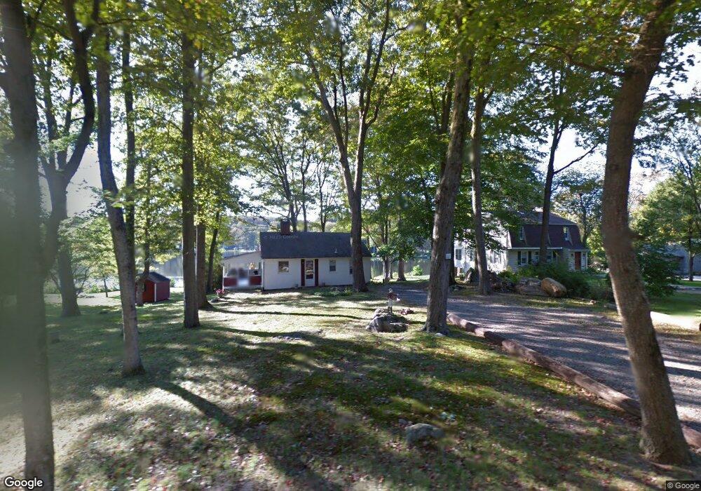
18 Catlin Rd Harwinton, CT 06791
Estimated Value: $356,415 - $451,000
2
Beds
1
Bath
780
Sq Ft
$513/Sq Ft
Est. Value
About This Home
This home is located at 18 Catlin Rd, Harwinton, CT 06791 and is currently estimated at $400,354, approximately $513 per square foot. 18 Catlin Rd is a home located in Litchfield County with nearby schools including Harwinton Consolidated School, Har-Bur Middle School, and Lewis S. Mills High School.
Ownership History
Date
Name
Owned For
Owner Type
Purchase Details
Closed on
Jun 24, 2014
Sold by
Nicosia Cynthia A
Bought by
Giordano Domenic M and Giordano Lisa C
Current Estimated Value
Purchase Details
Closed on
Jul 8, 1994
Sold by
Rose Lucy L
Bought by
Nicosia Cynthia A
Home Financials for this Owner
Home Financials are based on the most recent Mortgage that was taken out on this home.
Original Mortgage
$50,000
Interest Rate
8%
Mortgage Type
Unknown
Create a Home Valuation Report for This Property
The Home Valuation Report is an in-depth analysis detailing your home's value as well as a comparison with similar homes in the area
Home Values in the Area
Average Home Value in this Area
Purchase History
| Date | Buyer | Sale Price | Title Company |
|---|---|---|---|
| Giordano Domenic M | $215,000 | -- | |
| Giordano Domenic M | $215,000 | -- | |
| Nicosia Cynthia A | $128,000 | -- | |
| Nicosia Cynthia A | $128,000 | -- |
Source: Public Records
Mortgage History
| Date | Status | Borrower | Loan Amount |
|---|---|---|---|
| Previous Owner | Nicosia Cynthia A | $50,000 |
Source: Public Records
Tax History
| Year | Tax Paid | Tax Assessment Tax Assessment Total Assessment is a certain percentage of the fair market value that is determined by local assessors to be the total taxable value of land and additions on the property. | Land | Improvement |
|---|---|---|---|---|
| 2025 | $5,195 | $225,850 | $129,290 | $96,560 |
| 2024 | $5,172 | $225,850 | $129,290 | $96,560 |
| 2023 | $4,327 | $148,170 | $92,350 | $55,820 |
| 2022 | $4,223 | $148,170 | $92,350 | $55,820 |
| 2021 | $4,252 | $148,170 | $92,350 | $55,820 |
| 2020 | $4,149 | $148,170 | $92,350 | $55,820 |
| 2019 | $4,149 | $148,170 | $92,350 | $55,820 |
| 2018 | $3,936 | $140,570 | $94,770 | $45,800 |
| 2017 | $3,908 | $140,570 | $94,770 | $45,800 |
| 2016 | $3,908 | $140,570 | $94,770 | $45,800 |
| 2015 | $3,838 | $140,570 | $94,770 | $45,800 |
| 2014 | $3,781 | $140,570 | $94,770 | $45,800 |
Source: Public Records
Map
Nearby Homes
- 151 Highview Dr
- 164 Birge Park Rd
- 32 Ridgewood Dr
- 65 Oak Meadow Ln Unit 65
- 21 South Rd
- 323 Highfield Dr
- 14 Hannah Way
- 23 Hannah Way
- 111 Oxbow Dr
- 272 Edgewood Dr
- 146 Highfield Dr
- 0 Torringford St W
- 336 Oak Ave
- 238 Barton St
- 83 Birge St
- 660 Torringford St
- 340 Hillside Ave
- 175 Ramstein Rd
- 195 Torrington Heights Rd
- 544 Litchfield Rd
Your Personal Tour Guide
Ask me questions while you tour the home.