18 Central St Topsfield, MA 01983
Estimated Value: $758,000 - $903,000
3
Beds
1
Bath
1,200
Sq Ft
$683/Sq Ft
Est. Value
About This Home
This home is located at 18 Central St, Topsfield, MA 01983 and is currently estimated at $819,209, approximately $682 per square foot. 18 Central St is a home located in Essex County with nearby schools including Steward Elementary School, Proctor Elementary School, and Masconomet Regional Middle School.
Create a Home Valuation Report for This Property
The Home Valuation Report is an in-depth analysis detailing your home's value as well as a comparison with similar homes in the area
Home Values in the Area
Average Home Value in this Area
Tax History Compared to Growth
Tax History
| Year | Tax Paid | Tax Assessment Tax Assessment Total Assessment is a certain percentage of the fair market value that is determined by local assessors to be the total taxable value of land and additions on the property. | Land | Improvement |
|---|---|---|---|---|
| 2025 | $10,959 | $731,100 | $323,400 | $407,700 |
| 2024 | $10,740 | $731,100 | $323,400 | $407,700 |
| 2023 | $10,570 | $695,400 | $312,700 | $382,700 |
| 2022 | $9,769 | $586,700 | $312,700 | $274,000 |
| 2021 | $8,974 | $500,800 | $258,700 | $242,100 |
| 2020 | $8,724 | $500,800 | $258,700 | $242,100 |
| 2019 | $8,514 | $500,800 | $258,700 | $242,100 |
| 2018 | $8,520 | $490,800 | $258,700 | $232,100 |
| 2017 | $7,800 | $460,700 | $233,600 | $227,100 |
| 2016 | $7,431 | $449,800 | $219,200 | $230,600 |
| 2015 | $1,492 | $102,200 | $102,200 | $0 |
Source: Public Records
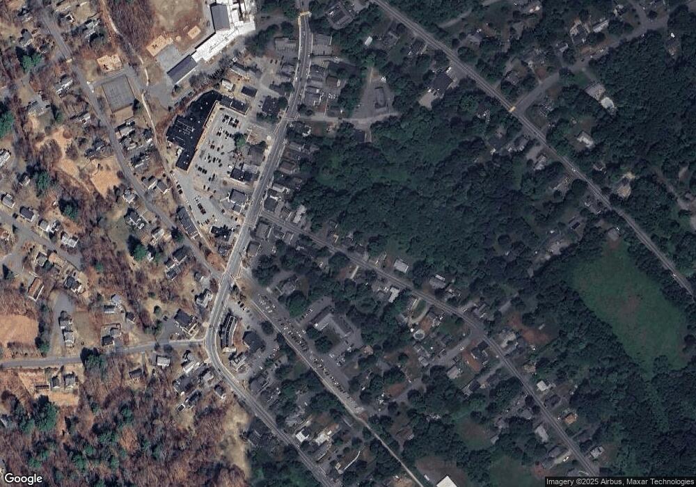
Map
Nearby Homes
- 34 Great Hill Dr Unit 34
- 76 Parsonage Ln
- 27 Brookside Rd
- 223 Perkins Row
- 137 Perkins Row
- 117 Perkins Row
- 10 Walker Rd
- 28 Andrews Farm Rd
- 14 Alderbrook Dr
- 95 Salem Rd
- 88 Haverhill Rd
- 52 Wenham Rd
- 10 Haymeadow Rd
- 84 Hill St
- 4 Wildmeadow Rd
- 4 Ruby Cir
- 34 Wildmeadow Rd
- Lot 3 Pearl Way
- Lot 1 Pearl Way
- 20-B Wildmeadow Rd