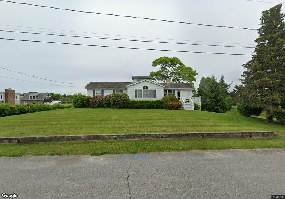
18 Champlin Dr Westerly, RI 02891
Estimated Value: $1,790,000 - $2,469,000
4
Beds
2
Baths
1,940
Sq Ft
$1,073/Sq Ft
Est. Value
About This Home
This home is located at 18 Champlin Dr, Westerly, RI 02891 and is currently estimated at $2,081,137, approximately $1,072 per square foot. 18 Champlin Dr is a home located in Washington County with nearby schools including Westerly High School.
Ownership History
Date
Name
Owned For
Owner Type
Purchase Details
Closed on
Oct 19, 2020
Sold by
Zaia Pierrette R
Bought by
Zaia Mark B
Current Estimated Value
Purchase Details
Closed on
Nov 7, 1997
Sold by
Gruber William F and Gruber Sandra
Bought by
Zaia Pierrette R
Home Financials for this Owner
Home Financials are based on the most recent Mortgage that was taken out on this home.
Original Mortgage
$85,000
Interest Rate
7.19%
Create a Home Valuation Report for This Property
The Home Valuation Report is an in-depth analysis detailing your home's value as well as a comparison with similar homes in the area
Home Values in the Area
Average Home Value in this Area
Purchase History
| Date | Buyer | Sale Price | Title Company |
|---|---|---|---|
| Zaia Mark B | -- | None Available | |
| Zaia Mark B | -- | None Available | |
| Zaia Mark B | -- | None Available | |
| Zaia Pierrette R | $272,000 | -- | |
| Zaia Pierrette R | $272,000 | -- |
Source: Public Records
Mortgage History
| Date | Status | Borrower | Loan Amount |
|---|---|---|---|
| Previous Owner | Zaia Pierrette R | $85,000 |
Source: Public Records
Tax History
| Year | Tax Paid | Tax Assessment Tax Assessment Total Assessment is a certain percentage of the fair market value that is determined by local assessors to be the total taxable value of land and additions on the property. | Land | Improvement |
|---|---|---|---|---|
| 2025 | $15,749 | $2,215,000 | $1,802,700 | $412,300 |
| 2024 | $16,034 | $1,634,500 | $1,296,700 | $337,800 |
| 2023 | $14,957 | $1,554,800 | $1,296,700 | $258,100 |
| 2022 | $14,864 | $1,554,800 | $1,296,700 | $258,100 |
| 2021 | $13,012 | $1,129,500 | $933,100 | $196,400 |
| 2020 | $12,775 | $1,129,500 | $933,100 | $196,400 |
| 2019 | $12,650 | $1,129,500 | $933,100 | $196,400 |
| 2018 | $12,091 | $1,017,800 | $848,400 | $169,400 |
| 2017 | $11,796 | $1,017,800 | $848,400 | $169,400 |
| 2016 | $11,888 | $1,017,800 | $848,400 | $169,400 |
| 2015 | $11,384 | $1,052,100 | $865,600 | $186,500 |
| 2014 | $11,194 | $1,052,100 | $865,600 | $186,500 |
Source: Public Records
Map
Nearby Homes
- 9 Champlin Dr
- 60 Avondale Rd
- 52 Avondale Rd
- 4 Quail Run
- 20 Browning Rd
- 417 River Rd
- 109 Watch Hill Rd
- 50 Ocean View Hwy
- 301 Osbrook Point
- 4 Shore Rd
- 16 Green Ave
- 0 Green Ave
- 10 Tristam St
- 1 Bluff Ave Unit 4-1
- 45 Summertime Cir
- 23 Summertime Cir
- 22 Summertime Cir
- 38 Summertime Cir
- 39 Summertime Cir
- Monroe Plan at The Enclave at Barn Island