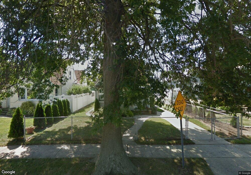
18 Charles St Merrick, NY 11566
Estimated Value: $654,000 - $701,362
4
Beds
1
Bath
1,395
Sq Ft
$486/Sq Ft
Est. Value
About This Home
This home is located at 18 Charles St, Merrick, NY 11566 and is currently estimated at $677,681, approximately $485 per square foot. 18 Charles St is a home located in Nassau County with nearby schools including Burcham Elementary School, Merrick Avenue Middle School, and John F. Kennedy High School.
Ownership History
Date
Name
Owned For
Owner Type
Purchase Details
Closed on
Nov 30, 2017
Sold by
Zutis Trust
Bought by
Scheechtee Lisa B
Current Estimated Value
Home Financials for this Owner
Home Financials are based on the most recent Mortgage that was taken out on this home.
Original Mortgage
$358,388
Outstanding Balance
$305,019
Interest Rate
4.37%
Mortgage Type
FHA
Estimated Equity
$372,662
Purchase Details
Closed on
Nov 26, 2012
Sold by
Zutis Irene
Bought by
Slips Karlis
Create a Home Valuation Report for This Property
The Home Valuation Report is an in-depth analysis detailing your home's value as well as a comparison with similar homes in the area
Home Values in the Area
Average Home Value in this Area
Purchase History
| Date | Buyer | Sale Price | Title Company |
|---|---|---|---|
| Scheechtee Lisa B | $365,000 | -- | |
| Slips Karlis | -- | -- |
Source: Public Records
Mortgage History
| Date | Status | Borrower | Loan Amount |
|---|---|---|---|
| Open | Scheechtee Lisa B | $358,388 |
Source: Public Records
Tax History Compared to Growth
Tax History
| Year | Tax Paid | Tax Assessment Tax Assessment Total Assessment is a certain percentage of the fair market value that is determined by local assessors to be the total taxable value of land and additions on the property. | Land | Improvement |
|---|---|---|---|---|
| 2025 | $12,476 | $411 | $210 | $201 |
| 2024 | $2,877 | $411 | $210 | $201 |
| 2023 | $11,519 | $411 | $210 | $201 |
| 2022 | $11,519 | $411 | $210 | $201 |
| 2021 | $15,667 | $395 | $202 | $193 |
| 2020 | $10,945 | $535 | $470 | $65 |
| 2019 | $3,320 | $714 | $627 | $87 |
| 2018 | $3,168 | $714 | $0 | $0 |
| 2017 | $8,216 | $714 | $627 | $87 |
| 2016 | $11,271 | $714 | $627 | $87 |
| 2015 | $2,833 | $714 | $627 | $87 |
| 2014 | $2,833 | $714 | $627 | $87 |
| 2013 | $2,681 | $714 | $627 | $87 |
Source: Public Records
Map
Nearby Homes
- 60 Montauk Ave
- 2 Dorothy Ct
- 48 Rosebud Ave
- 2704 Beach Dr
- 31 Alice St
- 2729 Shore Dr
- 1945 Byron Rd
- 174 Babylon Turnpike
- 72 Lake End Rd
- 2872 Rosebud Ave
- 2819 Harbor Rd
- 1952 Julian Ln
- 1749 Ann Rd
- 2863 Harbor Rd
- 2848 Clubhouse Rd
- 1763 E Berkshire Rd
- 2884 Bay Dr
- 2903 Preston Ln
- 131 Gregory Ave
- 44 Keeler Ave