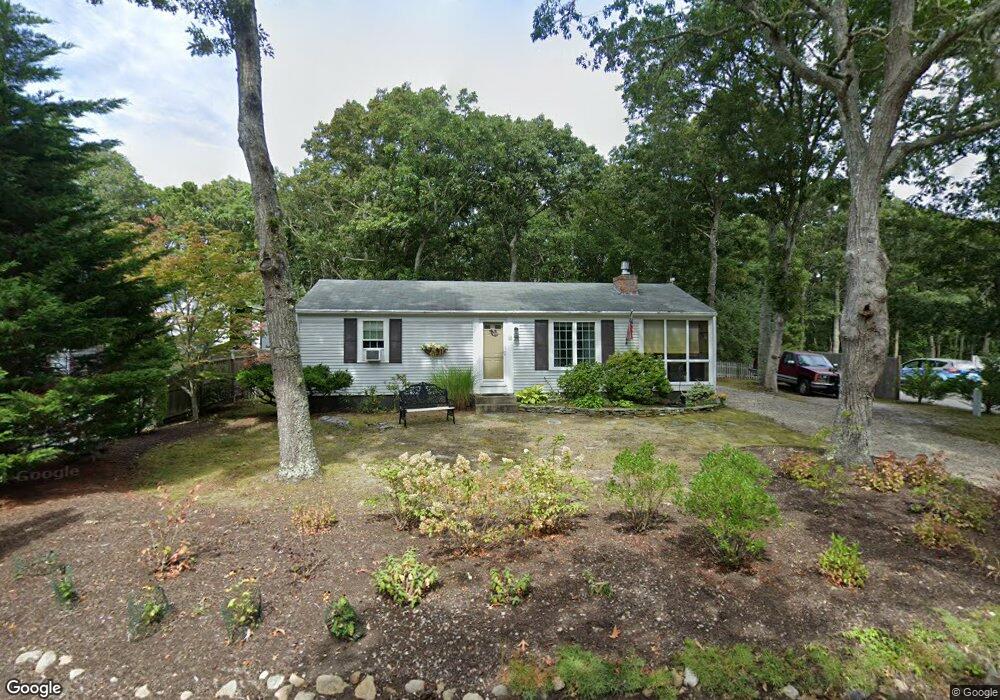
18 Chris Way South Dennis, MA 02660
South Dennis NeighborhoodEstimated Value: $474,000 - $506,000
2
Beds
1
Bath
650
Sq Ft
$754/Sq Ft
Est. Value
About This Home
This home is located at 18 Chris Way, South Dennis, MA 02660 and is currently estimated at $490,166, approximately $754 per square foot. 18 Chris Way is a home located in Barnstable County with nearby schools including Dennis-Yarmouth Regional High School.
Ownership History
Date
Name
Owned For
Owner Type
Purchase Details
Closed on
Dec 5, 1997
Sold by
Keough W Scott W and Keough Maryjane
Bought by
Sargent Susan J
Current Estimated Value
Home Financials for this Owner
Home Financials are based on the most recent Mortgage that was taken out on this home.
Original Mortgage
$54,000
Interest Rate
7.28%
Mortgage Type
Purchase Money Mortgage
Purchase Details
Closed on
Nov 17, 1995
Sold by
Hayes John M and Hayes Marian C
Bought by
Keough W Scott W and Keough Mary Jane
Home Financials for this Owner
Home Financials are based on the most recent Mortgage that was taken out on this home.
Original Mortgage
$72,000
Interest Rate
7.53%
Mortgage Type
Purchase Money Mortgage
Create a Home Valuation Report for This Property
The Home Valuation Report is an in-depth analysis detailing your home's value as well as a comparison with similar homes in the area
Home Values in the Area
Average Home Value in this Area
Purchase History
| Date | Buyer | Sale Price | Title Company |
|---|---|---|---|
| Sargent Susan J | $89,000 | -- | |
| Keough W Scott W | $80,000 | -- |
Source: Public Records
Mortgage History
| Date | Status | Borrower | Loan Amount |
|---|---|---|---|
| Open | Keough W Scott W | $75,000 | |
| Closed | Keough W Scott W | $15,000 | |
| Closed | Keough W Scott W | $54,000 | |
| Previous Owner | Keough W Scott W | $72,000 |
Source: Public Records
Tax History Compared to Growth
Tax History
| Year | Tax Paid | Tax Assessment Tax Assessment Total Assessment is a certain percentage of the fair market value that is determined by local assessors to be the total taxable value of land and additions on the property. | Land | Improvement |
|---|---|---|---|---|
| 2025 | $1,807 | $417,400 | $131,100 | $286,300 |
| 2024 | $1,675 | $381,600 | $126,100 | $255,500 |
| 2023 | $1,620 | $347,000 | $114,600 | $232,400 |
| 2022 | $1,602 | $286,100 | $114,700 | $171,400 |
| 2021 | $1,521 | $252,300 | $112,500 | $139,800 |
| 2020 | $1,460 | $239,300 | $112,500 | $126,800 |
| 2019 | $1,444 | $234,100 | $121,300 | $112,800 |
| 2018 | $1,308 | $206,300 | $105,000 | $101,300 |
| 2017 | $1,249 | $203,100 | $105,000 | $98,100 |
| 2016 | $1,169 | $179,000 | $110,200 | $68,800 |
| 2015 | $1,146 | $179,000 | $110,200 | $68,800 |
| 2014 | $1,130 | $178,000 | $94,500 | $83,500 |
Source: Public Records
Map
Nearby Homes
- 15 Captain Jud Rd
- 11 Uncle Stanleys Way
- 153 Bayridge Dr
- 17 Margate Ln
- 4 Ebb Rd
- 13 Covey Dr
- 32 Captain Walsh Dr
- 10 Joanne Dr
- 25 Skerry Rd
- 17 Fairmount Rd
- 17 Fairmount Rd
- 118 Driftwood Ln
- 111 Merchant Ave
- 7 Vinland Dr
- 129 Driftwood Ln
- 1 Norseman Dr
- 6 Nimble Hill Dr
- 59 Main St Unit 19-2
- 59 Route 6a Unit 29-4
- 59 Massachusetts 6a Unit 19-2