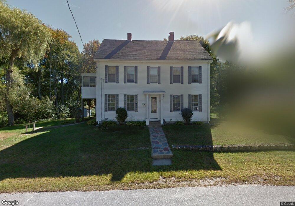
18 Clarke Ct Unit 1 Sharon, MA 02067
Estimated Value: $720,230 - $867,000
2
Beds
1
Bath
1,000
Sq Ft
$787/Sq Ft
Est. Value
About This Home
This home is located at 18 Clarke Ct Unit 1, Sharon, MA 02067 and is currently estimated at $786,808, approximately $786 per square foot. 18 Clarke Ct Unit 1 is a home located in Norfolk County with nearby schools including Heights Elementary School, Sharon Middle School, and Sharon High School.
Ownership History
Date
Name
Owned For
Owner Type
Purchase Details
Closed on
Oct 30, 2018
Sold by
Kanter Rose R
Bought by
Proulx Gretchen E
Current Estimated Value
Home Financials for this Owner
Home Financials are based on the most recent Mortgage that was taken out on this home.
Original Mortgage
$441,849
Outstanding Balance
$386,920
Interest Rate
4.6%
Mortgage Type
FHA
Estimated Equity
$399,888
Purchase Details
Closed on
May 31, 1977
Bought by
Kanter Edward H
Create a Home Valuation Report for This Property
The Home Valuation Report is an in-depth analysis detailing your home's value as well as a comparison with similar homes in the area
Home Values in the Area
Average Home Value in this Area
Purchase History
| Date | Buyer | Sale Price | Title Company |
|---|---|---|---|
| Proulx Gretchen E | $450,000 | -- | |
| Kanter Edward H | -- | -- |
Source: Public Records
Mortgage History
| Date | Status | Borrower | Loan Amount |
|---|---|---|---|
| Open | Proulx Gretchen E | $441,849 | |
| Previous Owner | Kanter Edward H | $10,000 |
Source: Public Records
Tax History Compared to Growth
Tax History
| Year | Tax Paid | Tax Assessment Tax Assessment Total Assessment is a certain percentage of the fair market value that is determined by local assessors to be the total taxable value of land and additions on the property. | Land | Improvement |
|---|---|---|---|---|
| 2025 | $9,955 | $569,500 | $356,200 | $213,300 |
| 2024 | $9,495 | $540,100 | $326,800 | $213,300 |
| 2023 | $9,827 | $528,600 | $305,500 | $223,100 |
| 2022 | $9,549 | $483,500 | $254,600 | $228,900 |
| 2021 | $9,265 | $453,500 | $240,200 | $213,300 |
| 2020 | $8,617 | $453,500 | $240,200 | $213,300 |
| 2019 | $7,702 | $396,800 | $212,600 | $184,200 |
| 2018 | $7,241 | $373,800 | $189,600 | $184,200 |
| 2017 | $7,434 | $378,900 | $194,700 | $184,200 |
| 2016 | $7,620 | $378,900 | $194,700 | $184,200 |
| 2015 | $6,955 | $342,600 | $162,500 | $180,100 |
| 2014 | $6,440 | $313,400 | $147,800 | $165,600 |
Source: Public Records
Map
Nearby Homes
- 11 Webb Rd
- 28 Norfolk Place
- 111 E Foxboro St
- 6 Grove Ave
- 27 Henry St
- 148 S Main St
- 5 Trowel Pond Shop Rd Unit C
- 150 Pond St
- 137 Pond St
- 5 Chase Dr
- 630 S Main St
- 16 Forest Rd
- 15 Paul Revere Rd
- 49 Cottage St
- 29 Station St
- 54 Depot St
- Lot One Old Wolomolopoag St
- Lot Two Old Wolomolopoag St
- 668 S Main St
- 14 Cottage St