Estimated Value: $104,000 - $188,000
4
Beds
2
Baths
1,425
Sq Ft
$97/Sq Ft
Est. Value
About This Home
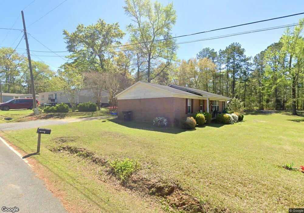
This home is located at 18 Cochran St NW, Cairo, GA 39828 and is currently estimated at $138,534, approximately $97 per square foot. 18 Cochran St NW is a home located in Grady County with nearby schools including Cairo High School.
Ownership History
Date
Name
Owned For
Owner Type
Purchase Details
Closed on
Apr 9, 2010
Sold by
Ponder Farms Inc
Bought by
Mccree Gloria
Current Estimated Value
Home Financials for this Owner
Home Financials are based on the most recent Mortgage that was taken out on this home.
Original Mortgage
$80,000
Outstanding Balance
$57,609
Interest Rate
4.94%
Mortgage Type
USDA
Estimated Equity
$80,925
Purchase Details
Closed on
Aug 20, 2009
Sold by
Ponder Jesse G
Bought by
Ponder Farms Inc
Home Financials for this Owner
Home Financials are based on the most recent Mortgage that was taken out on this home.
Original Mortgage
$50,853
Interest Rate
6.25%
Mortgage Type
Future Advance Clause Open End Mortgage
Purchase Details
Closed on
Dec 2, 2008
Sold by
Donaldson Roy K and Donaldson Shirley A
Bought by
Wachovia Bank Of Delaware Na and First Union National Bank Of Delaware
Purchase Details
Closed on
Oct 15, 1999
Sold by
Williams Shirley A
Bought by
Donaldson Shirley A
Purchase Details
Closed on
Jan 4, 1995
Bought by
Williams Shirley A
Create a Home Valuation Report for This Property
The Home Valuation Report is an in-depth analysis detailing your home's value as well as a comparison with similar homes in the area
Purchase History
| Date | Buyer | Sale Price | Title Company |
|---|---|---|---|
| Mccree Gloria | $80,000 | -- | |
| Ponder Farms Inc | -- | -- | |
| Ponder Jesse G | $50,000 | -- | |
| Wachovia Bank Of Delaware Na | $91,901 | -- | |
| Donaldson Shirley A | -- | -- | |
| Williams Shirley A | -- | -- |
Source: Public Records
Mortgage History
| Date | Status | Borrower | Loan Amount |
|---|---|---|---|
| Open | Mccree Gloria | $80,000 | |
| Previous Owner | Ponder Jesse G | $50,853 |
Source: Public Records
Tax History
| Year | Tax Paid | Tax Assessment Tax Assessment Total Assessment is a certain percentage of the fair market value that is determined by local assessors to be the total taxable value of land and additions on the property. | Land | Improvement |
|---|---|---|---|---|
| 2024 | $1,776 | $52,740 | $1,936 | $50,804 |
| 2023 | $1,340 | $36,198 | $2,268 | $33,930 |
| 2022 | $1,394 | $36,198 | $2,268 | $33,930 |
| 2021 | $1,397 | $36,198 | $2,268 | $33,930 |
| 2020 | $1,401 | $36,198 | $2,268 | $33,930 |
| 2019 | $1,401 | $36,198 | $2,268 | $33,930 |
| 2018 | $1,332 | $36,198 | $2,268 | $33,930 |
| 2017 | $1,281 | $36,198 | $2,268 | $33,930 |
| 2016 | $1,091 | $30,162 | $2,268 | $27,894 |
| 2015 | $1,080 | $30,162 | $2,268 | $27,894 |
| 2014 | $1,081 | $30,162 | $2,268 | $27,894 |
| 2013 | -- | $26,280 | $2,268 | $24,012 |
Source: Public Records
Map
Nearby Homes
- 000 1st Ave SW
- 320 8th St SW
- 1016 Syrup Mill Creek Ln
- 220 8th Ave NW
- 00 00 Hwy 111 South Tract 2
- 698 12th Ave NW
- 125 6th Ave NW
- 909 4th St NW
- 1296 McQuaig St NW
- 1293 McQuaig St NW
- 0 McQuaig St NW
- 00 6th St NW
- 00 Hwy 111 South Tract 1
- X 1st St
- 0 1st St
- 00 Lake Douglas
- Lot 27 W Lake Dr
- 460 2nd St SW
- 1382 Lake Front Dr
- 1490 Magnolia Dr
- 12 Cochran St NW
- 15 Cochran St NW
- 417 10th St NW
- 12 10th St SW
- 28 11th St SW
- 1266 Rock Ave
- 1038 6th Ave NW
- 1032 6th Ave NW
- 00 10th St SW
- 37 11th St SW
- 1233 Rock Ave
- 1228 6th Ave NW
- 000 14th St NW
- 920 Bluff Ave NW
- 505 14th St NW
- 307 14th St NW
- 38 10th St SW
- 1310 6th Ave NW
- 421 9th St NW
- 77 11th St SW
Your Personal Tour Guide
Ask me questions while you tour the home.