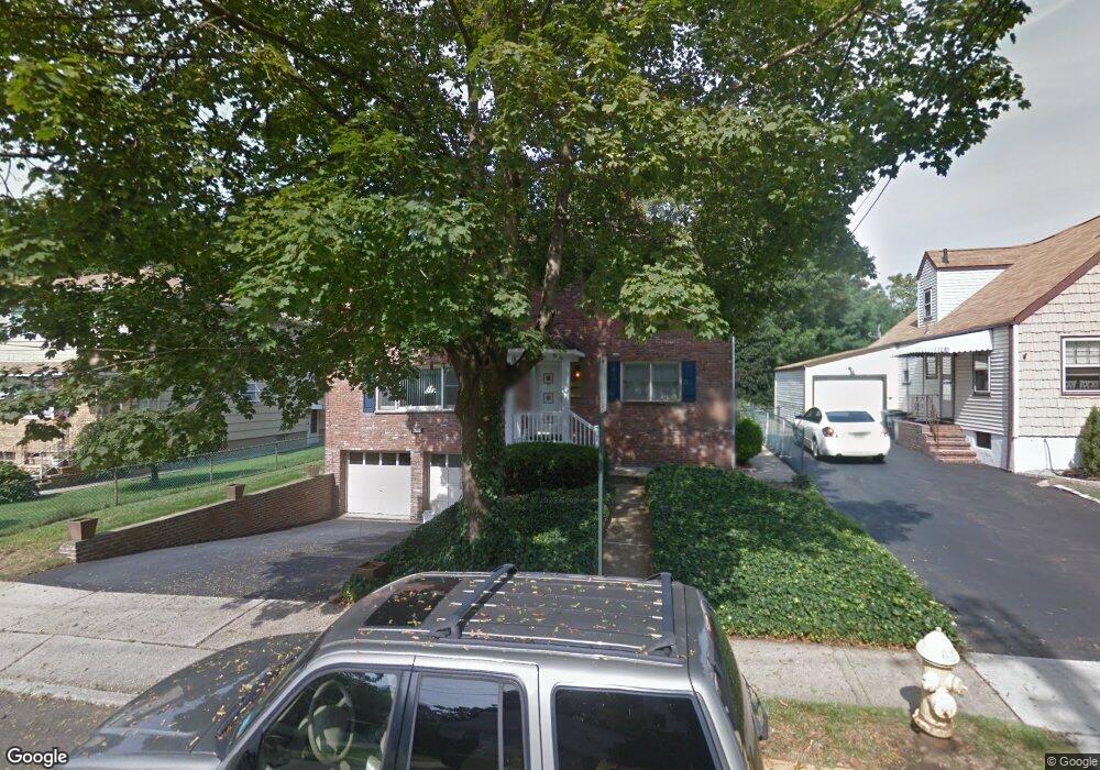
18 Cook Rd Unit 2 Bloomfield, NJ 07003
Estimated Value: $660,937 - $957,000
2
Beds
1
Bath
2,080
Sq Ft
$378/Sq Ft
Est. Value
About This Home
This home is located at 18 Cook Rd Unit 2, Bloomfield, NJ 07003 and is currently estimated at $786,984, approximately $378 per square foot. 18 Cook Rd Unit 2 is a home located in Essex County with nearby schools including Nutley High School and Maarif School.
Ownership History
Date
Name
Owned For
Owner Type
Purchase Details
Closed on
Mar 2, 2024
Sold by
Munoz Marco and Munoz Susana
Bought by
Munoz Marco
Current Estimated Value
Purchase Details
Closed on
Aug 30, 2019
Sold by
Whittle Kimberley A
Bought by
Munoz Marco and Munoz Marco
Home Financials for this Owner
Home Financials are based on the most recent Mortgage that was taken out on this home.
Original Mortgage
$335,300
Interest Rate
3.7%
Mortgage Type
Purchase Money Mortgage
Purchase Details
Closed on
Feb 23, 2001
Sold by
Raljanovic Peter
Bought by
Whittle Kimberly A
Home Financials for this Owner
Home Financials are based on the most recent Mortgage that was taken out on this home.
Original Mortgage
$245,100
Interest Rate
7.15%
Purchase Details
Closed on
Jul 31, 1996
Sold by
Velardo Lawrence
Bought by
Reljanovic Peter and Reljanovic Lila
Home Financials for this Owner
Home Financials are based on the most recent Mortgage that was taken out on this home.
Original Mortgage
$167,000
Interest Rate
8.4%
Create a Home Valuation Report for This Property
The Home Valuation Report is an in-depth analysis detailing your home's value as well as a comparison with similar homes in the area
Home Values in the Area
Average Home Value in this Area
Purchase History
| Date | Buyer | Sale Price | Title Company |
|---|---|---|---|
| Munoz Marco | -- | None Listed On Document | |
| Munoz Marco | $479,000 | Mega Title | |
| Whittle Kimberly A | $258,000 | -- | |
| Reljanovic Peter | $185,000 | -- |
Source: Public Records
Mortgage History
| Date | Status | Borrower | Loan Amount |
|---|---|---|---|
| Previous Owner | Munoz Marco | $335,300 | |
| Previous Owner | Whittle Kimberly A | $245,100 | |
| Previous Owner | Reljanovic Peter | $167,000 |
Source: Public Records
Tax History
| Year | Tax Paid | Tax Assessment Tax Assessment Total Assessment is a certain percentage of the fair market value that is determined by local assessors to be the total taxable value of land and additions on the property. | Land | Improvement |
|---|---|---|---|---|
| 2025 | $14,813 | $436,700 | $140,000 | $296,700 |
| 2024 | $14,271 | $436,700 | $140,000 | $296,700 |
| 2022 | $13,983 | $436,700 | $140,000 | $296,700 |
| 2021 | $13,725 | $436,700 | $140,000 | $296,700 |
| 2020 | $13,516 | $436,700 | $140,000 | $296,700 |
| 2019 | $15,072 | $378,600 | $138,000 | $240,600 |
| 2018 | $15,008 | $378,600 | $138,000 | $240,600 |
| 2017 | $14,781 | $378,600 | $138,000 | $240,600 |
| 2016 | $14,614 | $378,600 | $138,000 | $240,600 |
| 2015 | $14,481 | $378,600 | $138,000 | $240,600 |
| 2014 | $14,216 | $378,600 | $138,000 | $240,600 |
Source: Public Records
Map
Nearby Homes
- 117 Hoover Ave
- 129 Pake St
- 70 Valentine Rd
- 237 E Passaic Ave
- 18 Birch St
- 838 Joralemon St
- 68 Ketner St
- 46 Summit Ave
- 45 Rutan Rd
- 290 Hoover Ave
- 290 Hoover Ave Unit 9
- 20 Elston St
- 476 Harrison St
- 18 Ketner St
- 33 Daka Ct
- 106 Broughton Ave
- 70 Kierstead Ave
- 35 Hastings Ave
- 209 Van Winkle Ave
- 366 Hoover Ave Unit 119
Your Personal Tour Guide
Ask me questions while you tour the home.