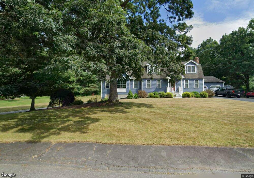
18 Cornstalk Rd Dracut, MA 01826
Estimated Value: $734,000 - $872,000
3
Beds
2
Baths
1,824
Sq Ft
$443/Sq Ft
Est. Value
About This Home
This home is located at 18 Cornstalk Rd, Dracut, MA 01826 and is currently estimated at $807,452, approximately $442 per square foot. 18 Cornstalk Rd is a home located in Middlesex County with nearby schools including Joseph A. Campbell Elementary School, Richardson Middle School, and Dracut Senior High School.
Ownership History
Date
Name
Owned For
Owner Type
Purchase Details
Closed on
Feb 23, 2007
Sold by
Hamel Mary M and Hamel Richard C
Bought by
Renaud Gregory Stuart and Renaud Julie Beth
Current Estimated Value
Home Financials for this Owner
Home Financials are based on the most recent Mortgage that was taken out on this home.
Original Mortgage
$290,000
Outstanding Balance
$174,372
Interest Rate
6.23%
Mortgage Type
Purchase Money Mortgage
Estimated Equity
$633,080
Create a Home Valuation Report for This Property
The Home Valuation Report is an in-depth analysis detailing your home's value as well as a comparison with similar homes in the area
Home Values in the Area
Average Home Value in this Area
Purchase History
| Date | Buyer | Sale Price | Title Company |
|---|---|---|---|
| Renaud Gregory Stuart | $362,500 | -- |
Source: Public Records
Mortgage History
| Date | Status | Borrower | Loan Amount |
|---|---|---|---|
| Open | Renaud Gregory Stuart | $290,000 |
Source: Public Records
Tax History
| Year | Tax Paid | Tax Assessment Tax Assessment Total Assessment is a certain percentage of the fair market value that is determined by local assessors to be the total taxable value of land and additions on the property. | Land | Improvement |
|---|---|---|---|---|
| 2025 | $7,822 | $772,900 | $257,100 | $515,800 |
| 2024 | $7,578 | $725,200 | $245,100 | $480,100 |
| 2023 | $7,349 | $634,600 | $213,200 | $421,400 |
| 2022 | $7,257 | $590,500 | $193,900 | $396,600 |
| 2021 | $7,007 | $538,600 | $176,100 | $362,500 |
| 2020 | $6,768 | $507,000 | $170,800 | $336,200 |
| 2019 | $5,521 | $401,500 | $162,600 | $238,900 |
| 2018 | $5,227 | $391,300 | $162,600 | $228,700 |
| 2017 | $5,497 | $391,300 | $162,600 | $228,700 |
| 2016 | $5,457 | $367,700 | $163,400 | $204,300 |
| 2015 | $5,276 | $353,400 | $163,400 | $190,000 |
| 2014 | $4,857 | $335,200 | $163,400 | $171,800 |
Source: Public Records
Map
Nearby Homes
- 277 Loon Hill Rd
- 10 Lanseigne St
- 287 Fox Ave
- 315 Broadway Rd Unit 1
- 315 Broadway Rd Unit 7
- 144 Thissell Ave Unit 11
- 4 Hazelwood Ave Unit 12
- 700 Robbins Ave Unit 6
- 668 Robbins Ave Unit 1
- 69 Arlington St
- 40 Arlington Ave
- 54 Montaup Ave
- 175 Willard St Unit 9
- 1391 Bridge St
- 89 Newbury St
- 11 Joseph Ave
- 1563 Bridge St
- 1573 Bridge St
- 84 Tellier Way
- 935 Methuen St Unit 13
- 8 Cornstalk Rd
- 19 Cornstalk Rd
- 28 Cornstalk Rd
- 29 Cornstalk Rd
- 9 Cornstalk Rd
- 37 Lexington Rd
- 7 Lexington Rd
- 36 Lexington Rd
- 167 Loon Hill Rd
- 20 Lexington Rd
- 26 Lexington Rd
- 47 Lexington Rd
- 10 Lexington Rd
- 12 Shady Ln
- 9 Shady Ln
- 57 Lexington Rd
- 193 Loon Hill Rd
- 157 Loon Hill Rd
- 19 Shady Ln
- 58 Lexington Rd
Your Personal Tour Guide
Ask me questions while you tour the home.