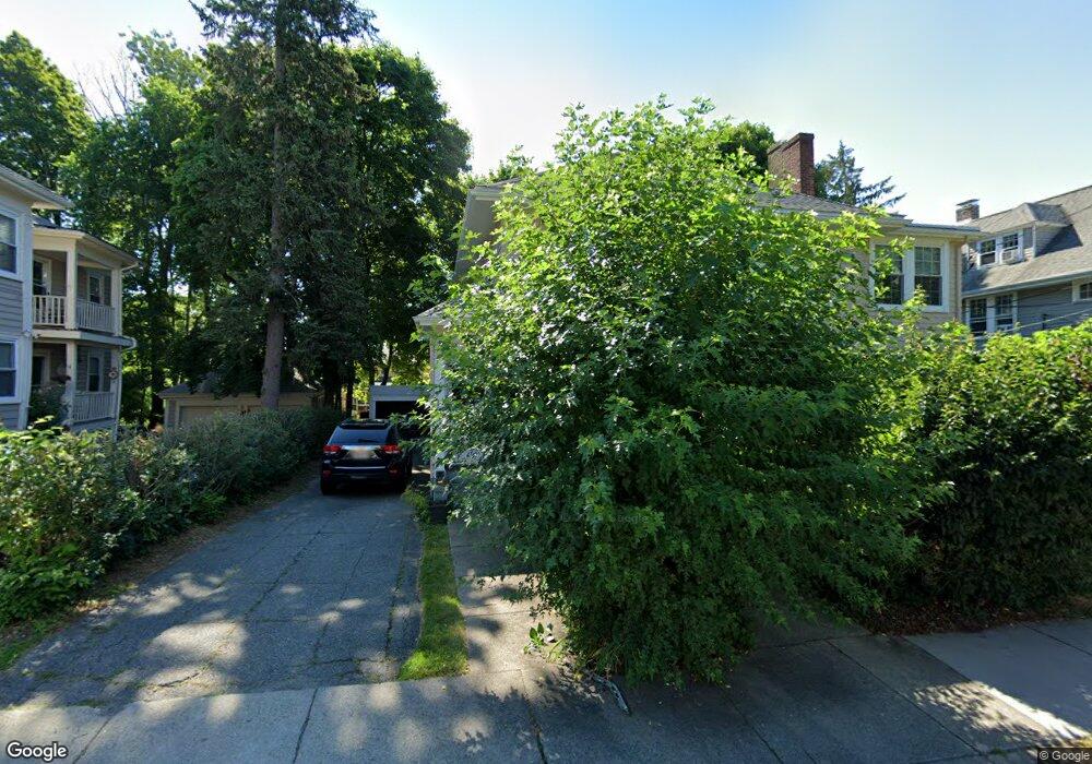
18 Crosby Rd Unit 1 Chestnut Hill, MA 02467
Chestnut Hill NeighborhoodEstimated Value: $748,000 - $939,000
3
Beds
1
Bath
1,500
Sq Ft
$546/Sq Ft
Est. Value
About This Home
This home is located at 18 Crosby Rd Unit 1, Chestnut Hill, MA 02467 and is currently estimated at $819,404, approximately $546 per square foot. 18 Crosby Rd Unit 1 is a home located in Middlesex County with nearby schools including Ward Elementary School, Bigelow Middle School, and Newton North High School.
Ownership History
Date
Name
Owned For
Owner Type
Purchase Details
Closed on
Nov 30, 2021
Sold by
Ladin Zvi and Ladin Rivka
Bought by
Porath Mordecai and Porath Bonit E
Current Estimated Value
Purchase Details
Closed on
Aug 1, 1985
Bought by
Ladin Zvi and Ladin Rivka
Create a Home Valuation Report for This Property
The Home Valuation Report is an in-depth analysis detailing your home's value as well as a comparison with similar homes in the area
Home Values in the Area
Average Home Value in this Area
Purchase History
| Date | Buyer | Sale Price | Title Company |
|---|---|---|---|
| Porath Mordecai | -- | None Available | |
| Ladin Zvi | -- | None Available | |
| Ladin Zvi | $285,000 | -- |
Source: Public Records
Mortgage History
| Date | Status | Borrower | Loan Amount |
|---|---|---|---|
| Previous Owner | Ladin Zvi | $84,000 |
Source: Public Records
Tax History Compared to Growth
Tax History
| Year | Tax Paid | Tax Assessment Tax Assessment Total Assessment is a certain percentage of the fair market value that is determined by local assessors to be the total taxable value of land and additions on the property. | Land | Improvement |
|---|---|---|---|---|
| 2025 | $6,700 | $683,700 | $0 | $683,700 |
| 2024 | $6,479 | $663,800 | $0 | $663,800 |
| 2023 | $6,430 | $631,600 | $0 | $631,600 |
| 2022 | $12,954 | $1,231,400 | $823,000 | $408,400 |
| 2021 | $12,156 | $1,129,700 | $755,000 | $374,700 |
| 2020 | $11,244 | $1,077,000 | $755,000 | $322,000 |
| 2019 | $10,389 | $994,200 | $705,600 | $288,600 |
| 2018 | $10,544 | $974,500 | $667,700 | $306,800 |
| 2017 | $9,941 | $894,000 | $612,600 | $281,400 |
| 2016 | $9,387 | $824,900 | $562,000 | $262,900 |
| 2015 | $8,950 | $770,900 | $525,200 | $245,700 |
Source: Public Records
Map
Nearby Homes
- 5 Hammond St
- 5 Merrill Rd
- 104 Woodchester Dr
- 67 Algonquin Rd
- 27-29 Commonwealth Ave Unit 5
- 154 Lake Shore Rd Unit 4
- 85 Gate House Rd
- 116 Lake Shore Rd Unit 4
- 9 The Ledges Rd
- 108 Lake Shore Rd Unit 4
- 142 Kenrick St Unit 36
- 23 Francis St Unit 23-1
- 21 Francis St Unit 21A
- 88 Essex Rd
- 44 Irving St
- 31 W Boulevard Rd
- 32-34 Larch St
- 32 Larch St Unit 34
- 34 Larch St Unit 34
- 2021 Commonwealth Ave Unit B
- 20 Crosby Rd Unit 1
- 18 Crosby Rd Unit 20
- 18 Crosby Rd Unit 18
- 24 Crosby Rd Unit 24
- 22 Crosby Rd Unit 24
- 10 Crosby Rd Unit 12
- 10 Crosby Rd Unit 2
- 28-30 Crosby Rd
- 25 Priscilla Rd
- 25 Priscilla Rd Unit 1
- 28 Crosby Rd Unit 30
- 28 Crosby Rd
- 19 Priscilla Rd
- 17 Crosby Rd Unit 19
- 11 Crosby Rd Unit 15
- 15 Crosby Rd Unit 1
- 15 Crosby Rd
- 27 Crosby Rd Unit 1
- 27 Crosby Rd Unit 3
- 27 Crosby Rd