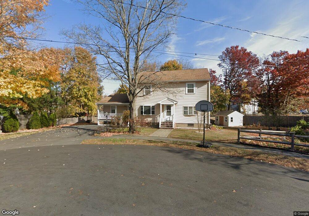
18 Crosby Rd Reading, MA 01867
Estimated Value: $757,000 - $883,954
3
Beds
3
Baths
1,924
Sq Ft
$433/Sq Ft
Est. Value
About This Home
This home is located at 18 Crosby Rd, Reading, MA 01867 and is currently estimated at $833,239, approximately $433 per square foot. 18 Crosby Rd is a home located in Middlesex County with nearby schools including Joshua Eaton Elementary School, Walter S. Parker Middle School, and Reading Memorial High School.
Ownership History
Date
Name
Owned For
Owner Type
Purchase Details
Closed on
Feb 22, 2005
Sold by
Jenks Corey D
Bought by
Fingfing Beahn H and Fingfing Beatrix T
Current Estimated Value
Home Financials for this Owner
Home Financials are based on the most recent Mortgage that was taken out on this home.
Original Mortgage
$273,000
Outstanding Balance
$139,035
Interest Rate
5.78%
Mortgage Type
Purchase Money Mortgage
Estimated Equity
$694,204
Purchase Details
Closed on
Aug 5, 2003
Sold by
Jenks Carol J
Bought by
Jenks Corey D and Jenks Kevin R
Create a Home Valuation Report for This Property
The Home Valuation Report is an in-depth analysis detailing your home's value as well as a comparison with similar homes in the area
Home Values in the Area
Average Home Value in this Area
Purchase History
| Date | Buyer | Sale Price | Title Company |
|---|---|---|---|
| Fingfing Beahn H | $345,000 | -- | |
| Jenks Corey D | -- | -- |
Source: Public Records
Mortgage History
| Date | Status | Borrower | Loan Amount |
|---|---|---|---|
| Open | Fingfing Beahn H | $273,000 |
Source: Public Records
Tax History Compared to Growth
Tax History
| Year | Tax Paid | Tax Assessment Tax Assessment Total Assessment is a certain percentage of the fair market value that is determined by local assessors to be the total taxable value of land and additions on the property. | Land | Improvement |
|---|---|---|---|---|
| 2025 | $9,218 | $809,300 | $429,800 | $379,500 |
| 2024 | $8,946 | $763,300 | $405,300 | $358,000 |
| 2023 | $9,153 | $727,000 | $386,000 | $341,000 |
| 2022 | $8,812 | $661,100 | $350,900 | $310,200 |
| 2021 | $8,394 | $607,800 | $327,500 | $280,300 |
| 2020 | $5,846 | $575,500 | $310,000 | $265,500 |
| 2019 | $6,374 | $548,300 | $295,300 | $253,000 |
| 2018 | $7,225 | $520,900 | $280,500 | $240,400 |
| 2017 | $6,171 | $523,600 | $268,400 | $255,200 |
| 2016 | $5,567 | $383,900 | $222,000 | $161,900 |
| 2015 | $5,289 | $359,800 | $208,000 | $151,800 |
| 2014 | $5,102 | $346,100 | $200,000 | $146,100 |
Source: Public Records
Map
Nearby Homes
- 24 Minot St
- 35 Park Ave
- 223 Washington St
- 48 Village St Unit 1001
- 5 Washington St Unit B2
- 52 Sanborn St Unit 408
- 103 High St
- 237 Main St Unit A4
- 77 Mount Vernon St
- 169 Green St
- 52 Salem St
- 577 Summer Ave
- 89 Walnut St
- 7 Carnation Cir Unit C
- 175 West St
- 863 Main St
- 195 Lowell St
- 42 Winthrop Ave
- 266 West St
- 101 King St Unit 101
- 14 Crosby Rd
- 20 Crosby Rd
- 1111 Private
- 400 Main St Unit 1
- 400 Main St Unit 1& 2
- 400 Main St
- 8 Crosby Rd
- 17 Crosby Rd
- 13 Crosby Rd
- 161 Ash St Unit 6
- 161 Ash St
- 161 Ash St Unit A1
- 161 Ash St Unit A2
- 139 Washington St Unit 12
- 139 Washington St Unit 6
- 139 Washington St Unit 4
- 69 Minot St
- 145 Washington St
- 65 Minot St
- 4 Crosby Rd