18 Crow Ridge Rd Kennebunkport, ME 04046
Estimated Value: $514,471 - $967,000
2
Beds
1
Bath
1,374
Sq Ft
$500/Sq Ft
Est. Value
About This Home
This home is located at 18 Crow Ridge Rd, Kennebunkport, ME 04046 and is currently estimated at $686,824, approximately $499 per square foot. 18 Crow Ridge Rd is a home with nearby schools including Kennebunk High School and School Around Us.
Ownership History
Date
Name
Owned For
Owner Type
Purchase Details
Closed on
Oct 20, 2020
Sold by
Lipkin Robert L and Lipkin Mary L
Bought by
Murray James M
Current Estimated Value
Home Financials for this Owner
Home Financials are based on the most recent Mortgage that was taken out on this home.
Original Mortgage
$339,733
Outstanding Balance
$300,238
Interest Rate
2.8%
Mortgage Type
FHA
Estimated Equity
$386,586
Create a Home Valuation Report for This Property
The Home Valuation Report is an in-depth analysis detailing your home's value as well as a comparison with similar homes in the area
Home Values in the Area
Average Home Value in this Area
Purchase History
| Date | Buyer | Sale Price | Title Company |
|---|---|---|---|
| Murray James M | -- | None Available |
Source: Public Records
Mortgage History
| Date | Status | Borrower | Loan Amount |
|---|---|---|---|
| Open | Murray James M | $339,733 |
Source: Public Records
Tax History Compared to Growth
Tax History
| Year | Tax Paid | Tax Assessment Tax Assessment Total Assessment is a certain percentage of the fair market value that is determined by local assessors to be the total taxable value of land and additions on the property. | Land | Improvement |
|---|---|---|---|---|
| 2025 | $2,714 | $394,500 | $191,600 | $202,900 |
| 2024 | $2,564 | $394,500 | $191,600 | $202,900 |
| 2023 | $2,466 | $394,500 | $191,600 | $202,900 |
| 2022 | $2,354 | $392,300 | $191,600 | $200,700 |
| 2021 | $2,124 | $221,200 | $99,500 | $121,700 |
| 2020 | $2,090 | $221,200 | $99,500 | $121,700 |
| 2019 | $2,090 | $221,200 | $99,500 | $121,700 |
| 2018 | $1,703 | $221,200 | $99,500 | $121,700 |
| 2017 | $1,924 | $221,200 | $99,500 | $121,700 |
| 2016 | $1,832 | $221,200 | $99,500 | $121,700 |
| 2015 | $1,703 | $221,200 | $99,500 | $121,700 |
| 2014 | $1,688 | $221,200 | $99,500 | $121,700 |
Source: Public Records
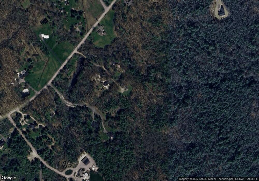
Map
Nearby Homes
- 11 Acorn Ave
- 245 Arundel Rd
- 286 Goose Rocks Rd
- 2 Forest Dr
- 14 Forest Dr
- Lot 5 Forest Dr
- 9 Forest Dr
- 12 Forest Dr
- 13 Forest Dr
- 20 Stone Rd
- TBD Arundel Rd
- 0 Oak Ridge Rd
- 0 Cole Benson Rd
- Lot 11 Prospect Reserve Way
- Lot 9 Prospect Reserve Way
- Lot 5 Prospect Reserve Way
- TBD Log Cabin
- Lot 1 Prospect Reserve Way
- Lot 4 Prospect Reserve Way
- 0 Campbell Ln Unit 1630141
- 99 Goose Rocks Rd
- 101 Goose Rocks Rd
- 29 Michaels Way
- TBD Michael's Way Rd
- End Crow Ridge Rd
- 25 Michaels Way
- 3 Crow Ridge Rd
- 107 Goose Rocks Rd
- Lot 4 Lucia Way
- 97 Goose Rocks Rd Unit Parcel 3
- 97 Goose Rocks Rd
- 97 Goose Rocks Rd
- 91 Goose Rocks Rd
- 106 Goose Rocks Rd
- 0 Willey Rd
- 117 Goose Rocks Rd
- 20 Apple Blossom Ln
- 98 Goose Rocks Rd
- 83 Goose Rocks Rd