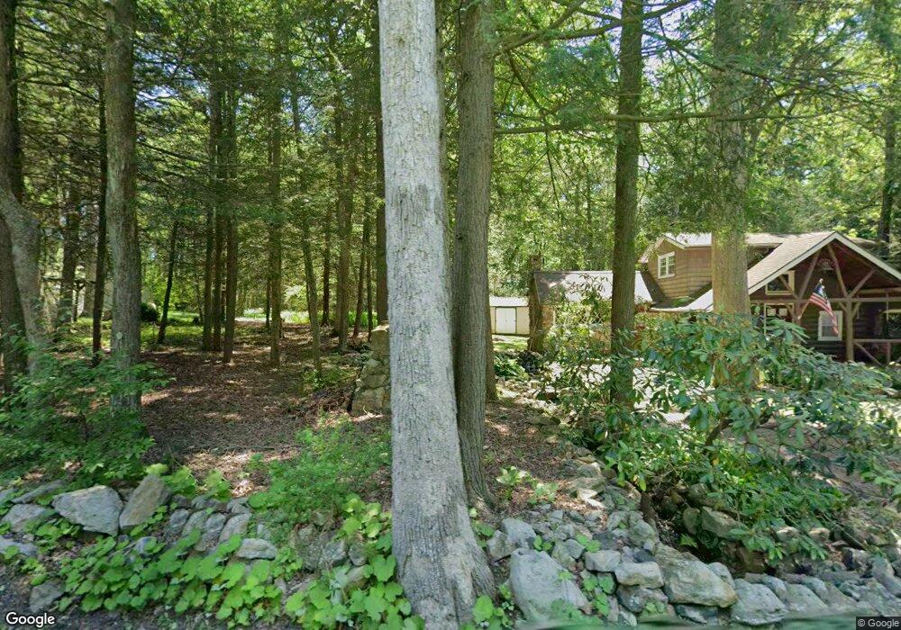
18 Danner Rd Jim Thorpe, PA 18229
Estimated Value: $186,986 - $282,000
1
Bed
1
Bath
1,077
Sq Ft
$212/Sq Ft
Est. Value
About This Home
This home is located at 18 Danner Rd, Jim Thorpe, PA 18229 and is currently estimated at $228,747, approximately $212 per square foot. 18 Danner Rd is a home located in Carbon County with nearby schools including Jim Thorpe Area High School.
Ownership History
Date
Name
Owned For
Owner Type
Purchase Details
Closed on
Dec 30, 2009
Sold by
Shewokis Patricia A and Giardina Cassandra
Bought by
Geist Kimberly A
Current Estimated Value
Home Financials for this Owner
Home Financials are based on the most recent Mortgage that was taken out on this home.
Original Mortgage
$95,000
Interest Rate
4.78%
Mortgage Type
New Conventional
Purchase Details
Closed on
Jul 27, 2007
Sold by
Johnson Samuel F
Bought by
Shewokis Patricia A and Giardina Cassandra
Home Financials for this Owner
Home Financials are based on the most recent Mortgage that was taken out on this home.
Original Mortgage
$125,000
Interest Rate
6.78%
Mortgage Type
New Conventional
Create a Home Valuation Report for This Property
The Home Valuation Report is an in-depth analysis detailing your home's value as well as a comparison with similar homes in the area
Home Values in the Area
Average Home Value in this Area
Purchase History
| Date | Buyer | Sale Price | Title Company |
|---|---|---|---|
| Geist Kimberly A | $135,000 | None Available | |
| Shewokis Patricia A | $169,500 | None Available |
Source: Public Records
Mortgage History
| Date | Status | Borrower | Loan Amount |
|---|---|---|---|
| Closed | Geist Kimberly A | $95,000 | |
| Previous Owner | Shewokis Patricia A | $125,000 |
Source: Public Records
Tax History Compared to Growth
Tax History
| Year | Tax Paid | Tax Assessment Tax Assessment Total Assessment is a certain percentage of the fair market value that is determined by local assessors to be the total taxable value of land and additions on the property. | Land | Improvement |
|---|---|---|---|---|
| 2025 | $2,375 | $38,600 | $8,000 | $30,600 |
| 2024 | $2,259 | $38,600 | $8,000 | $30,600 |
| 2023 | $2,230 | $38,600 | $8,000 | $30,600 |
| 2022 | $2,230 | $38,600 | $8,000 | $30,600 |
| 2021 | $2,230 | $38,600 | $8,000 | $30,600 |
| 2020 | $3,060 | $52,969 | $8,000 | $44,969 |
| 2019 | $2,954 | $52,969 | $8,000 | $44,969 |
| 2018 | $2,954 | $52,969 | $8,000 | $44,969 |
| 2017 | $2,954 | $52,969 | $8,000 | $44,969 |
| 2016 | -- | $52,969 | $8,000 | $44,969 |
| 2015 | -- | $52,969 | $8,000 | $44,969 |
| 2014 | -- | $52,969 | $8,000 | $44,969 |
Source: Public Records
Map
Nearby Homes
- 1733 State Route 903
- 752 Yellow Run Rd
- 0 Yellow Run Rd Unit 752474
- 748 Yellow Run Rd
- 731 Yellow Run Rd
- Lot I731 Yellow Run Rd
- 169 Yellow Run Rd
- 0 Lot J769 Yellow Run Rd
- 9 Pinoak Dr
- 161 Fox Ln
- J752 Yellow Run Rd
- 0 Dr
- 0 Cross Run Rd Unit Lot 567 757717
- 626 Cross Run Rd
- Lot 567 Cross Run Rd
- H570 Cross Run Road & Engler Ln
- H593 Engler Ln
- Lot F534 Pin Oak Dr
- H594 Engler Ln
- 66 Hummingbird Dr