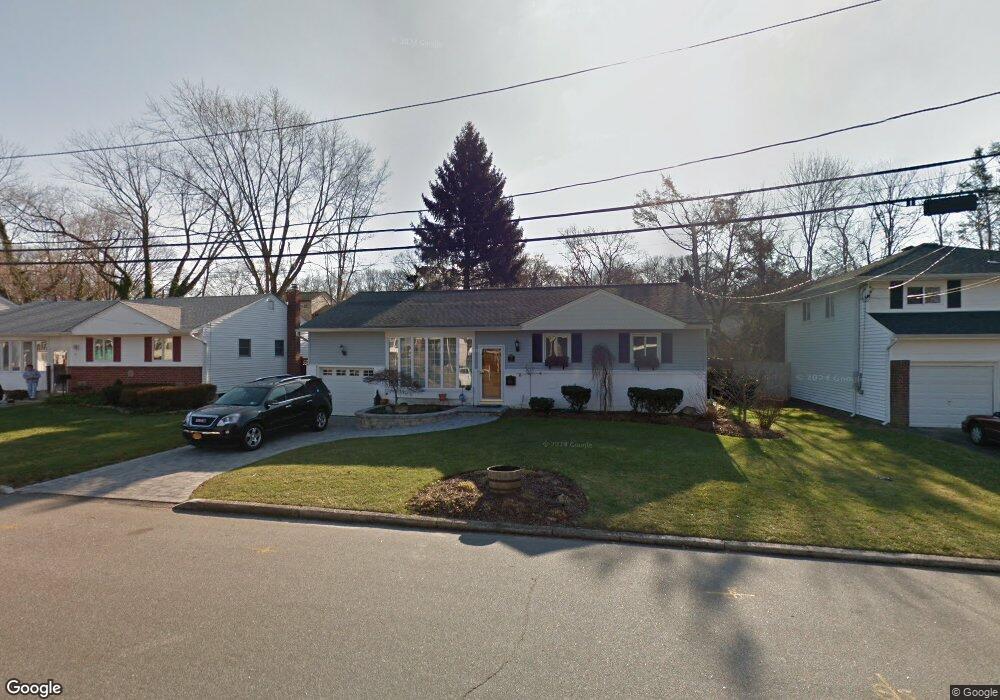
18 David Ct Huntington Station, NY 11746
Estimated Value: $673,000 - $723,000
--
Bed
--
Bath
--
Sq Ft
6,098
Sq Ft Lot
About This Home
This home is located at 18 David Ct, Huntington Station, NY 11746 and is currently estimated at $696,546. 18 David Ct is a home located in Suffolk County with nearby schools including Woodhull Intermediate School, Washington School, and J Taylor Finley Middle School.
Ownership History
Date
Name
Owned For
Owner Type
Purchase Details
Closed on
Jul 29, 2009
Sold by
Avci Hakan and Avci Patricia
Bought by
Avci Patricia
Current Estimated Value
Purchase Details
Closed on
Jun 20, 2006
Sold by
Weber Lawrence
Bought by
Avci Patricia
Purchase Details
Closed on
Jun 4, 2001
Sold by
Allen Myra
Bought by
Weber Lawrence and Weber Sennur
Home Financials for this Owner
Home Financials are based on the most recent Mortgage that was taken out on this home.
Original Mortgage
$194,400
Interest Rate
7%
Create a Home Valuation Report for This Property
The Home Valuation Report is an in-depth analysis detailing your home's value as well as a comparison with similar homes in the area
Home Values in the Area
Average Home Value in this Area
Purchase History
| Date | Buyer | Sale Price | Title Company |
|---|---|---|---|
| Avci Patricia | -- | -- | |
| Avci Patricia | $479,000 | Janet Sturz | |
| Weber Lawrence | $243,000 | Advantage Title Agency |
Source: Public Records
Mortgage History
| Date | Status | Borrower | Loan Amount |
|---|---|---|---|
| Previous Owner | Weber Lawrence | $194,400 |
Source: Public Records
Tax History Compared to Growth
Tax History
| Year | Tax Paid | Tax Assessment Tax Assessment Total Assessment is a certain percentage of the fair market value that is determined by local assessors to be the total taxable value of land and additions on the property. | Land | Improvement |
|---|---|---|---|---|
| 2024 | $6,953 | $2,380 | $275 | $2,105 |
| 2023 | $3,476 | $2,380 | $275 | $2,105 |
| 2022 | $6,898 | $2,380 | $275 | $2,105 |
| 2021 | $6,813 | $2,380 | $275 | $2,105 |
| 2020 | $6,712 | $2,380 | $275 | $2,105 |
| 2019 | $13,423 | $0 | $0 | $0 |
| 2018 | $6,228 | $2,380 | $275 | $2,105 |
| 2017 | $6,228 | $2,380 | $275 | $2,105 |
| 2016 | $6,149 | $2,380 | $275 | $2,105 |
| 2015 | -- | $2,600 | $275 | $2,325 |
| 2014 | -- | $2,600 | $275 | $2,325 |
Source: Public Records
Map
Nearby Homes
- 217 Broadway
- 12 Foxdale Ct
- 71 Biltmore Cir
- 148 Lenox Rd
- 12 Canyon St
- 2202 Townhome Way
- 62 Lowndes Ave
- 26 Townhouse Rd S Unit 26
- 200 Lowndes Ave Unit A
- 280 Lowndes Ave Unit 208
- 280 Lowndes Ave Unit 305G
- 280 Lowndes Ave Unit 111G
- 78 Hayloft Ct
- 22 Meadowood Ct
- 11 Spring Ct
- 98 Woodhull Rd
- 6 Albermarle Ave
- 2 Spring Ct
- 0 Tower St
- 95 E Pulaski Rd