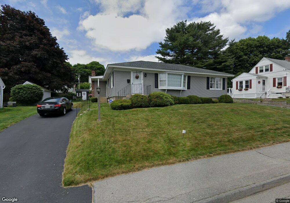
18 Davis Rd Auburn, MA 01501
Pakachoag NeighborhoodEstimated Value: $408,000 - $440,000
2
Beds
2
Baths
1,303
Sq Ft
$322/Sq Ft
Est. Value
About This Home
This home is located at 18 Davis Rd, Auburn, MA 01501 and is currently estimated at $420,000, approximately $322 per square foot. 18 Davis Rd is a home located in Worcester County with nearby schools including Auburn Senior High School and St Peter Central Catholic Elementary School.
Ownership History
Date
Name
Owned For
Owner Type
Purchase Details
Closed on
Jul 30, 2014
Sold by
Warren Dennis A and Warren Doris E
Bought by
Warren Doris E
Current Estimated Value
Purchase Details
Closed on
Jun 6, 1972
Bought by
Warren Doris E
Create a Home Valuation Report for This Property
The Home Valuation Report is an in-depth analysis detailing your home's value as well as a comparison with similar homes in the area
Home Values in the Area
Average Home Value in this Area
Purchase History
| Date | Buyer | Sale Price | Title Company |
|---|---|---|---|
| Warren Doris E | -- | -- | |
| Warren Doris E | $19,300 | -- |
Source: Public Records
Mortgage History
| Date | Status | Borrower | Loan Amount |
|---|---|---|---|
| Previous Owner | Warren Doris E | $10,000 |
Source: Public Records
Tax History Compared to Growth
Tax History
| Year | Tax Paid | Tax Assessment Tax Assessment Total Assessment is a certain percentage of the fair market value that is determined by local assessors to be the total taxable value of land and additions on the property. | Land | Improvement |
|---|---|---|---|---|
| 2025 | $50 | $347,300 | $123,600 | $223,700 |
| 2024 | $4,981 | $333,600 | $117,000 | $216,600 |
| 2023 | $4,797 | $302,100 | $106,400 | $195,700 |
| 2022 | $4,503 | $267,700 | $106,400 | $161,300 |
| 2021 | $4,261 | $234,900 | $93,900 | $141,000 |
| 2020 | $4,224 | $234,900 | $93,900 | $141,000 |
| 2019 | $4,069 | $220,900 | $92,900 | $128,000 |
| 2018 | $3,832 | $207,800 | $86,900 | $120,900 |
| 2017 | $3,662 | $199,700 | $78,800 | $120,900 |
| 2016 | $3,439 | $190,100 | $82,000 | $108,100 |
| 2015 | $3,214 | $186,200 | $82,000 | $104,200 |
| 2014 | $3,022 | $174,800 | $78,100 | $96,700 |
Source: Public Records
Map
Nearby Homes
- 22 Lesley Ave
- 61 Elmwood St
- 6 Newton St
- 37 Elmwood St
- 204-212 Hampton St
- 72 Sophia Dr
- 30 Davenport St
- 55 Tennyson St
- 29 Steele St
- 10 Steele St
- 2 Mystic St
- 3 Lower Windbrook Dr
- 2 Breezy Bend
- 17 Thenius St
- 47 Washington St Unit 26
- 78 Greenwood St
- 557 SW Cutoff Unit 107
- 557 SW Cutoff Unit 17
- 557 SW Cutoff Unit 79
- 557 SW Cutoff Unit 35