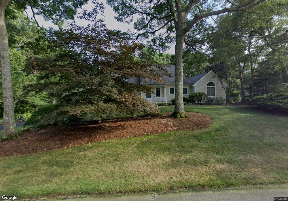
18 Eli Ln East Falmouth, MA 02536
West Falmouth NeighborhoodEstimated Value: $906,576 - $990,000
3
Beds
3
Baths
2,132
Sq Ft
$440/Sq Ft
Est. Value
About This Home
This home is located at 18 Eli Ln, East Falmouth, MA 02536 and is currently estimated at $938,894, approximately $440 per square foot. 18 Eli Ln is a home located in Barnstable County with nearby schools including Mullen-Hall School, Morse Pond School, and Lawrence School.
Ownership History
Date
Name
Owned For
Owner Type
Purchase Details
Closed on
Oct 17, 2012
Sold by
Oberlander Lori A and Oberlander David A
Bought by
Oberlander T T and Oberlander O
Current Estimated Value
Purchase Details
Closed on
May 9, 1995
Sold by
Peterson Bruce A and Peterson Nancy A
Bought by
Oberlander David A and Oberlander Lori A
Purchase Details
Closed on
Oct 2, 1992
Sold by
Dtb Inc
Bought by
Peterson Bruce A and Peterson Nancy A
Create a Home Valuation Report for This Property
The Home Valuation Report is an in-depth analysis detailing your home's value as well as a comparison with similar homes in the area
Home Values in the Area
Average Home Value in this Area
Purchase History
| Date | Buyer | Sale Price | Title Company |
|---|---|---|---|
| Oberlander T T | -- | -- | |
| Oberlander T T | -- | -- | |
| Oberlander David A | $204,000 | -- | |
| Oberlander David A | $204,000 | -- | |
| Peterson Bruce A | $42,000 | -- | |
| Peterson Bruce A | $42,000 | -- |
Source: Public Records
Mortgage History
| Date | Status | Borrower | Loan Amount |
|---|---|---|---|
| Previous Owner | Peterson Bruce A | $170,000 | |
| Previous Owner | Peterson Bruce A | $45,000 | |
| Previous Owner | Peterson Bruce A | $153,350 |
Source: Public Records
Tax History Compared to Growth
Tax History
| Year | Tax Paid | Tax Assessment Tax Assessment Total Assessment is a certain percentage of the fair market value that is determined by local assessors to be the total taxable value of land and additions on the property. | Land | Improvement |
|---|---|---|---|---|
| 2025 | $5,116 | $871,600 | $278,000 | $593,600 |
| 2024 | $4,953 | $788,700 | $248,200 | $540,500 |
| 2023 | $4,187 | $605,100 | $198,500 | $406,600 |
| 2022 | $4,085 | $507,400 | $172,400 | $335,000 |
| 2021 | $3,908 | $459,800 | $164,900 | $294,900 |
| 2020 | $3,821 | $444,800 | $149,900 | $294,900 |
| 2019 | $3,747 | $437,700 | $149,900 | $287,800 |
| 2018 | $3,682 | $428,100 | $149,900 | $278,200 |
| 2017 | $3,551 | $416,300 | $149,900 | $266,400 |
| 2016 | $3,484 | $416,300 | $149,900 | $266,400 |
| 2015 | $3,409 | $416,300 | $149,900 | $266,400 |
| 2014 | $3,417 | $419,300 | $154,600 | $264,700 |
Source: Public Records
Map
Nearby Homes
- 34 Mckenna Ridge Rd
- 61 Mckenna Ridge Dr
- 4 Josiah Path
- 7 Josiah Path
- 18 Josiah Path
- 20 Josiah Path
- 21 Josiah Path
- 30 Josiah Path
- 12 Beach Plum Path
- 113 Blacksmith Shop Rd
- 12 Rock Hollow Dr
- 70 Westmoreland Dr
- 106 Ambleside Dr
- 37 Katelyn Hills Dr
- 59 Whitecaps Dr
- 4 Ambleside Dr
- 850 W Falmouth Hwy Unit 11
- 908 W Falmouth Hwy
- 275 W Falmouth Hwy