18 Evergreen Dr Acushnet, MA 02743
Upper Acushnet NeighborhoodEstimated Value: $722,000 - $855,000
--
Bed
3
Baths
2,352
Sq Ft
$324/Sq Ft
Est. Value
About This Home
This home is located at 18 Evergreen Dr, Acushnet, MA 02743 and is currently estimated at $760,980, approximately $323 per square foot. 18 Evergreen Dr is a home located in Bristol County with nearby schools including Acushnet Elementary School, Albert F Ford Middle School, and St Francis Xavier Elementary School.
Ownership History
Date
Name
Owned For
Owner Type
Purchase Details
Closed on
Apr 30, 2019
Sold by
Morrison James J and Morrison Deborah A
Bought by
Morrison Lt
Current Estimated Value
Purchase Details
Closed on
Jun 9, 2006
Sold by
Bacs Group Inc
Bought by
Morrison Deborah A and Morrison James J
Home Financials for this Owner
Home Financials are based on the most recent Mortgage that was taken out on this home.
Original Mortgage
$189,000
Interest Rate
6.62%
Mortgage Type
Purchase Money Mortgage
Create a Home Valuation Report for This Property
The Home Valuation Report is an in-depth analysis detailing your home's value as well as a comparison with similar homes in the area
Home Values in the Area
Average Home Value in this Area
Purchase History
| Date | Buyer | Sale Price | Title Company |
|---|---|---|---|
| Morrison Lt | -- | -- | |
| Morrison Deborah A | $210,000 | -- |
Source: Public Records
Mortgage History
| Date | Status | Borrower | Loan Amount |
|---|---|---|---|
| Previous Owner | Morrison Deborah A | $390,390 | |
| Previous Owner | Morrison Deborah A | $387,896 | |
| Previous Owner | Morrison Deborah A | $189,000 |
Source: Public Records
Tax History Compared to Growth
Tax History
| Year | Tax Paid | Tax Assessment Tax Assessment Total Assessment is a certain percentage of the fair market value that is determined by local assessors to be the total taxable value of land and additions on the property. | Land | Improvement |
|---|---|---|---|---|
| 2025 | $74 | $686,800 | $192,100 | $494,700 |
| 2024 | $6,965 | $610,400 | $168,100 | $442,300 |
| 2023 | $6,920 | $576,700 | $153,100 | $423,600 |
| 2022 | $6,555 | $494,000 | $144,100 | $349,900 |
| 2021 | $6,432 | $465,100 | $144,100 | $321,000 |
| 2020 | $6,483 | $465,100 | $144,100 | $321,000 |
| 2019 | $6,467 | $456,100 | $144,100 | $312,000 |
| 2018 | $6,290 | $436,200 | $144,100 | $292,100 |
| 2017 | $6,110 | $423,100 | $144,100 | $279,000 |
| 2016 | $5,857 | $403,100 | $144,100 | $259,000 |
| 2015 | $5,756 | $403,100 | $144,100 | $259,000 |
Source: Public Records
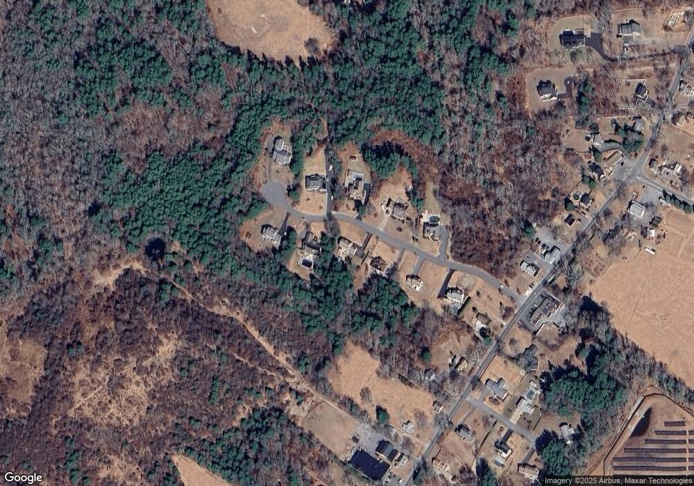
Map
Nearby Homes