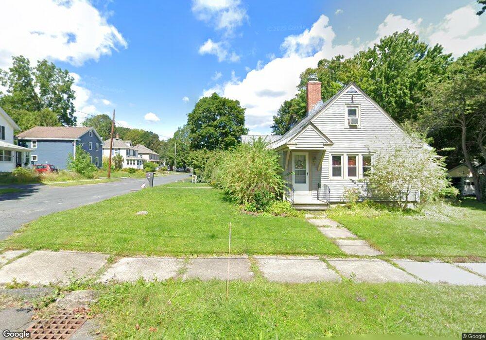
18 Field St Dalton, MA 01226
Estimated Value: $283,000 - $329,842
4
Beds
2
Baths
1,856
Sq Ft
$169/Sq Ft
Est. Value
About This Home
This home is located at 18 Field St, Dalton, MA 01226 and is currently estimated at $313,961, approximately $169 per square foot. 18 Field St is a home located in Berkshire County with nearby schools including Wahconah Regional High School, St. Agnes Academy, and Sacred Heart School.
Ownership History
Date
Name
Owned For
Owner Type
Purchase Details
Closed on
Dec 10, 2024
Sold by
Harding Gerould B
Bought by
Harding Gerould B and Gromadzki Linda B
Current Estimated Value
Purchase Details
Closed on
Apr 16, 2004
Sold by
Blue Heron Rt
Bought by
Harding Gerould B
Home Financials for this Owner
Home Financials are based on the most recent Mortgage that was taken out on this home.
Original Mortgage
$89,600
Interest Rate
5.58%
Mortgage Type
Purchase Money Mortgage
Purchase Details
Closed on
Oct 31, 2002
Sold by
Escher David B and Escher Carolyn P
Bought by
Blue Heron Rt
Create a Home Valuation Report for This Property
The Home Valuation Report is an in-depth analysis detailing your home's value as well as a comparison with similar homes in the area
Home Values in the Area
Average Home Value in this Area
Purchase History
| Date | Buyer | Sale Price | Title Company |
|---|---|---|---|
| Harding Gerould B | -- | None Available | |
| Harding Gerould B | -- | None Available | |
| Harding Gerould B | -- | None Available | |
| Harding Gerould B | $112,000 | -- | |
| Blue Heron Rt | $118,000 | -- | |
| Harding Gerould B | $112,000 | -- | |
| Blue Heron Rt | $118,000 | -- |
Source: Public Records
Mortgage History
| Date | Status | Borrower | Loan Amount |
|---|---|---|---|
| Previous Owner | Blue Heron Rt | $89,600 |
Source: Public Records
Tax History Compared to Growth
Tax History
| Year | Tax Paid | Tax Assessment Tax Assessment Total Assessment is a certain percentage of the fair market value that is determined by local assessors to be the total taxable value of land and additions on the property. | Land | Improvement |
|---|---|---|---|---|
| 2025 | $5,667 | $312,600 | $57,300 | $255,300 |
| 2024 | $5,163 | $283,700 | $52,700 | $231,000 |
| 2023 | $4,192 | $241,000 | $46,700 | $194,300 |
| 2022 | $4,192 | $202,100 | $46,700 | $155,400 |
| 2021 | $4,270 | $198,500 | $44,500 | $154,000 |
| 2020 | $3,865 | $190,500 | $44,500 | $146,000 |
| 2019 | $3,099 | $159,100 | $45,000 | $114,100 |
| 2018 | $3,082 | $154,800 | $45,000 | $109,800 |
| 2017 | $3,076 | $154,800 | $45,000 | $109,800 |
| 2016 | $3,039 | $154,800 | $45,000 | $109,800 |
| 2015 | $2,989 | $153,500 | $45,000 | $108,500 |
Source: Public Records
Map
Nearby Homes
- 321 High St
- 750 Main St
- 774 Main St
- 66 Oak Street Extension
- 188 North St
- 18 Chestnut St
- 60 Franklin St
- 56 Tower Rd
- 48 Mountain View Terrace
- 9 Crane Ave
- 39 Barton Hill Rd
- 0 Crane Ave Suite 2 -- Unit 248430
- 0 Crane Ave Suite 1 -- Unit 248429
- 17 Sunnyside Dr
- 0 Crane Ave
- 249 Orchard Rd
- 144 Kittredge Rd
- 190 Fox Rd
- 1 Pondview Dr Unit C3
- 63 Asci Dr