18 Firnstone Ct Greenville, SC 29607
Estimated Value: $514,291 - $696,000
3
Beds
3
Baths
3,280
Sq Ft
$184/Sq Ft
Est. Value
About This Home
This home is located at 18 Firnstone Ct, Greenville, SC 29607 and is currently estimated at $603,823, approximately $184 per square foot. 18 Firnstone Ct is a home located in Greenville County with nearby schools including Sara Collins Elementary School, Dr. Phinnize J. Fisher Middle, and J. L. Mann High Academy.
Ownership History
Date
Name
Owned For
Owner Type
Purchase Details
Closed on
Aug 31, 2006
Sold by
Poinsett Homes Llc
Bought by
Dalton Robert E and Dalton Sheryl L
Current Estimated Value
Home Financials for this Owner
Home Financials are based on the most recent Mortgage that was taken out on this home.
Original Mortgage
$253,821
Outstanding Balance
$152,927
Interest Rate
6.73%
Mortgage Type
Purchase Money Mortgage
Estimated Equity
$450,896
Create a Home Valuation Report for This Property
The Home Valuation Report is an in-depth analysis detailing your home's value as well as a comparison with similar homes in the area
Home Values in the Area
Average Home Value in this Area
Purchase History
| Date | Buyer | Sale Price | Title Company |
|---|---|---|---|
| Dalton Robert E | $353,821 | None Available |
Source: Public Records
Mortgage History
| Date | Status | Borrower | Loan Amount |
|---|---|---|---|
| Open | Dalton Robert E | $253,821 |
Source: Public Records
Tax History Compared to Growth
Tax History
| Year | Tax Paid | Tax Assessment Tax Assessment Total Assessment is a certain percentage of the fair market value that is determined by local assessors to be the total taxable value of land and additions on the property. | Land | Improvement |
|---|---|---|---|---|
| 2024 | $2,122 | $14,060 | $2,000 | $12,060 |
| 2023 | $2,122 | $14,060 | $2,000 | $12,060 |
| 2022 | $2,045 | $14,060 | $2,000 | $12,060 |
| 2021 | $2,046 | $14,060 | $2,000 | $12,060 |
| 2020 | $1,906 | $12,370 | $1,720 | $10,650 |
| 2019 | $1,835 | $12,370 | $1,720 | $10,650 |
| 2018 | $1,962 | $12,370 | $1,720 | $10,650 |
| 2017 | $1,967 | $12,370 | $1,720 | $10,650 |
| 2016 | $1,883 | $309,360 | $43,000 | $266,360 |
| 2015 | $1,886 | $309,360 | $43,000 | $266,360 |
| 2014 | $2,073 | $343,050 | $64,000 | $279,050 |
Source: Public Records
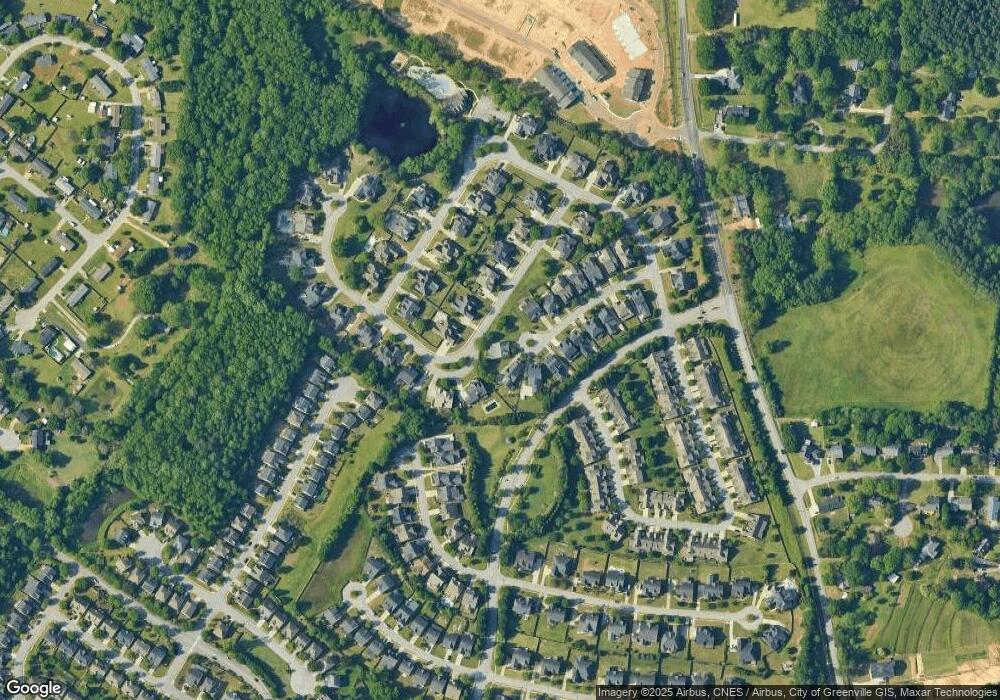
Map
Nearby Homes
- 237 Barbours Ln
- 4 Weston Brook Way
- 15 Windrush Ln
- 6 Pond Bluff Ln
- 28 Barnwood Cir Unit 7A
- 28 Barnwood Cir Unit 7A-PH
- 45 Barnwood Cir
- 40 Barnwood Cir Unit 5A
- 109 Callen Dr
- 0 Miller Rd
- 1 Miller Rd
- 110 Callen Dr
- The Princeton A Plan at Miller Park
- The Carson Plan at Miller Park
- The Princeton B Plan at Miller Park
- The Kensington A Plan at Miller Park
- The Beckett Plan at Miller Park
- 224 Taylor Woods Ct
- 226 Taylor Woods Ct
- 228 Taylor Woods Ct
- 20 Firnstone Ct
- 19 Pond Bluff Ln
- 17 Firnstone Ct
- 20 Pond Bluff Ln
- 18 Pond Bluff Ln
- 14 Firnstone Ct
- 15 Firnstone Ct
- 14 Pond Bluff Ln
- 12 Firnstone Ct
- 11 Firnstone Ct
- 23 Pond Bluff Ln
- 9 Firnstone Ct
- 10 Firnstone Ct
- 27 Pond Bluff Ln
- 227 Little Pond Dr
- 223 Little Pond Dr
- 10 Pond Bluff Ln
- 7 Firnstone Ct
- 2 Barnwood Cir Unit 10D
- 14 Parkhaven Way