Estimated Value: $558,000 - $763,000
3
Beds
2
Baths
1,737
Sq Ft
$385/Sq Ft
Est. Value
About This Home
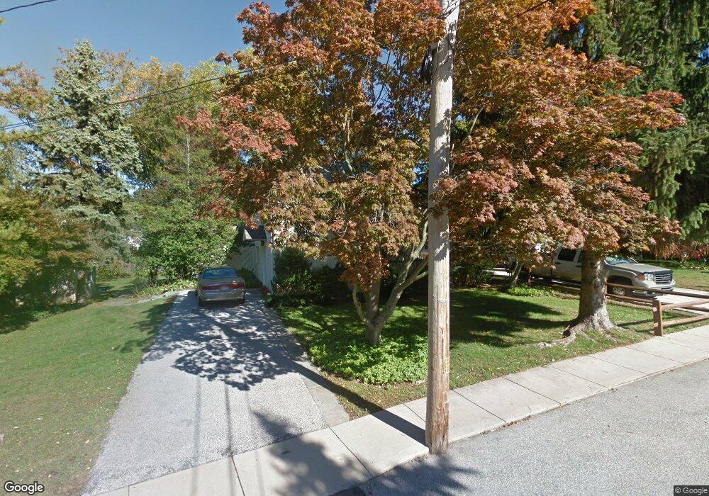
This home is located at 18 Forrest Ln, Wayne, PA 19087 and is currently estimated at $669,425, approximately $385 per square foot. 18 Forrest Ln is a home located in Delaware County with nearby schools including Wayne Elementary School, Radnor Middle School, and Radnor Senior High School.
Ownership History
Date
Name
Owned For
Owner Type
Purchase Details
Closed on
Jul 10, 2017
Sold by
Mirabello Francis J and Matthews V Hamilton S
Bought by
Mirabello Hamilton S and Mirabello Francis J
Current Estimated Value
Purchase Details
Closed on
Apr 29, 2003
Sold by
Fisher Madeleine L
Bought by
Lament James W and Ashdale Lament Elizabeth A
Home Financials for this Owner
Home Financials are based on the most recent Mortgage that was taken out on this home.
Original Mortgage
$250,000
Interest Rate
5.82%
Mortgage Type
Purchase Money Mortgage
Create a Home Valuation Report for This Property
The Home Valuation Report is an in-depth analysis detailing your home's value as well as a comparison with similar homes in the area
Home Values in the Area
Average Home Value in this Area
Purchase History
| Date | Buyer | Sale Price | Title Company |
|---|---|---|---|
| Mirabello Hamilton S | -- | None Available | |
| Lament James W | -- | Commonwealth Land Title Insu |
Source: Public Records
Mortgage History
| Date | Status | Borrower | Loan Amount |
|---|---|---|---|
| Closed | Lament James W | $250,000 |
Source: Public Records
Tax History
| Year | Tax Paid | Tax Assessment Tax Assessment Total Assessment is a certain percentage of the fair market value that is determined by local assessors to be the total taxable value of land and additions on the property. | Land | Improvement |
|---|---|---|---|---|
| 2025 | $8,356 | $413,310 | $134,200 | $279,110 |
| 2024 | $8,356 | $413,310 | $134,200 | $279,110 |
| 2023 | $8,025 | $413,310 | $134,200 | $279,110 |
| 2022 | $7,938 | $413,310 | $134,200 | $279,110 |
| 2021 | $12,750 | $413,310 | $134,200 | $279,110 |
| 2020 | $5,866 | $168,630 | $65,910 | $102,720 |
| 2019 | $5,701 | $168,630 | $65,910 | $102,720 |
| 2018 | $5,589 | $168,630 | $0 | $0 |
| 2017 | $5,472 | $168,630 | $0 | $0 |
| 2016 | $925 | $168,630 | $0 | $0 |
| 2015 | $925 | $168,630 | $0 | $0 |
| 2014 | $925 | $168,630 | $0 | $0 |
Source: Public Records
Map
Nearby Homes
- 301 Eagle Rd
- 443 Homestead Rd
- 116 Morningside Cir
- 93 Hillside Rd
- 412 Fairview Dr
- 211 Deepdale Rd
- 203 Church St
- 120 Eaton Dr
- 155 Eaton Dr
- 50 Fariston Rd
- 211 Bella Vista Rd
- 120 S Devon Ave
- 131 Sugartown Rd
- 457 School House Ln
- 245 Willow Ave
- 205 N Aberdeen Ave
- 658 Brooke Rd
- Lot 4 Rose Glenn
- Lot 5 Rose Glenn
- 1052 Eagle Rd
Your Personal Tour Guide
Ask me questions while you tour the home.