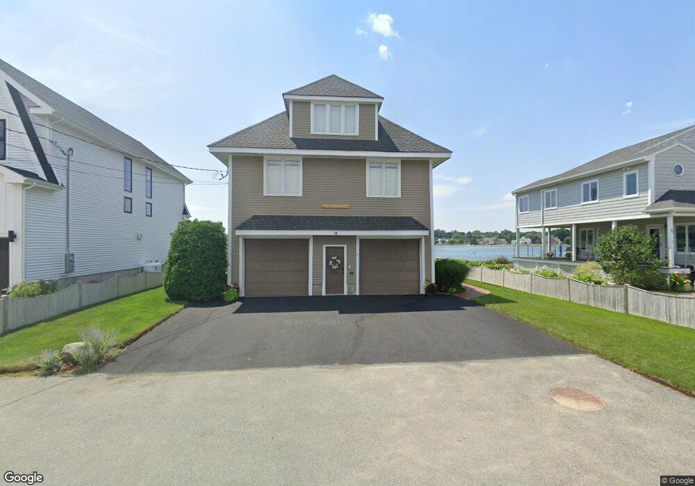
18 Fosters Point Beverly, MA 01915
Ryal Side NeighborhoodEstimated Value: $1,404,000 - $1,939,000
3
Beds
3
Baths
2,770
Sq Ft
$581/Sq Ft
Est. Value
About This Home
This home is located at 18 Fosters Point, Beverly, MA 01915 and is currently estimated at $1,608,537, approximately $580 per square foot. 18 Fosters Point is a home located in Essex County with nearby schools including Beverly High School, Mrs Alexander's School, and The Saints Academy.
Ownership History
Date
Name
Owned For
Owner Type
Purchase Details
Closed on
Jun 16, 2020
Sold by
Clarke Sheila A
Bought by
Sheila A Clarke 1995 T A and Sheila Clarke
Current Estimated Value
Purchase Details
Closed on
Jun 1, 2007
Sold by
Bunk Donna M and Bunk Jeffrey S
Bought by
Clarke Sheila A
Home Financials for this Owner
Home Financials are based on the most recent Mortgage that was taken out on this home.
Original Mortgage
$760,000
Interest Rate
6%
Mortgage Type
Purchase Money Mortgage
Purchase Details
Closed on
Aug 17, 1993
Sold by
Cox Beatrice R and Cox Barbara
Bought by
Bunk Jeffrey S and Bunk Donna M
Home Financials for this Owner
Home Financials are based on the most recent Mortgage that was taken out on this home.
Original Mortgage
$90,000
Interest Rate
7.16%
Mortgage Type
Purchase Money Mortgage
Create a Home Valuation Report for This Property
The Home Valuation Report is an in-depth analysis detailing your home's value as well as a comparison with similar homes in the area
Home Values in the Area
Average Home Value in this Area
Purchase History
| Date | Buyer | Sale Price | Title Company |
|---|---|---|---|
| Sheila A Clarke 1995 T A | -- | None Available | |
| Clarke Sheila A | $950,000 | -- | |
| Bunk Jeffrey S | $135,000 | -- |
Source: Public Records
Mortgage History
| Date | Status | Borrower | Loan Amount |
|---|---|---|---|
| Previous Owner | Bunk Jeffrey S | $760,000 | |
| Previous Owner | Bunk Jeffrey S | $90,000 |
Source: Public Records
Tax History
| Year | Tax Paid | Tax Assessment Tax Assessment Total Assessment is a certain percentage of the fair market value that is determined by local assessors to be the total taxable value of land and additions on the property. | Land | Improvement |
|---|---|---|---|---|
| 2025 | $14,764 | $1,343,400 | $722,500 | $620,900 |
| 2024 | $14,259 | $1,269,700 | $648,800 | $620,900 |
| 2023 | $13,799 | $1,225,500 | $604,600 | $620,900 |
| 2022 | $13,643 | $1,121,000 | $497,700 | $623,300 |
| 2021 | $12,733 | $1,002,600 | $438,700 | $563,900 |
| 2020 | $12,437 | $969,400 | $405,500 | $563,900 |
| 2019 | $12,268 | $928,700 | $376,000 | $552,700 |
| 2015 | $12,209 | $865,300 | $265,400 | $599,900 |
Source: Public Records
Map
Nearby Homes
- 59 Riverview Ave
- 6 Mcdewell Ave Unit 4
- 13 Giles Ave Unit 2
- 76 Water St
- 123 Livingstone Ave
- 508 Elliott St
- 15 Roland Rd
- 6 Pilgrim Heights
- 147 High St
- 9 Highland St
- 27 Liberty Hill Ave
- 8 Cushing St Unit 2
- 30 Driscoll St
- 16 Oakland St
- 44 Orne St Unit 44
- 41 Northend St
- 34 Bayview Terrace Unit 5
- 108 Abington Rd Unit 108
- 12 Summit Ave Unit 4
- 21 Manning St
- 16 Fosters Point
- 14 Fosters Point
- 20 Fosters Point
- 13 Fosters Point
- 22 Fosters Point
- 28 Fosters Point
- 30 Fosters Point
- 10 Fosters Point
- 8 Fosters Point
- 7 Fosters Point
- 34 Fosters Point
- 36 Fosters Point
- 6 Fosters Point
- 40 Fosters Point
- 4 Fosters Point
- 1 Fosters Point
- 42 Fosters Point
- 2 Fosters Point
- 11 Melvin Ave
- 19 Melvin Ave
Your Personal Tour Guide
Ask me questions while you tour the home.