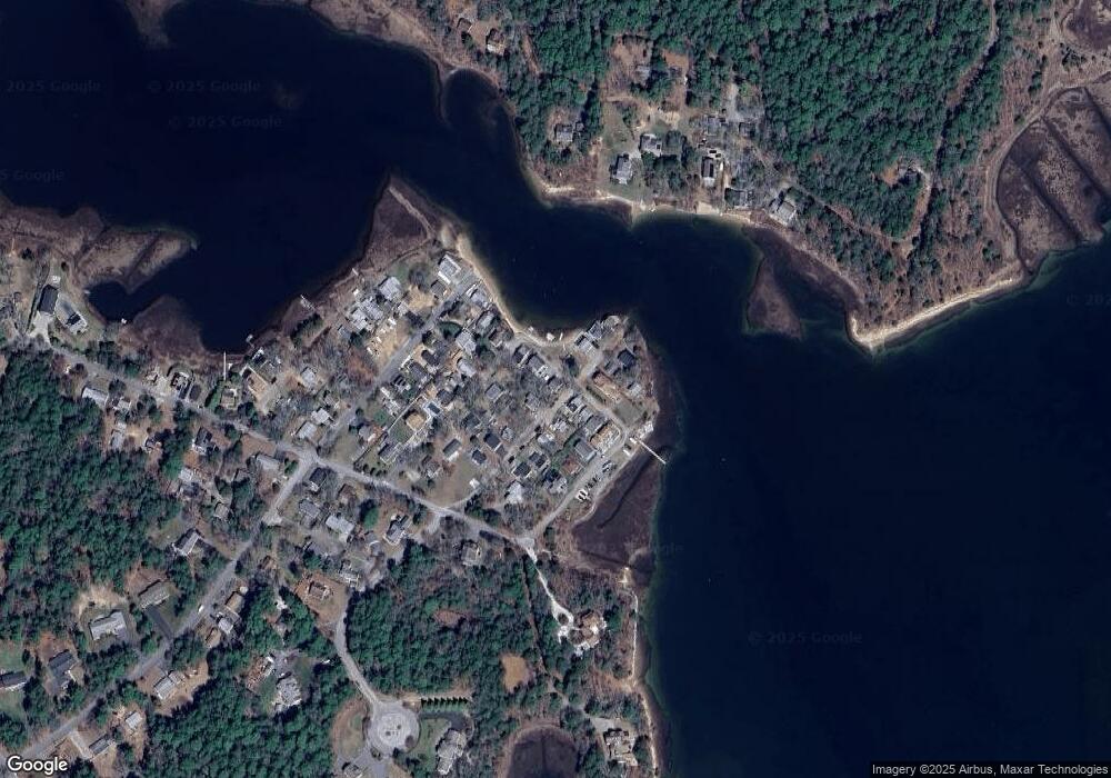
18 Franklin St Wareham, MA 02571
Estimated Value: $527,000 - $619,000
3
Beds
2
Baths
1,238
Sq Ft
$446/Sq Ft
Est. Value
About This Home
This home is located at 18 Franklin St, Wareham, MA 02571 and is currently estimated at $552,298, approximately $446 per square foot. 18 Franklin St is a home.
Ownership History
Date
Name
Owned For
Owner Type
Purchase Details
Closed on
Oct 30, 2024
Sold by
18 Grove Street Rt and Adams
Bought by
Walton Robert L and Walton Michelle E
Current Estimated Value
Home Financials for this Owner
Home Financials are based on the most recent Mortgage that was taken out on this home.
Original Mortgage
$265,000
Outstanding Balance
$261,800
Interest Rate
6.09%
Mortgage Type
Purchase Money Mortgage
Estimated Equity
$290,498
Purchase Details
Closed on
Oct 21, 2022
Sold by
Mary C Willis Ret and Willis
Bought by
18 Grove St Rt and Adams
Create a Home Valuation Report for This Property
The Home Valuation Report is an in-depth analysis detailing your home's value as well as a comparison with similar homes in the area
Purchase History
| Date | Buyer | Sale Price | Title Company |
|---|---|---|---|
| Walton Robert L | $525,000 | None Available | |
| Walton Robert L | $525,000 | None Available | |
| Walton Robert L | $525,000 | None Available | |
| 18 Grove St Rt | -- | None Available | |
| 18 Grove St Rt | -- | None Available | |
| 18 Grove St Rt | -- | None Available |
Source: Public Records
Mortgage History
| Date | Status | Borrower | Loan Amount |
|---|---|---|---|
| Open | Walton Robert L | $265,000 | |
| Closed | Walton Robert L | $265,000 |
Source: Public Records
Tax History
| Year | Tax Paid | Tax Assessment Tax Assessment Total Assessment is a certain percentage of the fair market value that is determined by local assessors to be the total taxable value of land and additions on the property. | Land | Improvement |
|---|---|---|---|---|
| 2025 | $4,611 | $419,900 | $180,600 | $239,300 |
| 2024 | $4,437 | $379,900 | $136,500 | $243,400 |
| 2023 | $4,255 | $345,900 | $124,000 | $221,900 |
| 2022 | $4,053 | $297,600 | $124,000 | $173,600 |
| 2021 | $3,830 | $273,600 | $124,000 | $149,600 |
| 2020 | $3,665 | $267,300 | $124,000 | $143,300 |
| 2019 | $3,437 | $253,500 | $117,600 | $135,900 |
| 2018 | $3,278 | $233,500 | $117,600 | $115,900 |
| 2017 | $3,257 | $233,000 | $117,600 | $115,400 |
| 2016 | $2,901 | $205,900 | $103,000 | $102,900 |
| 2015 | $2,787 | $203,400 | $103,000 | $100,400 |
| 2014 | $2,597 | $195,400 | $88,300 | $107,100 |
Source: Public Records
Map
Nearby Homes
Your Personal Tour Guide
Ask me questions while you tour the home.