18 Frostfish Cove Rd Harpswell, ME 04079
Harpswell Neck NeighborhoodEstimated Value: $635,015 - $930,000
3
Beds
2
Baths
2,184
Sq Ft
$362/Sq Ft
Est. Value
About This Home
This home is located at 18 Frostfish Cove Rd, Harpswell, ME 04079 and is currently estimated at $791,004, approximately $362 per square foot. 18 Frostfish Cove Rd is a home with nearby schools including Mt Ararat High School.
Ownership History
Date
Name
Owned For
Owner Type
Purchase Details
Closed on
May 14, 2024
Sold by
Wright Frank V and Wright Katherine P
Bought by
Wright
Current Estimated Value
Purchase Details
Closed on
May 12, 2008
Sold by
Wright 4Th Frank V
Bought by
Wright 4Th Frank V and Marlowe Katherine P
Home Financials for this Owner
Home Financials are based on the most recent Mortgage that was taken out on this home.
Original Mortgage
$55,000
Interest Rate
5.93%
Mortgage Type
Unknown
Create a Home Valuation Report for This Property
The Home Valuation Report is an in-depth analysis detailing your home's value as well as a comparison with similar homes in the area
Home Values in the Area
Average Home Value in this Area
Purchase History
| Date | Buyer | Sale Price | Title Company |
|---|---|---|---|
| Wright | -- | None Available | |
| Wright | -- | None Available | |
| Wright 4Th Frank V | -- | -- | |
| Wright 4Th Frank V | -- | -- |
Source: Public Records
Mortgage History
| Date | Status | Borrower | Loan Amount |
|---|---|---|---|
| Previous Owner | Wright 4Th Frank V | $55,000 |
Source: Public Records
Tax History Compared to Growth
Tax History
| Year | Tax Paid | Tax Assessment Tax Assessment Total Assessment is a certain percentage of the fair market value that is determined by local assessors to be the total taxable value of land and additions on the property. | Land | Improvement |
|---|---|---|---|---|
| 2024 | $2,553 | $401,400 | $134,900 | $266,500 |
| 2023 | $2,458 | $403,000 | $134,900 | $268,100 |
| 2022 | $2,378 | $403,000 | $134,900 | $268,100 |
| 2021 | $1,920 | $284,000 | $91,600 | $192,400 |
| 2020 | $1,914 | $284,000 | $91,600 | $192,400 |
| 2019 | $1,914 | $285,600 | $91,600 | $194,000 |
| 2018 | $1,851 | $285,600 | $91,600 | $194,000 |
| 2017 | $1,845 | $285,600 | $91,600 | $194,000 |
| 2016 | $1,828 | $285,600 | $91,600 | $194,000 |
| 2015 | $1,782 | $285,600 | $91,600 | $194,000 |
| 2013 | $1,607 | $278,000 | $114,500 | $163,500 |
Source: Public Records
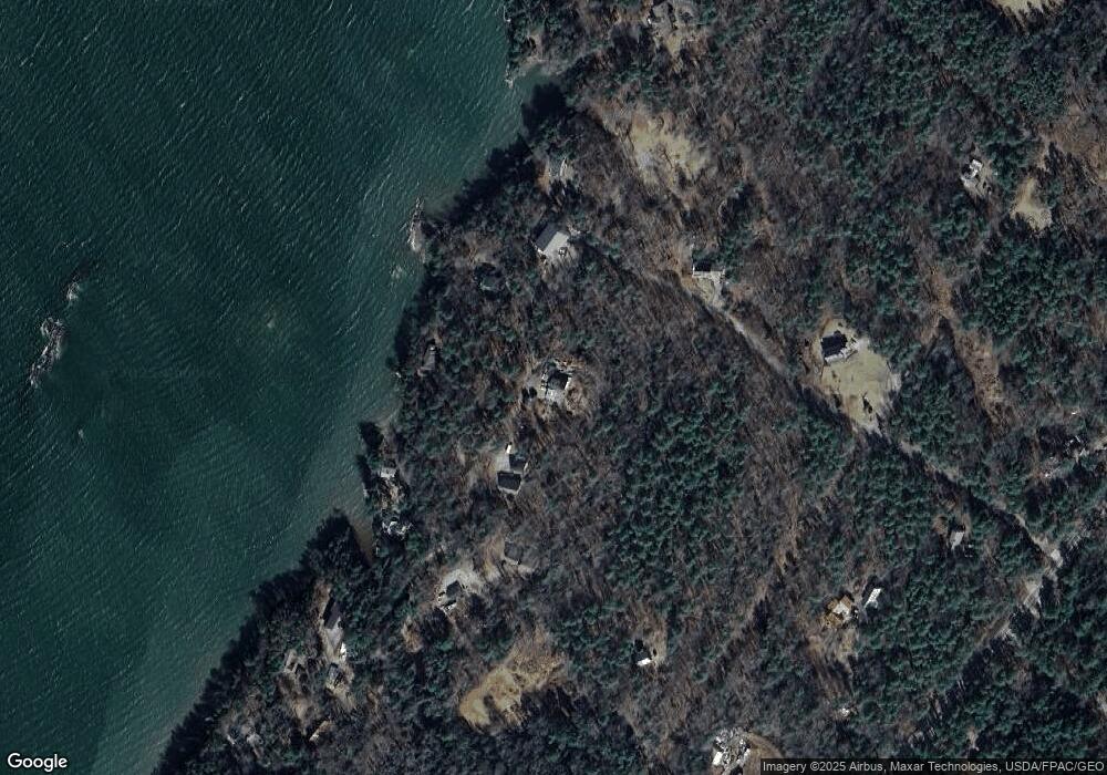
Map
Nearby Homes
- Map 80 Lot 18-0 White Island
- Lot 129 Harpswell Neck Rd
- 270 Harpswell Neck Rd
- Lot 2A Allen Point Rd
- Lot 2B Allen Point Rd
- 46 Blackstone Club Rd
- 41 Spruce Brook Dr
- 853 Mere Point Rd
- 11 Orion Point Way
- 83 Central Ave
- 1 Mallard Pond Rd
- 242 Long Reach Ln
- 0 Bayview Rd Unit 2 1632776
- 37 & 38 S Dyers Cove Rd
- 0 Gundalo Gap Rd Unit 1638108
- lot C Long Point Rd
- 136 Bethel Point Rd
- 1450 Harpswell Neck Rd
- 1689 Harpswell Islands Rd
- 20 Long Point Island
- 27 Frostfish Cove Rd
- 9 Frostfish Cove Rd
- 29 Frostfish Cove Rd
- 12 Frostfish Cove Rd
- 46 Lot Five Rd
- 44 Tommy Cod Ln
- 7 Rum Cave Rd
- 47 Frostfish Cove Rd
- 22 Tommy Cod Ln
- 0 Dorie Dr Unit 576473
- 0 Dorie Dr Unit 717240
- 0 Dorie Dr Unit 574263
- 0 Dorie Dr Unit 904257
- 0 Dorie Dr Unit 1479526
- 0 Dorie Dr Unit 949339
- 0 Dorie Dr Unit 998368
- 0 Dorie Dr Unit 1263449
- 0 Dorie Dr Unit 1360159
- 22 Dorie Dr
- 0 Lot 5 Rd