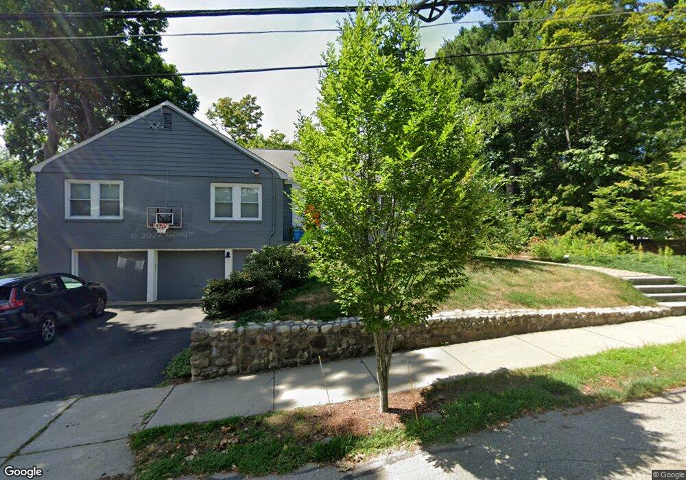
18 Garfield St Watertown, MA 02472
East Watertown NeighborhoodEstimated Value: $1,351,000 - $1,454,000
3
Beds
3
Baths
1,896
Sq Ft
$737/Sq Ft
Est. Value
About This Home
This home is located at 18 Garfield St, Watertown, MA 02472 and is currently estimated at $1,396,511, approximately $736 per square foot. 18 Garfield St is a home located in Middlesex County with nearby schools including St. Stephen's Armenian Elementary School, The Kendall School, and Atrium School.
Ownership History
Date
Name
Owned For
Owner Type
Purchase Details
Closed on
Aug 13, 2015
Sold by
Bruzzese Diane M
Bought by
Cross Ellen and Finton Andrew D
Current Estimated Value
Home Financials for this Owner
Home Financials are based on the most recent Mortgage that was taken out on this home.
Original Mortgage
$417,000
Outstanding Balance
$165,535
Interest Rate
4.08%
Mortgage Type
New Conventional
Estimated Equity
$1,230,976
Create a Home Valuation Report for This Property
The Home Valuation Report is an in-depth analysis detailing your home's value as well as a comparison with similar homes in the area
Home Values in the Area
Average Home Value in this Area
Purchase History
| Date | Buyer | Sale Price | Title Company |
|---|---|---|---|
| Cross Ellen | $710,000 | -- |
Source: Public Records
Mortgage History
| Date | Status | Borrower | Loan Amount |
|---|---|---|---|
| Open | Cross Ellen | $417,000 | |
| Closed | Cross Ellen | $417,000 |
Source: Public Records
Tax History Compared to Growth
Tax History
| Year | Tax Paid | Tax Assessment Tax Assessment Total Assessment is a certain percentage of the fair market value that is determined by local assessors to be the total taxable value of land and additions on the property. | Land | Improvement |
|---|---|---|---|---|
| 2025 | $14,532 | $1,244,200 | $768,100 | $476,100 |
| 2024 | $14,024 | $1,198,600 | $737,300 | $461,300 |
| 2023 | $14,888 | $1,096,300 | $659,700 | $436,600 |
| 2022 | $13,193 | $995,700 | $605,300 | $390,400 |
| 2021 | $11,057 | $902,600 | $512,200 | $390,400 |
| 2020 | $10,769 | $887,100 | $496,700 | $390,400 |
| 2019 | $10,368 | $805,000 | $473,400 | $331,600 |
| 2018 | $10,625 | $788,800 | $473,400 | $315,400 |
| 2017 | $8,990 | $647,200 | $434,600 | $212,600 |
| 2016 | $7,971 | $582,700 | $434,600 | $148,100 |
| 2015 | $8,292 | $551,700 | $403,600 | $148,100 |
| 2014 | $8,253 | $551,700 | $403,600 | $148,100 |
Source: Public Records
Map
Nearby Homes
- 235 Mount Auburn St
- 25 Barnard Ave
- 11 Broadway Unit 11
- 67 Walnut St
- 20 Oakley Rd
- 68 Barnard Ave
- 55 Phillips St
- 118 Spring St Unit 118
- 188 School St
- 24-26 Louise St
- 93 Spring St Unit 29
- 194 N Beacon St
- 152 Bellevue Rd
- 68 Lovell Rd
- 21 Fayette St Unit 1
- 456 Belmont St Unit 10
- 456 Belmont St Unit 21
- 101 N Beacon St Unit 206
- 15-17 Porter St
- 172 Maplewood St
- 24 Garfield St
- 17 Bates Rd E
- 260 Mt Auburn St Unit 2E
- 260 Mount Auburn St Unit 2A
- 260 Mount Auburn St
- 260 Mount Auburn St Unit 1B
- 260 Mount Auburn St Unit 1F
- 260 Mount Auburn St Unit 1C
- 25 Bates Rd
- 11 Bates Rd E
- 11 Bates Rd E Unit 11
- 33 Bates Rd
- 33 Bates Rd Unit 33
- 270 Mount Auburn St
- 31 Bates Rd Unit 31
- 254 Mount Auburn St Unit B
- 254 Mount Auburn St Unit A
- 254 Mount Auburn St Unit Rt
- 254 Mount Auburn St Unit 2
- 254 Mt Auburn St Unit B