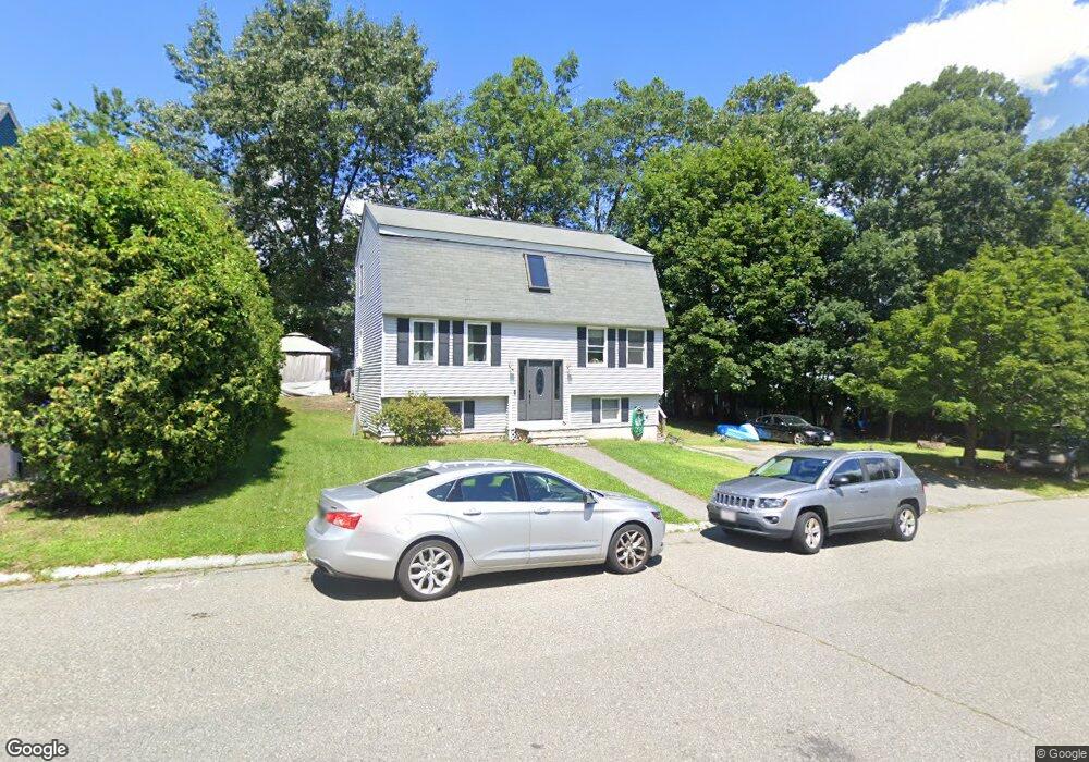
18 Gervais Way Methuen, MA 01844
Downtown Methuen NeighborhoodEstimated Value: $531,000 - $635,000
3
Beds
2
Baths
1,564
Sq Ft
$379/Sq Ft
Est. Value
About This Home
This home is located at 18 Gervais Way, Methuen, MA 01844 and is currently estimated at $593,462, approximately $379 per square foot. 18 Gervais Way is a home located in Essex County with nearby schools including Mendota Elementary School, Tenney Grammar School, and South Point Elementary School.
Ownership History
Date
Name
Owned For
Owner Type
Purchase Details
Closed on
Apr 17, 1992
Sold by
James R Companies Inc
Bought by
Madore Wayne M
Current Estimated Value
Home Financials for this Owner
Home Financials are based on the most recent Mortgage that was taken out on this home.
Original Mortgage
$121,500
Interest Rate
8.75%
Mortgage Type
Purchase Money Mortgage
Create a Home Valuation Report for This Property
The Home Valuation Report is an in-depth analysis detailing your home's value as well as a comparison with similar homes in the area
Home Values in the Area
Average Home Value in this Area
Purchase History
| Date | Buyer | Sale Price | Title Company |
|---|---|---|---|
| Madore Wayne M | $135,000 | -- | |
| Madore Wayne M | $135,000 | -- |
Source: Public Records
Mortgage History
| Date | Status | Borrower | Loan Amount |
|---|---|---|---|
| Closed | Madore Wayne M | $121,500 |
Source: Public Records
Tax History Compared to Growth
Tax History
| Year | Tax Paid | Tax Assessment Tax Assessment Total Assessment is a certain percentage of the fair market value that is determined by local assessors to be the total taxable value of land and additions on the property. | Land | Improvement |
|---|---|---|---|---|
| 2025 | $5,443 | $514,500 | $216,300 | $298,200 |
| 2024 | $5,127 | $472,100 | $190,000 | $282,100 |
| 2023 | $4,900 | $418,800 | $168,000 | $250,800 |
| 2022 | $4,785 | $366,700 | $146,100 | $220,600 |
| 2021 | $4,540 | $344,200 | $138,800 | $205,400 |
| 2020 | $4,438 | $330,200 | $138,800 | $191,400 |
| 2019 | $4,226 | $297,800 | $131,500 | $166,300 |
| 2018 | $3,974 | $278,500 | $124,200 | $154,300 |
| 2017 | $3,947 | $269,400 | $124,200 | $145,200 |
| 2016 | $3,857 | $260,400 | $124,200 | $136,200 |
| 2015 | $3,651 | $250,100 | $116,900 | $133,200 |
Source: Public Records
Map
Nearby Homes
- 210 Oakland Ave
- 214-216 Oakland Ave
- 214 Oakland Ave Unit 216
- 206 Oakland Ave
- 15 Gervais Way
- 15 Gervais Way Unit 15
- 15 Gervais Way Unit 1
- 17 Gervais Way
- 14 Gervais Way
- 218 Oakland Ave
- 218 1/2 Oakland Ave
- 7 Gervais Way
- 9 Gervais Way
- 202 Oakland Ave
- 11 Gervais Way
- 209 Oakland Ave
- 207 Oakland Ave
- 200 Oakland Ave
- 205 Oakland Ave
- 3 Gervais Way