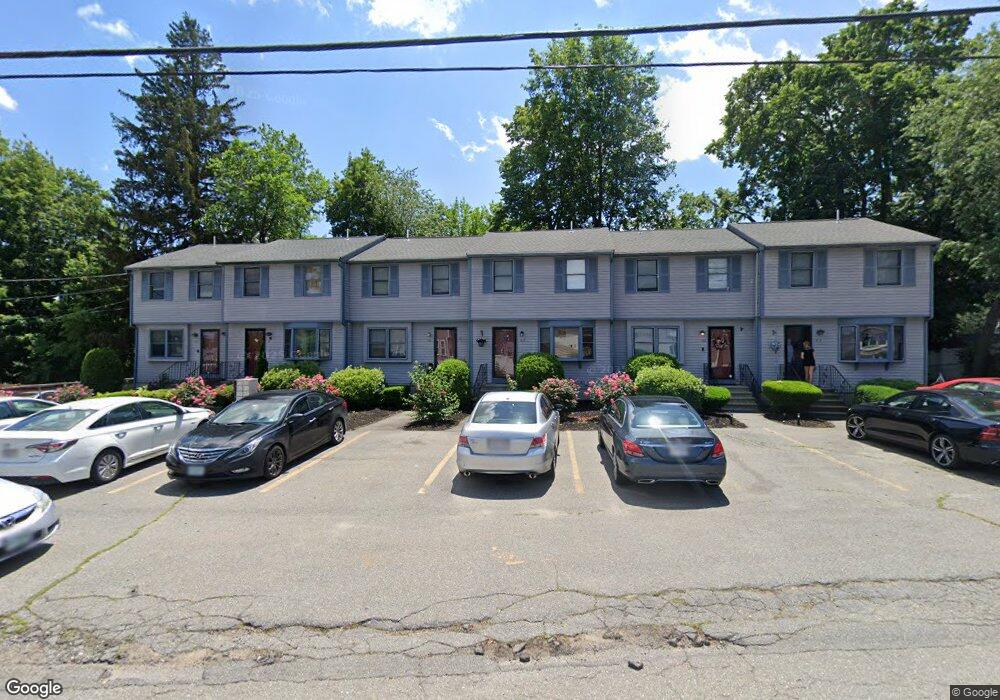
18 Gilmore St Unit F Lowell, MA 01854
Pawtucketville NeighborhoodEstimated Value: $283,000 - $431,000
2
Beds
2
Baths
998
Sq Ft
$350/Sq Ft
Est. Value
About This Home
This home is located at 18 Gilmore St Unit F, Lowell, MA 01854 and is currently estimated at $349,443, approximately $350 per square foot. 18 Gilmore St Unit F is a home located in Middlesex County with nearby schools including Joseph McAvinnue Elementary School, Charlotte M. Murkland Elementary School, and Charles W. Morey Elementary School.
Ownership History
Date
Name
Owned For
Owner Type
Purchase Details
Closed on
Nov 30, 2001
Sold by
Mitchell Stephanie A and Savary Cherie
Bought by
Geoffroy Raymond P and Geoffroy Deborah S
Current Estimated Value
Home Financials for this Owner
Home Financials are based on the most recent Mortgage that was taken out on this home.
Original Mortgage
$100,000
Interest Rate
6.66%
Mortgage Type
Purchase Money Mortgage
Create a Home Valuation Report for This Property
The Home Valuation Report is an in-depth analysis detailing your home's value as well as a comparison with similar homes in the area
Home Values in the Area
Average Home Value in this Area
Purchase History
| Date | Buyer | Sale Price | Title Company |
|---|---|---|---|
| Geoffroy Raymond P | $134,900 | -- |
Source: Public Records
Mortgage History
| Date | Status | Borrower | Loan Amount |
|---|---|---|---|
| Open | Geoffroy Raymond P | $101,800 | |
| Closed | Geoffroy Raymond P | $100,000 |
Source: Public Records
Tax History Compared to Growth
Tax History
| Year | Tax Paid | Tax Assessment Tax Assessment Total Assessment is a certain percentage of the fair market value that is determined by local assessors to be the total taxable value of land and additions on the property. | Land | Improvement |
|---|---|---|---|---|
| 2025 | $2,825 | $246,100 | $0 | $246,100 |
| 2024 | $2,665 | $223,800 | $0 | $223,800 |
| 2023 | $2,460 | $198,100 | $0 | $198,100 |
| 2022 | $2,401 | $189,200 | $0 | $189,200 |
| 2021 | $2,286 | $169,800 | $0 | $169,800 |
| 2020 | $2,198 | $164,500 | $0 | $164,500 |
| 2019 | $2,150 | $153,100 | $0 | $153,100 |
| 2018 | $2,025 | $140,700 | $0 | $140,700 |
| 2017 | $1,822 | $122,100 | $0 | $122,100 |
| 2016 | $1,740 | $114,800 | $0 | $114,800 |
| 2015 | $1,971 | $127,300 | $0 | $127,300 |
| 2013 | $1,953 | $130,100 | $0 | $130,100 |
Source: Public Records
Map
Nearby Homes
- 18 Gilmore St Unit E
- 18 Gilmore St Unit D
- 18 Gilmore St Unit C
- 18 Gilmore St Unit B
- 18 Gilmore St Unit A
- 18 Gilmore St
- 18 Gilmore St Unit C 18
- 18 Gilmore St Unit 30
- 18 Gilmore St Unit 18-C
- 30 Gilmore St
- 109 Sparks St
- 115 Sparks St
- 11 Gilmore St
- 370 Riverside St Unit 3
- 370 Riverside St Unit 1
- 36 Gilmore St
- 27 Gilmore St
- 101 Sparks St Unit 3
- 101 Sparks St Unit 1
- 101 Sparks St Unit 3,101