18 Graf Rd Unit 24 Newburyport, MA 01950
Estimated Value: $421,542
--
Bed
2
Baths
1,800
Sq Ft
$234/Sq Ft
Est. Value
About This Home
This home is located at 18 Graf Rd Unit 24, Newburyport, MA 01950 and is currently estimated at $421,542, approximately $234 per square foot. 18 Graf Rd Unit 24 is a home located in Essex County with nearby schools including Francis T. Bresnahan Elementary School, Edward G. Molin Elementary School, and Rupert A. Nock Middle School.
Ownership History
Date
Name
Owned For
Owner Type
Purchase Details
Closed on
Sep 29, 2008
Sold by
G D Acquisition Llc
Bought by
Graf St Powerhouse Llc
Current Estimated Value
Home Financials for this Owner
Home Financials are based on the most recent Mortgage that was taken out on this home.
Original Mortgage
$95,000
Outstanding Balance
$64,858
Interest Rate
6.57%
Mortgage Type
Commercial
Estimated Equity
$347,733
Create a Home Valuation Report for This Property
The Home Valuation Report is an in-depth analysis detailing your home's value as well as a comparison with similar homes in the area
Home Values in the Area
Average Home Value in this Area
Purchase History
| Date | Buyer | Sale Price | Title Company |
|---|---|---|---|
| Graf St Powerhouse Llc | $190,000 | -- | |
| Graf St Powerhouse Llc | $190,000 | -- |
Source: Public Records
Mortgage History
| Date | Status | Borrower | Loan Amount |
|---|---|---|---|
| Open | Graf St Powerhouse Llc | $95,000 | |
| Closed | Graf St Powerhouse Llc | $76,000 | |
| Closed | Graf St Powerhouse Llc | $78,000 | |
| Closed | Graf St Powerhouse Llc | $95,000 |
Source: Public Records
Tax History Compared to Growth
Tax History
| Year | Tax Paid | Tax Assessment Tax Assessment Total Assessment is a certain percentage of the fair market value that is determined by local assessors to be the total taxable value of land and additions on the property. | Land | Improvement |
|---|---|---|---|---|
| 2025 | $4,647 | $485,100 | $0 | $485,100 |
| 2024 | $3,721 | $373,200 | $0 | $373,200 |
| 2023 | $3,703 | $344,800 | $0 | $344,800 |
| 2022 | $4,141 | $344,800 | $0 | $344,800 |
| 2021 | $4,119 | $325,900 | $0 | $325,900 |
| 2020 | $4,615 | $359,400 | $0 | $359,400 |
| 2019 | $4,433 | $338,900 | $0 | $338,900 |
| 2018 | $3,841 | $289,700 | $0 | $289,700 |
| 2017 | $3,233 | $240,400 | $0 | $240,400 |
| 2016 | $2,955 | $220,700 | $0 | $220,700 |
| 2015 | $2,944 | $220,700 | $0 | $220,700 |
Source: Public Records
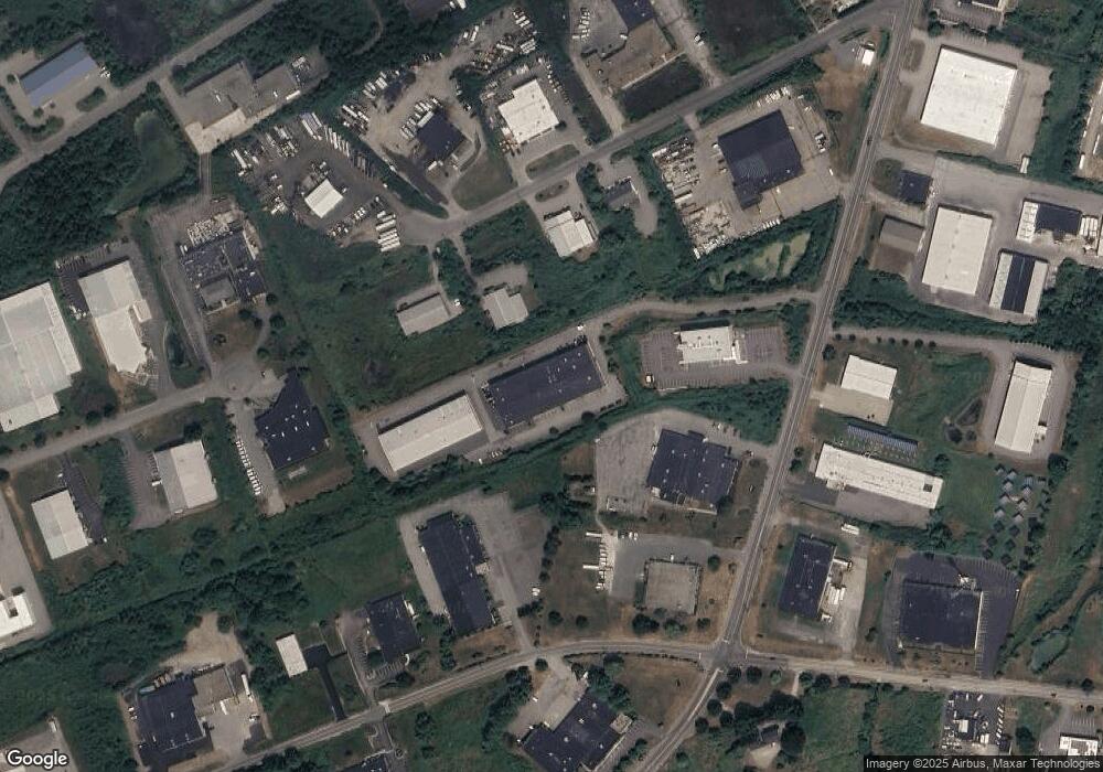
Map
Nearby Homes
- 3 Rogers Ct
- 14 Dexter Ln Unit 1
- 14 Dalton St
- 6 Doe Run Dr
- 7 Vernon St
- 6 Summit Place
- 138 Low St
- 141 State St Unit 2
- 41 Washington St Unit B
- 11 Congress St
- 2 Court St Unit 4
- 2 Hunter Dr
- 95 High St Unit 4
- 11 Boardman St
- 22 Kent St Unit 1
- 129 Merrimac St Unit 20
- 14-18 Market St
- 7 Summer St Unit 7
- 4 C Winter St Unit 12
- 27 Warren St Unit 1
- 18 Graf Rd Unit 26
- 18 Graf Rd Unit 30
- 18 Graf Rd Unit 32
- 18 Graf Rd Unit 31
- 18 Graf Rd Unit 1
- 18 Graf Rd Unit 12 & 13
- 18 Graf Rd Unit 25
- 18 Graf Rd Unit 9-11
- 18 Graf Rd Unit 19 up
- 18 Graf Rd Unit 12 & 13
- 18 Graf Rd Unit 21
- 18 Graf Rd Unit 29
- 18 Graf Rd Unit 22
- 18 Graf Rd Unit 1 & 2
- 18 Graf Rd
- 18 Graf Rd Unit 1
- 18 Graf Rd
- 18 Graf Rd Unit 12 & 13
- 7 New Pasture Rd
- 7 New Pasture Rd