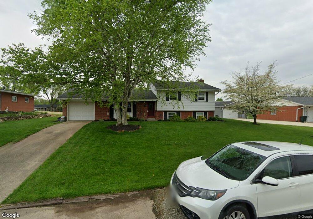
18 Grange Ave Mount Vernon, OH 43050
Estimated Value: $166,000
--
Bed
--
Bath
--
Sq Ft
4,792
Sq Ft Lot
About This Home
This home is located at 18 Grange Ave, Mount Vernon, OH 43050 and is currently estimated at $166,000. 18 Grange Ave is a home located in Knox County with nearby schools including Mount Vernon High School, St. Vincent de Paul School, and Ruscel Montessori Childrens House.
Ownership History
Date
Name
Owned For
Owner Type
Purchase Details
Closed on
Nov 7, 2007
Sold by
Williams Thomas R and Tess Nancy E
Bought by
Williams Thomas R
Current Estimated Value
Purchase Details
Closed on
Mar 28, 2000
Sold by
Piar Richard L
Bought by
Williams Thomas R and Williams Tess
Purchase Details
Closed on
Feb 19, 1993
Sold by
Mcdermott Doris L
Bought by
Piar Richard L
Purchase Details
Closed on
Feb 16, 1993
Sold by
Mcdermott Doris L and Mcdermott Flory
Bought by
Mcdermott Doris L
Purchase Details
Closed on
Oct 2, 1986
Sold by
Hauck Adele B
Bought by
Mcdermott Doris L and Mcdermott Flory
Create a Home Valuation Report for This Property
The Home Valuation Report is an in-depth analysis detailing your home's value as well as a comparison with similar homes in the area
Home Values in the Area
Average Home Value in this Area
Purchase History
| Date | Buyer | Sale Price | Title Company |
|---|---|---|---|
| Williams Thomas R | -- | None Available | |
| Williams Thomas R | $104,900 | -- | |
| Piar Richard L | $72,900 | -- | |
| Mcdermott Doris L | -- | -- | |
| Mcdermott Doris L | $48,500 | -- |
Source: Public Records
Tax History Compared to Growth
Tax History
| Year | Tax Paid | Tax Assessment Tax Assessment Total Assessment is a certain percentage of the fair market value that is determined by local assessors to be the total taxable value of land and additions on the property. | Land | Improvement |
|---|---|---|---|---|
| 2024 | $147 | $3,670 | $3,670 | $0 |
| 2023 | $147 | $3,670 | $3,670 | $0 |
| 2022 | $132 | $2,910 | $2,910 | $0 |
| 2021 | $132 | $2,910 | $2,910 | $0 |
| 2020 | $129 | $2,910 | $2,910 | $0 |
| 2019 | $149 | $3,150 | $3,150 | $0 |
| 2018 | $149 | $3,150 | $3,150 | $0 |
| 2017 | $146 | $3,150 | $3,150 | $0 |
| 2016 | $136 | $2,910 | $2,910 | $0 |
| 2015 | $137 | $2,910 | $2,910 | $0 |
| 2014 | $137 | $2,910 | $2,910 | $0 |
| 2013 | $170 | $3,340 | $2,740 | $600 |
Source: Public Records
Map
Nearby Homes
- 200 Mansfield Rd
- 109 Northridge Dr
- 107 Northridge Dr
- 33 Longitude Dr
- 769 Upper Fredericktown Rd
- 12567 Upper Fredericktown Rd
- 800 N Sandusky St
- 9 Rose Ave
- 12 Northview Dr
- 13219 Old Mansfield Rd
- 0 Indian Hills Rd
- 14835 Indian Hills Rd
- 10 Yoakam Dr
- 812 N Gay St
- 464 Wooster Rd
- 00 Banning Rd
- 0 Banning Rd Unit 9067916
- 0 Banning Rd Unit 225030037