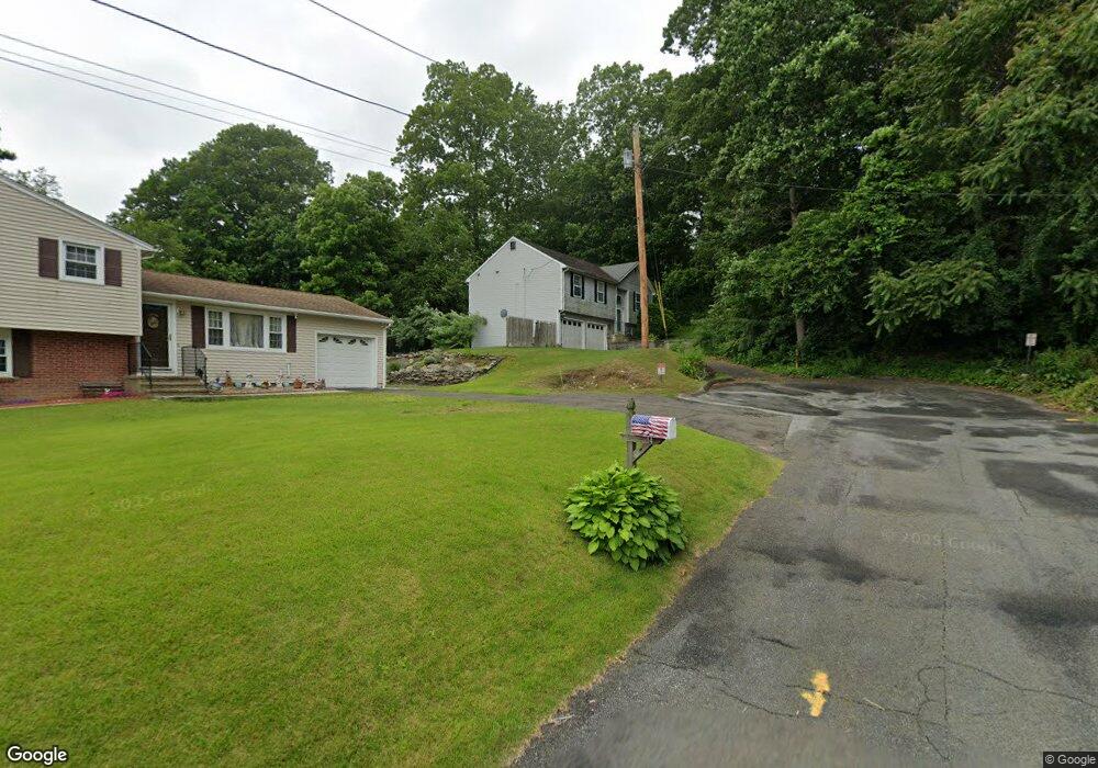
18 Hamburg St Shelton, CT 06484
Estimated Value: $511,000 - $541,000
3
Beds
3
Baths
1,235
Sq Ft
$428/Sq Ft
Est. Value
About This Home
This home is located at 18 Hamburg St, Shelton, CT 06484 and is currently estimated at $527,978, approximately $427 per square foot. 18 Hamburg St is a home located in Fairfield County with nearby schools including Sunnyside Elementary School, Perry Hill School, and Shelton Intermediate School.
Ownership History
Date
Name
Owned For
Owner Type
Purchase Details
Closed on
Jun 25, 2001
Sold by
Damico Jill A
Bought by
Benson Ewan and Benson Marianne
Current Estimated Value
Home Financials for this Owner
Home Financials are based on the most recent Mortgage that was taken out on this home.
Original Mortgage
$224,070
Interest Rate
7.09%
Purchase Details
Closed on
Sep 26, 1996
Sold by
Beacon Builders Llc
Bought by
Damico Jill and Damico Daniel
Create a Home Valuation Report for This Property
The Home Valuation Report is an in-depth analysis detailing your home's value as well as a comparison with similar homes in the area
Home Values in the Area
Average Home Value in this Area
Purchase History
| Date | Buyer | Sale Price | Title Company |
|---|---|---|---|
| Benson Ewan | $231,000 | -- | |
| Benson Ewan | $231,000 | -- | |
| Damico Jill | $155,000 | -- | |
| Damico Jill | $155,000 | -- |
Source: Public Records
Mortgage History
| Date | Status | Borrower | Loan Amount |
|---|---|---|---|
| Open | Damico Jill | $281,520 | |
| Closed | Damico Jill | $278,000 | |
| Closed | Damico Jill | $224,070 |
Source: Public Records
Tax History Compared to Growth
Tax History
| Year | Tax Paid | Tax Assessment Tax Assessment Total Assessment is a certain percentage of the fair market value that is determined by local assessors to be the total taxable value of land and additions on the property. | Land | Improvement |
|---|---|---|---|---|
| 2025 | $4,977 | $264,460 | $80,640 | $183,820 |
| 2024 | $5,072 | $264,460 | $80,640 | $183,820 |
| 2023 | $4,620 | $264,460 | $80,640 | $183,820 |
| 2022 | $4,620 | $264,460 | $80,640 | $183,820 |
| 2021 | $4,210 | $191,100 | $47,390 | $143,710 |
| 2020 | $4,284 | $191,100 | $47,390 | $143,710 |
| 2019 | $4,284 | $191,100 | $47,390 | $143,710 |
| 2017 | $4,244 | $191,100 | $47,390 | $143,710 |
| 2015 | $4,217 | $189,000 | $45,780 | $143,220 |
| 2014 | $4,217 | $189,000 | $45,780 | $143,220 |
Source: Public Records
Map
Nearby Homes
- 30 Rivendell Dr
- 46 Wakeley St
- 175 Coram Rd
- 52 Katherine Ct
- 50 Katherine Ct Unit 50
- 23 Bruce Dr
- 47 Victory St
- 74 Victory St
- 178 River Rd
- 32 Spindrift Ln Unit 32
- 6 Windward Way Unit 6
- 1 Windward Way Unit 1
- 5 Windward Way Unit 5
- 4 Windward Way Unit 4
- 3 Windward Way Unit 3
- 560 River Rd Unit 1
- 45 1/2 Woonsocket Ave
- 25 Bunker Hill Cir
- 59 Cranston Ave
- 819 Quarter Mile Rd
- 14 Hamburg St
- 35 Laurel Heights Rd
- 15 Hamburg St
- 10 Hamburg St
- 18 Knollwood Terrace W
- 31 Laurel Heights Rd
- 39 Laurel Heights Rd
- 66 Montgomery St
- 11 Hamburg St
- 60 Montgomery St
- 10 Knollwood Terrace W
- 68 Montgomery St
- 38 Montgomery St
- 6 Hamburg St
- 30 Laurel Heights Rd
- 7 Hamburg St
- 20 Knollwood Terrace W
- 54 Montgomery St
- 211 Coram Rd
- 213 Coram Rd