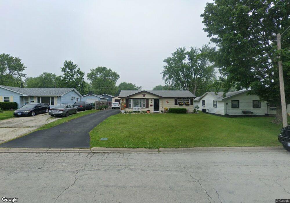
18 Hanson Dr Bourbonnais, IL 60914
Estimated Value: $133,000 - $189,000
2
Beds
1
Bath
792
Sq Ft
$192/Sq Ft
Est. Value
About This Home
This home is located at 18 Hanson Dr, Bourbonnais, IL 60914 and is currently estimated at $152,460, approximately $192 per square foot. 18 Hanson Dr is a home located in Kankakee County with nearby schools including Noel Levasseur Elementary School, Liberty Intermediate School, and Bourbonnais Upper Grade Center.
Ownership History
Date
Name
Owned For
Owner Type
Purchase Details
Closed on
Jun 27, 2024
Sold by
Hyde Gary D and Hyde Lynne A
Bought by
Renchen Alex and Renchen Jennifer
Current Estimated Value
Home Financials for this Owner
Home Financials are based on the most recent Mortgage that was taken out on this home.
Original Mortgage
$104,000
Outstanding Balance
$102,758
Interest Rate
6.99%
Mortgage Type
New Conventional
Estimated Equity
$49,702
Purchase Details
Closed on
Aug 10, 2005
Sold by
Lippner George S and Lippner Kimberly A
Bought by
Hyde Lynne A and Hyde Gary D
Create a Home Valuation Report for This Property
The Home Valuation Report is an in-depth analysis detailing your home's value as well as a comparison with similar homes in the area
Home Values in the Area
Average Home Value in this Area
Purchase History
| Date | Buyer | Sale Price | Title Company |
|---|---|---|---|
| Renchen Alex | $130,000 | Kankakee County Title | |
| Hyde Lynne A | $82,500 | Burnet Title Llc |
Source: Public Records
Mortgage History
| Date | Status | Borrower | Loan Amount |
|---|---|---|---|
| Open | Renchen Alex | $104,000 | |
| Closed | Hyde Lynne A | $74,250 |
Source: Public Records
Tax History
| Year | Tax Paid | Tax Assessment Tax Assessment Total Assessment is a certain percentage of the fair market value that is determined by local assessors to be the total taxable value of land and additions on the property. | Land | Improvement |
|---|---|---|---|---|
| 2024 | $3,247 | $39,208 | $5,251 | $33,957 |
| 2023 | $2,987 | $36,304 | $4,862 | $31,442 |
| 2022 | $2,924 | $34,109 | $4,686 | $29,423 |
| 2021 | $2,782 | $32,252 | $4,583 | $27,669 |
| 2020 | $2,509 | $28,530 | $4,460 | $24,070 |
| 2019 | $2,422 | $27,241 | $4,330 | $22,911 |
| 2018 | $2,431 | $27,264 | $4,266 | $22,998 |
| 2017 | $2,388 | $26,599 | $4,162 | $22,437 |
| 2016 | $2,328 | $25,986 | $4,100 | $21,886 |
| 2015 | $2,334 | $25,728 | $4,059 | $21,669 |
| 2014 | $2,241 | $25,728 | $4,059 | $21,669 |
| 2013 | -- | $28,014 | $4,059 | $23,955 |
Source: Public Records
Map
Nearby Homes
- 9 Hilltop Dr
- 22 Emery Dr
- 375 Meadows Rd N
- 220 Kathy Dr
- 1063 Yale Ave
- 269 Harvard Ave
- 1230 Eagle Bluff Dr
- 490 Meadows Rd N
- 261 Mohawk Dr
- 1356 Eagle Bluff Dr
- 1313 Eagle Bluff Dr
- 172 Anita Dr
- 1533 Stefanie Ln
- 817 Stonewall Dr
- 1582 Mid Court Dr
- 703 Heritage Dr
- 1565 Stefanie Ln
- 473 Mohawk Dr
- Lot 5 Larry Power Rd
- 899 Armour Rd