18 Harbor Point Key Biscayne, FL 33149
Estimated Value: $6,055,000 - $10,306,375
5
Beds
7
Baths
5,497
Sq Ft
$1,504/Sq Ft
Est. Value
About This Home
This home is located at 18 Harbor Point, Key Biscayne, FL 33149 and is currently estimated at $8,267,458, approximately $1,503 per square foot. 18 Harbor Point is a home located in Miami-Dade County with nearby schools including Key Biscayne K-8 Center, Ponce de Leon Middle School, and Coral Gables Senior High School.
Ownership History
Date
Name
Owned For
Owner Type
Purchase Details
Closed on
Aug 24, 2012
Sold by
Easton Edward W and Easton Amy
Bought by
Easton Edward W
Current Estimated Value
Purchase Details
Closed on
Mar 30, 2000
Sold by
Maranello Investments Inc
Bought by
Easton Edward W and Easton Amy
Purchase Details
Closed on
Mar 16, 1994
Sold by
Clerk Circuit Court
Bought by
Ayesha Ltd
Create a Home Valuation Report for This Property
The Home Valuation Report is an in-depth analysis detailing your home's value as well as a comparison with similar homes in the area
Home Values in the Area
Average Home Value in this Area
Purchase History
| Date | Buyer | Sale Price | Title Company |
|---|---|---|---|
| Easton Edward W | -- | Attorney | |
| Easton Edward W | $2,350,000 | -- | |
| Ayesha Ltd | $1,700,100 | -- |
Source: Public Records
Mortgage History
| Date | Status | Borrower | Loan Amount |
|---|---|---|---|
| Open | Easton Edward W | $1,820,000 |
Source: Public Records
Tax History
| Year | Tax Paid | Tax Assessment Tax Assessment Total Assessment is a certain percentage of the fair market value that is determined by local assessors to be the total taxable value of land and additions on the property. | Land | Improvement |
|---|---|---|---|---|
| 2025 | $48,145 | $3,079,031 | -- | -- |
| 2024 | $47,501 | $2,992,256 | -- | -- |
| 2023 | $47,501 | $2,905,103 | $0 | $0 |
| 2022 | $45,300 | $2,820,489 | $0 | $0 |
| 2021 | $45,473 | $2,738,339 | $0 | $0 |
| 2020 | $43,939 | $2,700,532 | $0 | $0 |
| 2019 | $43,044 | $2,639,817 | $0 | $0 |
| 2018 | $40,857 | $2,590,596 | $0 | $0 |
| 2017 | $40,355 | $2,537,313 | $0 | $0 |
| 2016 | $40,449 | $2,485,126 | $0 | $0 |
| 2015 | $41,052 | $2,467,852 | $0 | $0 |
| 2014 | $41,674 | $2,448,266 | $0 | $0 |
Source: Public Records
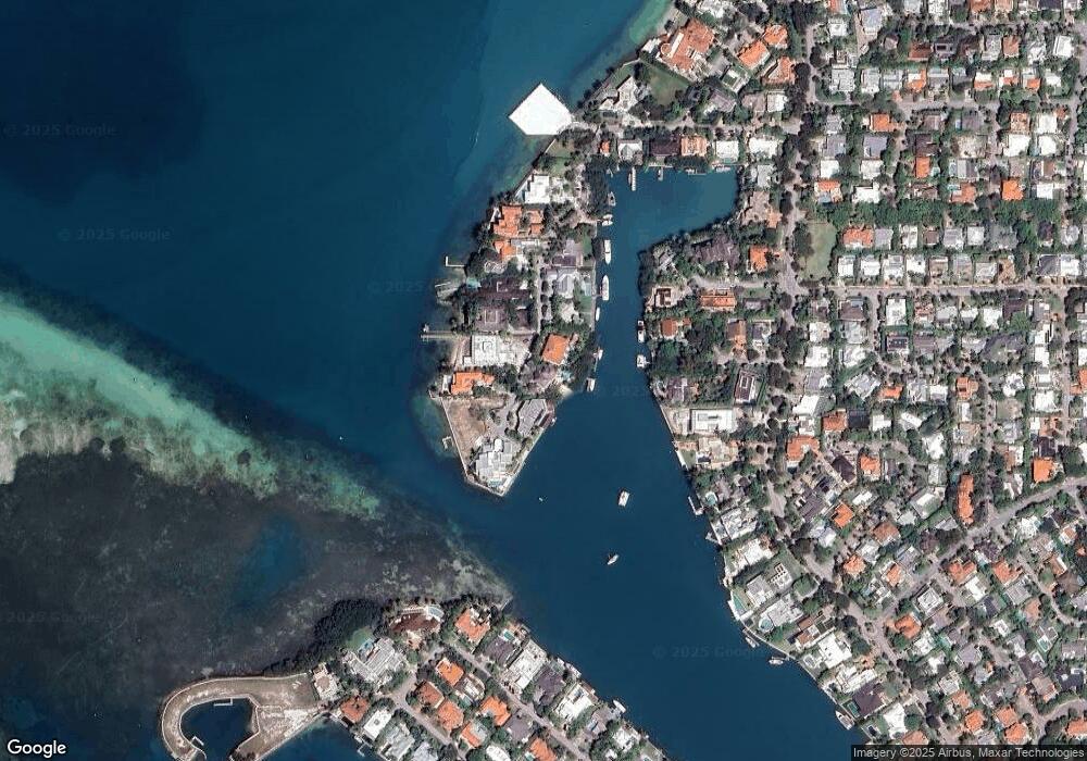
Map
Nearby Homes
- 5 Harbor Point
- 610 Harbor Cir
- 550 Harbor Dr
- 635 Curtiswood Dr
- 741 Harbor Dr
- 545 Sabal Palm Dr
- 591 N Mashta Dr
- 640 S Mashta Dr
- 425 Harbor Dr
- 355 Redwood Ln
- 524 Warren Ln
- 204 Westwood Dr
- 301 Redwood Ln
- 420 Island Dr
- 861 Harbor Dr
- 310 Greenwood Dr
- 691 Ridgewood Rd
- 250 Greenwood Dr
- 401 Warren Ln
- 310 Harbor Ct
Your Personal Tour Guide
Ask me questions while you tour the home.