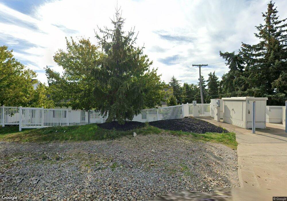
18 High Point Ln Unit 18 Willoughby, OH 44094
Downtown Willoughby NeighborhoodEstimated Value: $292,090 - $319,000
2
Beds
3
Baths
1,248
Sq Ft
$244/Sq Ft
Est. Value
About This Home
This home is located at 18 High Point Ln Unit 18, Willoughby, OH 44094 and is currently estimated at $304,773, approximately $244 per square foot. 18 High Point Ln Unit 18 is a home located in Lake County with nearby schools including Edison Elementary School, Willoughby Middle School, and South High School.
Ownership History
Date
Name
Owned For
Owner Type
Purchase Details
Closed on
Jun 15, 2023
Sold by
Yuratovak Gary M
Bought by
Gary M Yuratovac Revocable Trust and Yuratovac
Current Estimated Value
Purchase Details
Closed on
Feb 9, 2011
Sold by
Stern Deborah A
Bought by
Yuratovak Gary M and Yuratovac Gary M
Home Financials for this Owner
Home Financials are based on the most recent Mortgage that was taken out on this home.
Original Mortgage
$168,000
Interest Rate
4.23%
Mortgage Type
New Conventional
Purchase Details
Closed on
Jun 28, 2001
Sold by
Gully Brook Inc
Bought by
Yuratovak Gary M and Stern Deborah A
Home Financials for this Owner
Home Financials are based on the most recent Mortgage that was taken out on this home.
Original Mortgage
$156,400
Interest Rate
7.27%
Create a Home Valuation Report for This Property
The Home Valuation Report is an in-depth analysis detailing your home's value as well as a comparison with similar homes in the area
Home Values in the Area
Average Home Value in this Area
Purchase History
| Date | Buyer | Sale Price | Title Company |
|---|---|---|---|
| Gary M Yuratovac Revocable Trust | -- | None Listed On Document | |
| Yuratovak Gary M | -- | Attorney | |
| Yuratovak Gary M | $195,500 | Stewart Title |
Source: Public Records
Mortgage History
| Date | Status | Borrower | Loan Amount |
|---|---|---|---|
| Previous Owner | Yuratovak Gary M | $168,000 | |
| Previous Owner | Yuratovak Gary M | $156,400 |
Source: Public Records
Tax History Compared to Growth
Tax History
| Year | Tax Paid | Tax Assessment Tax Assessment Total Assessment is a certain percentage of the fair market value that is determined by local assessors to be the total taxable value of land and additions on the property. | Land | Improvement |
|---|---|---|---|---|
| 2024 | -- | $84,220 | $22,680 | $61,540 |
| 2023 | $6,842 | $72,260 | $18,110 | $54,150 |
| 2022 | $3,912 | $72,260 | $18,110 | $54,150 |
| 2021 | $3,929 | $72,260 | $18,110 | $54,150 |
| 2020 | $3,755 | $62,840 | $15,750 | $47,090 |
| 2019 | $3,484 | $62,840 | $15,750 | $47,090 |
| 2018 | $3,434 | $59,330 | $25,200 | $34,130 |
| 2017 | $3,412 | $59,330 | $25,200 | $34,130 |
| 2016 | $3,970 | $59,330 | $25,200 | $34,130 |
| 2015 | $3,858 | $59,330 | $25,200 | $34,130 |
| 2014 | $3,662 | $59,330 | $25,200 | $34,130 |
| 2013 | $3,665 | $59,330 | $25,200 | $34,130 |
Source: Public Records
Map
Nearby Homes
- 34210 Beacon Dr
- 35005 Lisle Ct
- 5785 Royal Dr
- 5549 Ericson Ln
- 5520 Bretton Ct
- 34840 Aspen Wood Ln
- 2531 Timberline Dr
- 35900 Jennie Ln
- 0 Hanna Rd
- 5510 Wildwood Ct Unit 81-A
- 5463 Millwood Ln Unit 42C
- 30529 Ridge Rd
- 5461 Millwood Ln
- 34675 Oak Tree Dr
- 5465 Millwood Ln Unit 40-C
- 30871 Harrison Rd
- 1857 Empire Rd
- 2131 Country Club Dr
- 1705 Douglas Rd
- 30811 Grant St
- 17 High Point Ln Unit 17
- 12 Sandridge Ln Unit 12
- 16 High Point Ln Unit 16
- 11 Sandridge Ln Unit 11
- 15 High Point Ln Unit 15
- 19 High Point Ln Unit 19
- 13 Sandridge Ln Unit 13
- 20 High Point Ln
- 14 Sandridge Ln
- 22 High Point Ln Unit 22
- 23 High Point Ln Unit 23
- 10 Sandridge Ln
- 9 Sandridge Ln
- 26 Preserve Dr Unit 26
- 27 Preserve Dr Unit 27
- 24 High Point Ln Unit 24
- 8 Sandridge Ln Unit 8
- 28 Preserve Dr Unit 28
- 7 Sandridge Ln Unit 7
- 29 Preserve Dr Unit 29
