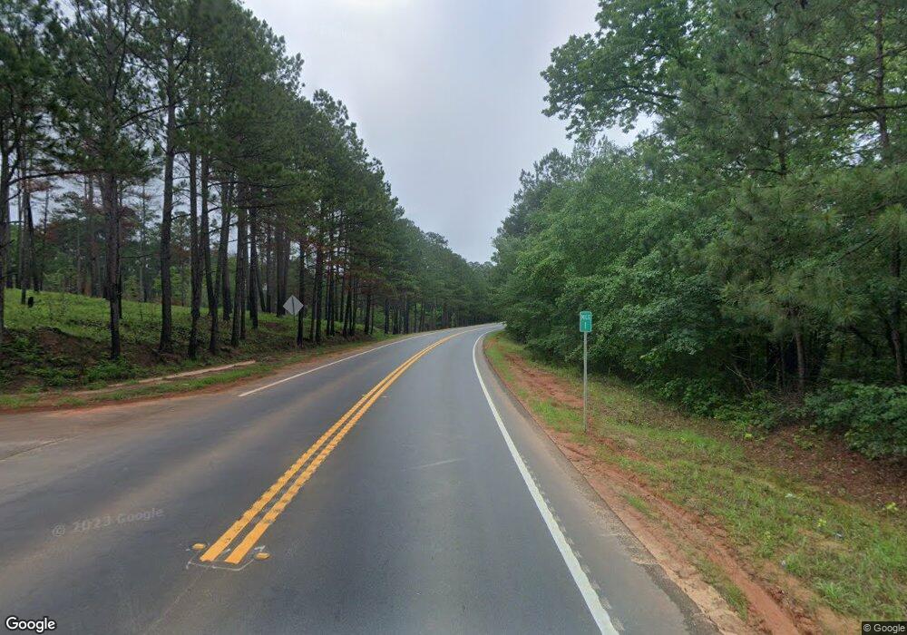
18 Highway 18 Rd Forsyth, GA 31029
Estimated Value: $315,000
--
Bed
--
Bath
1,388
Sq Ft
$227/Sq Ft
Est. Value
About This Home
This home is located at 18 Highway 18 Rd, Forsyth, GA 31029 and is currently estimated at $315,000, approximately $226 per square foot. 18 Highway 18 Rd is a home with nearby schools including T.G. Scott Elementary School, Mary Persons High School, and Lighthouse Academy.
Ownership History
Date
Name
Owned For
Owner Type
Purchase Details
Closed on
Nov 21, 2022
Sold by
Brown Maxwell Llc
Bought by
Onate Lorenzo Tafolla and Peralta Tafolla Doris
Current Estimated Value
Purchase Details
Closed on
Nov 4, 2022
Sold by
Harris Robert Lee
Bought by
Brown Maxwell Llc
Purchase Details
Closed on
Oct 28, 2022
Sold by
Clotfelter Celeste W
Bought by
Brown Maxwell Llc
Purchase Details
Closed on
Oct 27, 2022
Sold by
Parkhurst Harry F
Bought by
Brown Maxwell Llc
Purchase Details
Closed on
Oct 26, 2022
Sold by
Kozina Heather Dawn
Bought by
Brown Maxwell Llc
Create a Home Valuation Report for This Property
The Home Valuation Report is an in-depth analysis detailing your home's value as well as a comparison with similar homes in the area
Home Values in the Area
Average Home Value in this Area
Purchase History
| Date | Buyer | Sale Price | Title Company |
|---|---|---|---|
| Onate Lorenzo Tafolla | $1,060,000 | -- | |
| Brown Maxwell Llc | -- | -- | |
| Brown Maxwell Llc | -- | -- | |
| Brown Maxwell Llc | -- | -- | |
| Brown Maxwell Llc | -- | -- | |
| Brown Maxwell Llc | -- | -- |
Source: Public Records
Tax History Compared to Growth
Tax History
| Year | Tax Paid | Tax Assessment Tax Assessment Total Assessment is a certain percentage of the fair market value that is determined by local assessors to be the total taxable value of land and additions on the property. | Land | Improvement |
|---|---|---|---|---|
| 2024 | $1,982 | $164,960 | $143,560 | $21,400 |
| 2023 | $1,937 | $161,640 | $143,560 | $18,080 |
| 2022 | $1,822 | $161,640 | $143,560 | $18,080 |
| 2021 | $1,850 | $161,640 | $143,560 | $18,080 |
| 2020 | $1,860 | $161,640 | $143,560 | $18,080 |
| 2019 | $1,840 | $161,640 | $143,560 | $18,080 |
| 2018 | $1,811 | $161,640 | $143,560 | $18,080 |
| 2017 | $4,698 | $161,640 | $143,560 | $18,080 |
| 2016 | $1,868 | $161,640 | $143,560 | $18,080 |
| 2015 | $1,734 | $161,640 | $143,560 | $18,080 |
| 2014 | $1,637 | $161,640 | $143,560 | $18,080 |
Source: Public Records
Map
Nearby Homes
- 100 Gardens
- 104 Gardens
- 0 Benson Ham Rd Unit OUTPARCEL 2 10558340
- 0 Benson Ham Rd Unit OUTPARCEL 1 10551782
- 1242 Juliette Rd
- 436 Magnolia Ct
- 2022 Highway 41 N
- 0 Patrol Rd Unit 10473001
- 90 Bunn Rd
- Dogwood Plan at Juliette Crossing
- Camden Plan at Juliette Crossing
- Maple Plan at Juliette Crossing
- Hawthorne Plan at Juliette Crossing
- Harrison Plan at Juliette Crossing
- Ash II Plan at Juliette Crossing
- Belmont Plan at Juliette Crossing
- Delilah Plan at Juliette Crossing
- Oakwood Plan at Juliette Crossing
- Jackson Plan at Juliette Crossing
- Aspen Plan at Juliette Crossing
- 600 Dames Ferry Rd
- 590 Dames Ferry Rd
- 776 Dames Ferry Rd
- 1000 Benson Ham Rd
- 779 Dames Ferry Rd
- 213 Conifer Dr
- 0 Christian Rd Unit 8438757
- 0 Old Oak Dr Lightwood Ln Unit 33 8343761
- 4 Acres Roberts Farm Rd
- 0 Parcel 2 Unit 189 8320643
- 0 Abernathy Rd Unit 8289252
- 58 Ac Ivey Cir
- 0 Boxankle Unit 3051886
- 0 Lot 106 Unit 3061957
- 0 Boxankle Unit LOT 12 7006197
- 0 Boxankle Unit 11 7033212
- 0 Boxankle Unit 7068758
- 0 Boxankle Unit 7316151
- 0 Estes Rd Unit 1 8037029
- 0 Woodmont Ln Unit 8084197
