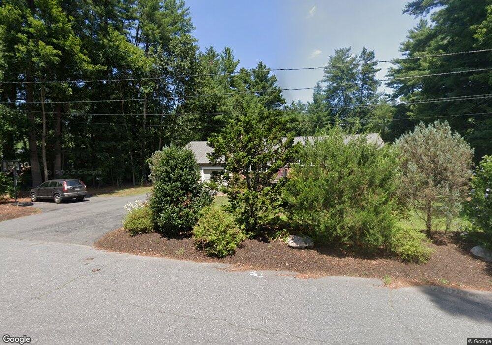
18 Jarman Rd Sudbury, MA 01776
Estimated Value: $863,000 - $905,000
3
Beds
2
Baths
1,635
Sq Ft
$538/Sq Ft
Est. Value
About This Home
This home is located at 18 Jarman Rd, Sudbury, MA 01776 and is currently estimated at $879,487, approximately $537 per square foot. 18 Jarman Rd is a home located in Middlesex County with nearby schools including Israel Loring Elementary School, Ephraim Curtis Middle School, and Lincoln-Sudbury Regional High School.
Ownership History
Date
Name
Owned For
Owner Type
Purchase Details
Closed on
Nov 10, 2005
Sold by
Spindel Linda
Bought by
Rosen Theresa M
Current Estimated Value
Home Financials for this Owner
Home Financials are based on the most recent Mortgage that was taken out on this home.
Original Mortgage
$219,000
Outstanding Balance
$119,186
Interest Rate
5.93%
Mortgage Type
Purchase Money Mortgage
Estimated Equity
$760,301
Create a Home Valuation Report for This Property
The Home Valuation Report is an in-depth analysis detailing your home's value as well as a comparison with similar homes in the area
Home Values in the Area
Average Home Value in this Area
Purchase History
| Date | Buyer | Sale Price | Title Company |
|---|---|---|---|
| Rosen Theresa M | $520,000 | -- |
Source: Public Records
Mortgage History
| Date | Status | Borrower | Loan Amount |
|---|---|---|---|
| Open | Rosen Theresa M | $219,000 |
Source: Public Records
Tax History Compared to Growth
Tax History
| Year | Tax Paid | Tax Assessment Tax Assessment Total Assessment is a certain percentage of the fair market value that is determined by local assessors to be the total taxable value of land and additions on the property. | Land | Improvement |
|---|---|---|---|---|
| 2025 | $11,317 | $773,000 | $366,900 | $406,100 |
| 2024 | $10,912 | $746,900 | $356,200 | $390,700 |
| 2023 | $11,033 | $699,600 | $329,800 | $369,800 |
| 2022 | $10,581 | $586,200 | $302,700 | $283,500 |
| 2021 | $10,336 | $548,900 | $302,700 | $246,200 |
| 2020 | $10,127 | $548,900 | $302,700 | $246,200 |
| 2019 | $9,831 | $548,900 | $302,700 | $246,200 |
| 2018 | $9,021 | $503,100 | $322,800 | $180,300 |
| 2017 | $9,001 | $507,400 | $348,900 | $158,500 |
| 2016 | $8,678 | $487,500 | $335,600 | $151,900 |
| 2015 | $7,932 | $450,700 | $322,700 | $128,000 |
| 2014 | $7,915 | $439,000 | $313,200 | $125,800 |
Source: Public Records
Map
Nearby Homes
- 25 Bridle Path
- 30 Rolling Ln
- 12 Hickory Rd
- 0 Robbins Rd
- 89 Bridle Path
- 54 Stone Rd
- 7 Saddle Ridge Rd
- 7 Adams Rd
- 143 Peakham Rd
- 24 Woodland Rd
- 0 Boston Post Rd
- 270 Old Lancaster Rd
- 1011 Boston Post Rd
- 128 Nobscot Rd
- 21 Summer St
- 36 Concord Rd
- 30 Nobscot Rd Unit 14
- 23 Massasoit Ave
- 123 Dutton Rd
- 24 Goodnow Rd
- 12 Jarman Rd
- 24 Jarman Rd
- 3 Old Meadow Rd
- 6 Old Meadow Rd
- 9 Stonebrook Rd
- 30 Jarman Rd
- 15 Stonebrook Rd
- 111 Horse Pond Rd
- 21 Stonebrook Rd
- 1 Jarman Rd
- 29 Jarman Rd
- 11 Old Meadow Rd
- 3 Stonebrook Rd
- 125 Horse Pond Rd
- 125 Horse Pond Rd Unit 1
- 12 Old Meadow Rd
- 36 Jarman Rd
- 103 Horse Pond Rd
- 29 Stonebrook Rd
- 14 Stonebrook Rd