18 Johnson St Taunton, MA 02780
Weir Village NeighborhoodEstimated Value: $461,000 - $561,000
3
Beds
1
Bath
1,632
Sq Ft
$321/Sq Ft
Est. Value
About This Home
This home is located at 18 Johnson St, Taunton, MA 02780 and is currently estimated at $524,007, approximately $321 per square foot. 18 Johnson St is a home located in Bristol County with nearby schools including Elizabeth Pole School, Taunton High School, and John F. Parker Middle School.
Ownership History
Date
Name
Owned For
Owner Type
Purchase Details
Closed on
Mar 8, 2019
Sold by
Peterson Gerald C and Peterson Patricia A
Bought by
Peterson Gerald C and Peterson Tatum
Current Estimated Value
Purchase Details
Closed on
May 31, 2011
Sold by
Gill Hyeok and Hah Son
Bought by
Hah Chong H
Purchase Details
Closed on
Jan 1, 1981
Bought by
Peterson Gerald C
Create a Home Valuation Report for This Property
The Home Valuation Report is an in-depth analysis detailing your home's value as well as a comparison with similar homes in the area
Home Values in the Area
Average Home Value in this Area
Purchase History
| Date | Buyer | Sale Price | Title Company |
|---|---|---|---|
| Peterson Gerald C | -- | -- | |
| Hah Chong H | -- | -- | |
| Peterson Gerald C | -- | -- |
Source: Public Records
Mortgage History
| Date | Status | Borrower | Loan Amount |
|---|---|---|---|
| Previous Owner | Peterson Gerald C | $45,000 | |
| Previous Owner | Peterson Gerald C | $10,500 |
Source: Public Records
Tax History Compared to Growth
Tax History
| Year | Tax Paid | Tax Assessment Tax Assessment Total Assessment is a certain percentage of the fair market value that is determined by local assessors to be the total taxable value of land and additions on the property. | Land | Improvement |
|---|---|---|---|---|
| 2025 | $4,862 | $444,400 | $129,300 | $315,100 |
| 2024 | $4,530 | $404,800 | $129,300 | $275,500 |
| 2023 | $4,430 | $367,600 | $129,300 | $238,300 |
| 2022 | $4,232 | $321,100 | $107,700 | $213,400 |
| 2021 | $4,019 | $283,000 | $97,900 | $185,100 |
| 2020 | $3,994 | $268,800 | $97,900 | $170,900 |
| 2019 | $4,279 | $271,500 | $113,000 | $158,500 |
| 2018 | $4,013 | $255,300 | $114,000 | $141,300 |
| 2017 | $3,874 | $246,600 | $108,800 | $137,800 |
| 2016 | $3,735 | $238,200 | $105,500 | $132,700 |
| 2015 | $3,671 | $244,600 | $105,500 | $139,100 |
| 2014 | $3,520 | $240,900 | $105,500 | $135,400 |
Source: Public Records
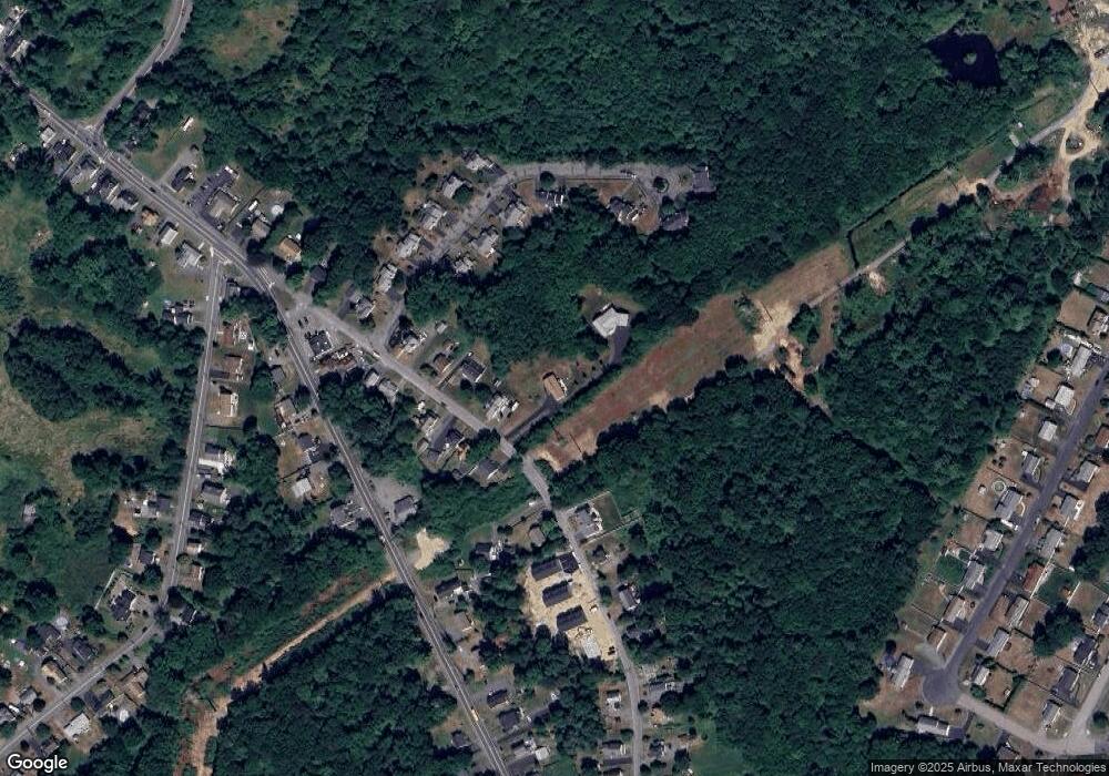
Map
Nearby Homes
- 23 Johnson St Unit A
- 23 Johnson St Unit C
- 11 Williams St
- 600 County St
- 600 County St Lot A
- 600
- 55 Donna Terrace
- 59 Linden St Unit 308
- 71 Linden St
- 168 Hart St Unit 22
- 26 Maynard St Unit A
- 1301 Carriage Ln Unit 1301
- 117 Hart St Unit 5
- 106 Alicia Dr
- 28 Barbara Rd
- 170 Hart St Unit B
- 165 King James Blvd
- 1 Fayal Ave
- 6 W Summer St
- 99 Summer St