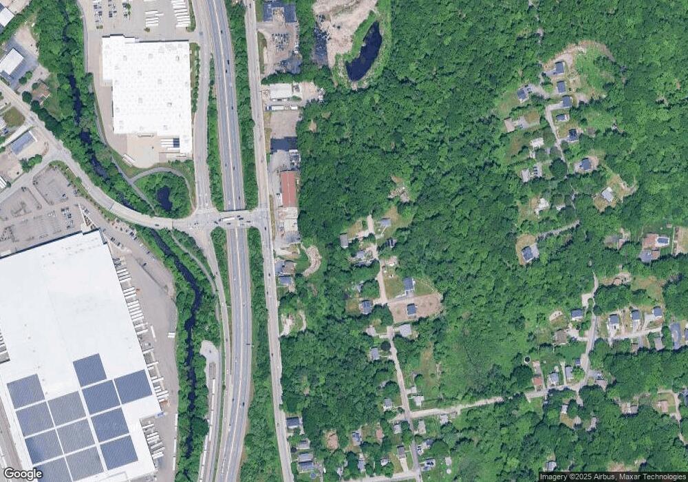
18 Leland St Worcester, MA 01607
Broadmeadow Brook NeighborhoodEstimated Value: $94,000 - $392,000
3
Beds
2
Baths
1,050
Sq Ft
$255/Sq Ft
Est. Value
About This Home
This home is located at 18 Leland St, Worcester, MA 01607 and is currently estimated at $267,333, approximately $254 per square foot. 18 Leland St is a home located in Worcester County with nearby schools including Quinsigamond School, Jacob Hiatt Magnet School, and Chandler Magnet.
Ownership History
Date
Name
Owned For
Owner Type
Purchase Details
Closed on
Oct 10, 2019
Sold by
D & A Industries Realty
Bought by
Gold Star Builders Inc
Current Estimated Value
Purchase Details
Closed on
Apr 15, 2003
Sold by
Lomartire Marc C and Lomartire Nerissa
Bought by
Hitch N Run Realty Cor
Purchase Details
Closed on
Jun 8, 1993
Sold by
Salem 5C Sb and Bauer Charlene
Bought by
Lomartire Mac C
Purchase Details
Closed on
Jun 9, 1992
Sold by
Donaldson William H
Bought by
Salem 5C Sb
Create a Home Valuation Report for This Property
The Home Valuation Report is an in-depth analysis detailing your home's value as well as a comparison with similar homes in the area
Home Values in the Area
Average Home Value in this Area
Purchase History
| Date | Buyer | Sale Price | Title Company |
|---|---|---|---|
| Gold Star Builders Inc | $175,000 | -- | |
| Hitch N Run Realty Cor | $162,500 | -- | |
| Lomartire Mac C | $42,000 | -- | |
| Salem 5C Sb | $79,000 | -- |
Source: Public Records
Mortgage History
| Date | Status | Borrower | Loan Amount |
|---|---|---|---|
| Previous Owner | Salem 5C Sb | $93,500 | |
| Previous Owner | Salem 5C Sb | $70,000 | |
| Previous Owner | Salem 5C Sb | $120,000 |
Source: Public Records
Tax History Compared to Growth
Tax History
| Year | Tax Paid | Tax Assessment Tax Assessment Total Assessment is a certain percentage of the fair market value that is determined by local assessors to be the total taxable value of land and additions on the property. | Land | Improvement |
|---|---|---|---|---|
| 2025 | $1,568 | $118,900 | $118,900 | $0 |
| 2024 | $1,635 | $118,900 | $118,900 | $0 |
| 2023 | $1,483 | $103,400 | $103,400 | $0 |
| 2022 | $1,258 | $82,700 | $82,700 | $0 |
| 2021 | $3,580 | $219,900 | $66,200 | $153,700 |
| 2020 | $3,451 | $203,000 | $67,300 | $135,700 |
| 2019 | $3,321 | $184,500 | $61,000 | $123,500 |
| 2018 | $3,330 | $176,100 | $61,000 | $115,100 |
| 2017 | $3,200 | $166,500 | $61,000 | $105,500 |
| 2016 | $3,153 | $153,000 | $46,500 | $106,500 |
| 2015 | $3,071 | $153,000 | $46,500 | $106,500 |
| 2014 | $2,990 | $153,000 | $46,500 | $106,500 |
Source: Public Records
Map
Nearby Homes
- 10 Gensell Ave
- 422 Granite St
- 5 Tatman St
- 54 Park Hill Rd
- 36 Gibbs St Unit 15
- 457 Granite St
- 4 Crest Ave
- 11 Gibbs St Unit 40
- 11 Gibbs St Unit 12
- 32 Kosta St
- 1295 Millbury St Unit B
- 29 Steele St
- 17 Thenius St
- 145 Loxwood St
- 7 Heather Ave
- 306 Greenwood St
- 216 Providence St
- 55 Tennyson St
- 45 Dillon St
- 28 Bittersweet Blvd
- 1089A Millbury St
- 1089B Millbury St
- 1091 Millbury St
- 5 and 7 Thenius St
- Lot Mallard Rd
- 64 Saint Louis St
- 66 Saint Louis St
- 74 Saint Louis St
- 62 Saint Louis St
- 60 Saint Louis St
- 62 St Louis St Unit 1
- 1095 Millbury St
- 1089 Millbury St
- 80 Saint Louis St
- 82 Saint Louis St
- 1085 Millbury St
- 65 St Louis St
- 63 Saint Louis St
- 86 Saint Louis St
- 43 Saint Louis St
