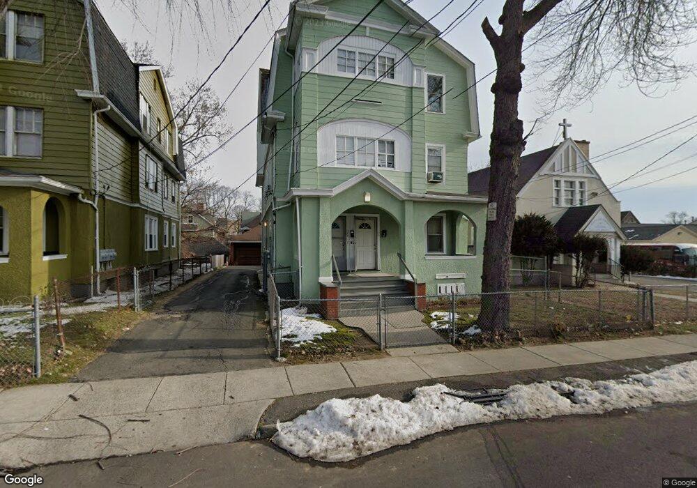
18 Lenox St Unit 20 Hartford, CT 06112
Upper Albany NeighborhoodEstimated Value: $399,000 - $505,805
9
Beds
3
Baths
4,080
Sq Ft
$110/Sq Ft
Est. Value
About This Home
This home is located at 18 Lenox St Unit 20, Hartford, CT 06112 and is currently estimated at $447,201, approximately $109 per square foot. 18 Lenox St Unit 20 is a home located in Hartford County with nearby schools including Breakthrough Magnet School - North Campus, West Middle School, and Rawson School.
Ownership History
Date
Name
Owned For
Owner Type
Purchase Details
Closed on
May 2, 2024
Sold by
Solomon Clarence R
Bought by
Jordan Donna M
Current Estimated Value
Purchase Details
Closed on
Jun 9, 1988
Sold by
Henry Glaubman Est
Bought by
Solomon Clarence R
Home Financials for this Owner
Home Financials are based on the most recent Mortgage that was taken out on this home.
Original Mortgage
$95,000
Interest Rate
10.21%
Mortgage Type
Purchase Money Mortgage
Create a Home Valuation Report for This Property
The Home Valuation Report is an in-depth analysis detailing your home's value as well as a comparison with similar homes in the area
Home Values in the Area
Average Home Value in this Area
Purchase History
| Date | Buyer | Sale Price | Title Company |
|---|---|---|---|
| Jordan Donna M | -- | None Available | |
| Jordan Donna M | -- | None Available | |
| Solomon Clarence R | $110,000 | -- |
Source: Public Records
Mortgage History
| Date | Status | Borrower | Loan Amount |
|---|---|---|---|
| Previous Owner | Solomon Clarence R | $73,000 | |
| Previous Owner | Solomon Clarence R | $95,000 |
Source: Public Records
Tax History Compared to Growth
Tax History
| Year | Tax Paid | Tax Assessment Tax Assessment Total Assessment is a certain percentage of the fair market value that is determined by local assessors to be the total taxable value of land and additions on the property. | Land | Improvement |
|---|---|---|---|---|
| 2025 | $6,553 | $95,036 | $3,969 | $91,067 |
| 2024 | $6,553 | $95,036 | $3,969 | $91,067 |
| 2023 | $6,553 | $95,036 | $3,969 | $91,067 |
| 2022 | $6,553 | $95,036 | $3,969 | $91,067 |
| 2021 | $4,412 | $59,395 | $3,465 | $55,930 |
| 2020 | $4,412 | $59,395 | $3,465 | $55,930 |
| 2019 | $4,412 | $59,395 | $3,465 | $55,930 |
| 2018 | $4,264 | $57,393 | $3,349 | $54,044 |
| 2016 | $4,121 | $55,466 | $3,189 | $52,277 |
| 2015 | $3,925 | $52,831 | $3,037 | $49,794 |
| 2014 | $3,829 | $51,539 | $2,963 | $48,576 |
Source: Public Records
Map
Nearby Homes
- 78-80 Cabot St
- 68 Sterling St Unit 70
- 54 Edgewood St Unit A
- 131-135,137-145,119- Albany Ave
- 62 Burton St
- 59 Magnolia St
- 338 Sigourney St Unit 340
- 10 Burton St Unit 12
- 67 Enfield St Unit 37
- 33 E Raymond St Unit 35
- 6 Magnolia St
- 240 Sargeant St
- 68 Enfield St Unit 70
- 410 Garden St
- 87 Mansfield St Unit 89
- 290 Sargeant St Unit 292
- 59 Mansfield St Unit 61
- 96 Sargeant St Unit 98
- 50 Mansfield St
- 150 Adams St Unit 152
- 18-20 Lenox St Unit 1
- 22 Lenox St Unit 24
- 15 Lenox St Unit 17
- 23 Lenox St Unit 25
- 26 Lenox St Unit 28
- 26-28 Lenox St
- 19 Lenox St Unit 21
- 119 Edgewood St Unit 121
- 31 Lenox St Unit 33
- 123 Edgewood St Unit 125
- 125 Edgewood St
- 127 Edgewood St Unit 129
- 127 Edgewood St Unit 1
- 27 Lenox St Unit 29
- 115 Edgewood St Unit 117
- 992 Albany Ave
- 109 Edgewood St Unit 111
- 36-38 Lenox St
- 135 Edgewood St Unit 137
- 139 Edgewood St Unit 141