18 Lick Run Rd Bloomsburg, PA 17815
Estimated Value: $239,266 - $348,000
--
Bed
--
Bath
1,700
Sq Ft
$174/Sq Ft
Est. Value
About This Home
This home is located at 18 Lick Run Rd, Bloomsburg, PA 17815 and is currently estimated at $295,817, approximately $174 per square foot. 18 Lick Run Rd is a home located in Columbia County with nearby schools including Central Columbia Elementary School, Central Columbia Middle School, and Central Columbia Senior High School.
Ownership History
Date
Name
Owned For
Owner Type
Purchase Details
Closed on
Jan 14, 2005
Sold by
Adams James L and Adams Cathy L
Bought by
Sarnoski Brett W and Sarnoski Kristin
Current Estimated Value
Home Financials for this Owner
Home Financials are based on the most recent Mortgage that was taken out on this home.
Original Mortgage
$146,000
Outstanding Balance
$74,005
Interest Rate
5.81%
Mortgage Type
New Conventional
Estimated Equity
$221,812
Create a Home Valuation Report for This Property
The Home Valuation Report is an in-depth analysis detailing your home's value as well as a comparison with similar homes in the area
Home Values in the Area
Average Home Value in this Area
Purchase History
| Date | Buyer | Sale Price | Title Company |
|---|---|---|---|
| Sarnoski Brett W | $165,000 | None Available |
Source: Public Records
Mortgage History
| Date | Status | Borrower | Loan Amount |
|---|---|---|---|
| Open | Sarnoski Brett W | $146,000 |
Source: Public Records
Tax History Compared to Growth
Tax History
| Year | Tax Paid | Tax Assessment Tax Assessment Total Assessment is a certain percentage of the fair market value that is determined by local assessors to be the total taxable value of land and additions on the property. | Land | Improvement |
|---|---|---|---|---|
| 2025 | $2,854 | $44,061 | $0 | $0 |
| 2024 | $2,778 | $44,061 | $12,534 | $31,527 |
| 2023 | $2,646 | $44,061 | $12,534 | $31,527 |
| 2022 | $2,646 | $44,061 | $12,534 | $31,527 |
| 2021 | $2,646 | $44,061 | $12,534 | $31,527 |
| 2020 | $2,551 | $44,061 | $12,534 | $31,527 |
| 2019 | $2,496 | $44,061 | $12,534 | $31,527 |
| 2018 | $2,496 | $44,061 | $12,534 | $31,527 |
| 2017 | $2,463 | $44,061 | $12,534 | $31,527 |
| 2016 | -- | $44,061 | $12,534 | $31,527 |
| 2015 | -- | $43,075 | $12,534 | $30,541 |
| 2014 | -- | $43,075 | $12,534 | $30,541 |
Source: Public Records
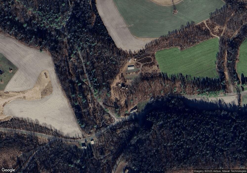
Map
Nearby Homes
- 298 Peacock Corners Rd
- 407 Main St
- 370 Kline Rd
- 53 Fox Hollow Rd
- 29 N End Ln
- 139 Rotary St
- 63 Brentwood Cir
- 135 Ash St
- 107 E Pebble Ln
- 2622 Johnson Rd
- 14 Fowlersville Rd
- 34 Fowlersville Rd
- 21 Levi St
- 56 Whitmire Rd
- 0 Alliance Park Lot 6 Dr
- 0 Alliance Park Dr
- 568 Beilys Rd
- 4 Eyersgrove Rd
- LOT #3 Sawmill Rd
- 11 Amanda Dr
- 646 Mount Pleasant Rd
- 532 Whites Church Rd
- 671 Mount Pleasant Rd
- 722 Mount Pleasant Rd
- 592 Mount Pleasant Rd
- 2015 Deihls Rd
- 553 Mount Pleasant Rd
- 740 Mount Pleasant Rd
- 452A Whites Church Rd Unit C
- 21 Mcwilliams Rd
- 538 Mount Pleasant Rd
- 77 Crouse Hollow Rd
- 2040 Deihls Rd
- 518 Whites Church Rd
- 721 Mount Pleasant Rd
- 89 Mcwilliams Rd
- 511 Mount Pleasant Rd
- 796 Mount Pleasant Rd
- 30 Evert Rd
- 119 Crouse Hollow Rd